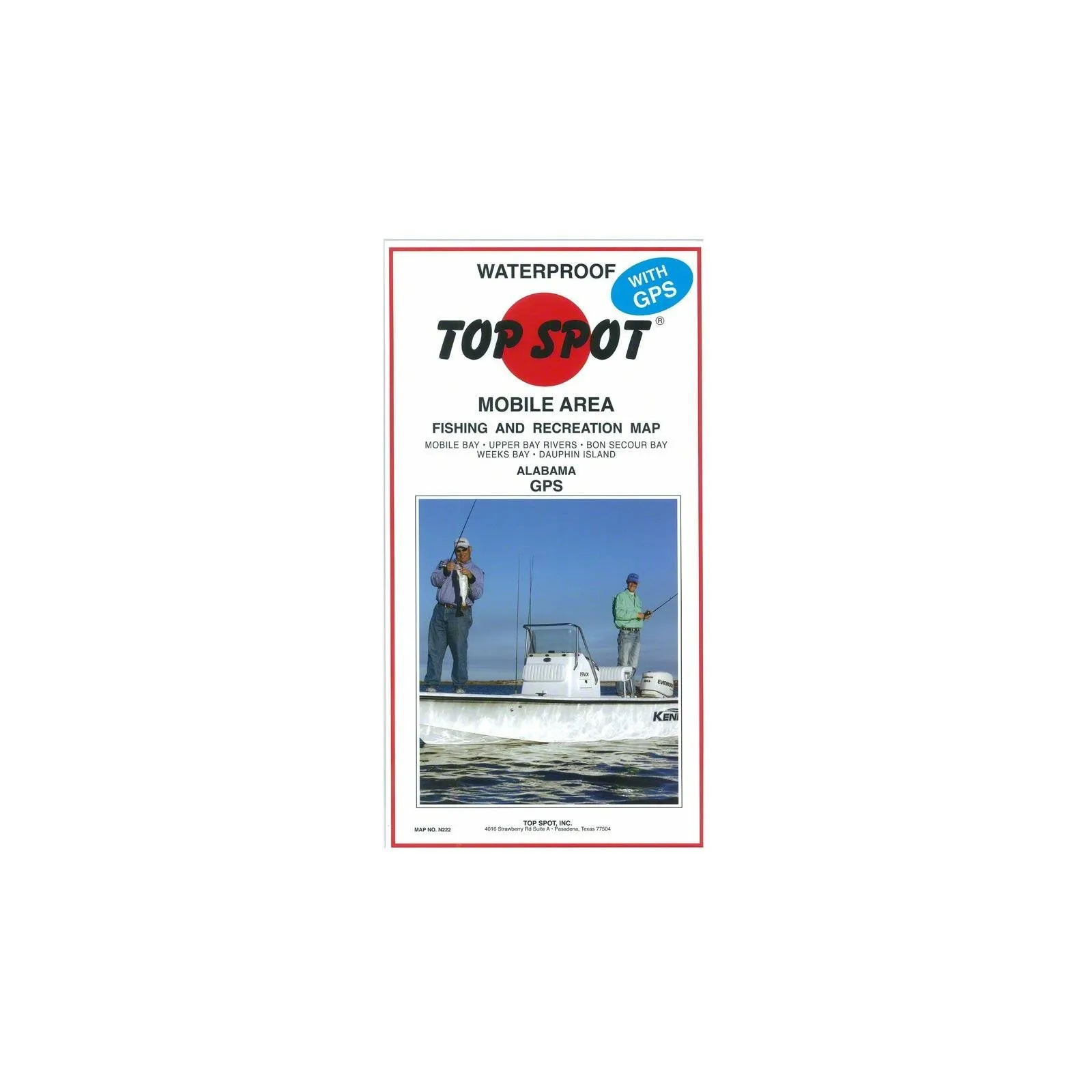
When it comes to fishing adventures, having the right tools is essential. The Topspot Fishing Map from Mobile Bay to Dauphin Island is a must-have for any avid angler or outdoor enthusiast. This meticulously crafted map provides detailed insights into the fishing hotspots along this beautiful stretch of water.
Measuring 30.48 cm in height, 15.24 cm in width, and just 0.254 cm in length, this compact map is easy to carry yet rich in information. Whether you are a seasoned fisherman or a newcomer to the sport, this map will enhance your fishing experience.
The Topspot Fishing Map features not only fishing locations but also provides vital information about local regulations, topography, and water depths. With this map in hand, you can confidently navigate the waters from Mobile Bay to Dauphin Island, ensuring that you find the best spots to cast your line.
| Feature | Details |
| Brand | Topspot |
| Product Type | Fishing Equipment |
| Height | 30.48 cm |
| Width | 15.24 cm |
| Length | 0.254 cm |
This fishing map is designed for both convenience and practicality. Its durable construction allows it to withstand the rigors of outdoor use, ensuring that it remains intact, even during your most adventurous outings. The clear graphics and easy-to-read text make it simple to identify key locations, and the thoughtful layout means you won’t waste time searching for information.
Furthermore, the Topspot Fishing Map encourages exploration and discovery. With its detailed information, you can uncover hidden gems and lesser-known fishing spots that are often overlooked. This map is not just a tool; it’s an invitation to explore the natural beauty and richness of the waterways between Mobile Bay and Dauphin Island.
Whether you are planning a fishing trip with friends or a peaceful day alone on the water, the Topspot Fishing Map is your guide to a successful outing. Experience the thrill of fishing with confidence, knowing that you have the best resources at your fingertips.


Reviews
There are no reviews yet.