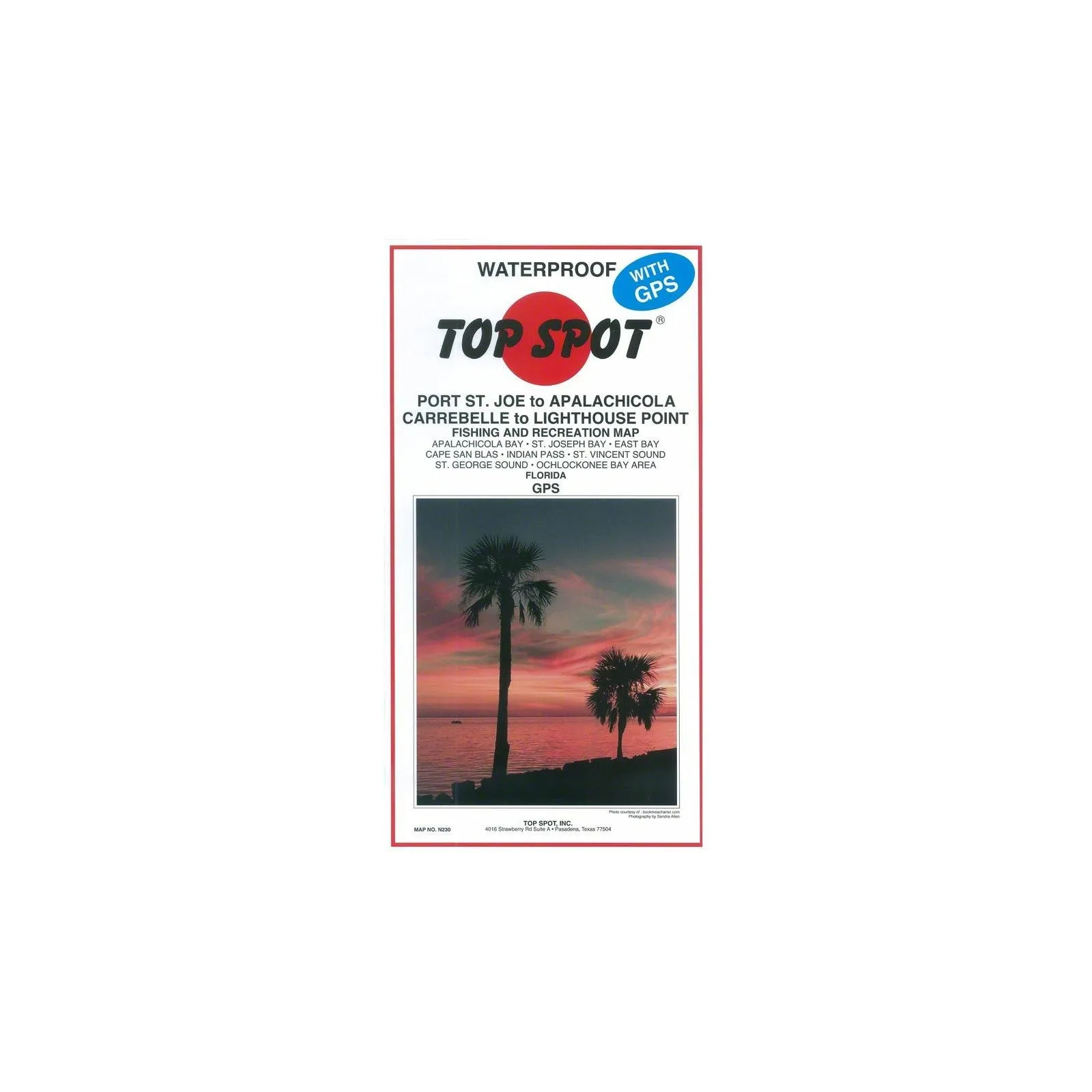
Introducing the Topspot Fishing Map, your ultimate companion for navigating the waters from Port St Joe Alalch to Lthse Point. This meticulously crafted map is designed with the typical outdoorsman in mind, ensuring that you have all the information you need to make your fishing expedition a success.
With dimensions of 12.953 cm in length, 30.48 cm in width, and 9.144 cm in height, this fishing map is compact yet comprehensive. Weighing only 1.4 pounds, it is lightweight and easy to carry, making it a perfect addition to your fishing gear.
| Feature | Description |
| Product Type | Fishing Equipment |
| Country of Origin | United States |
| Item Package Dimensions | 12.953 L x 30.48 W x 9.144 H (cm) |
| Item Package Weight | 1.4 Pounds |
This fishing map is not just a tool; it is an essential guide for anyone looking to explore the rich waters of Port St Joe Alalch to Lthse Point. The detailed cartography highlights key fishing spots, navigational aids, and local features, making it easier for you to plan your day on the water.
Whether you are a seasoned angler or a casual fisherman, the Topspot Fishing Map provides the insights and details necessary for a fruitful outing. The map includes information on various fish species, seasonal patterns, and local regulations, ensuring that you are well-prepared for your fishing adventure.
Every outdoor enthusiast understands the importance of having reliable tools at their disposal. This map, made in the United States, reflects quality craftsmanship and attention to detail, which every angler deserves.
Don’t leave your fishing success to chance. Equip yourself with the Topspot Fishing Map from Port St Joe Alalch to Lthse Point, and embark on your next outdoor adventure with confidence.


Reviews
There are no reviews yet.