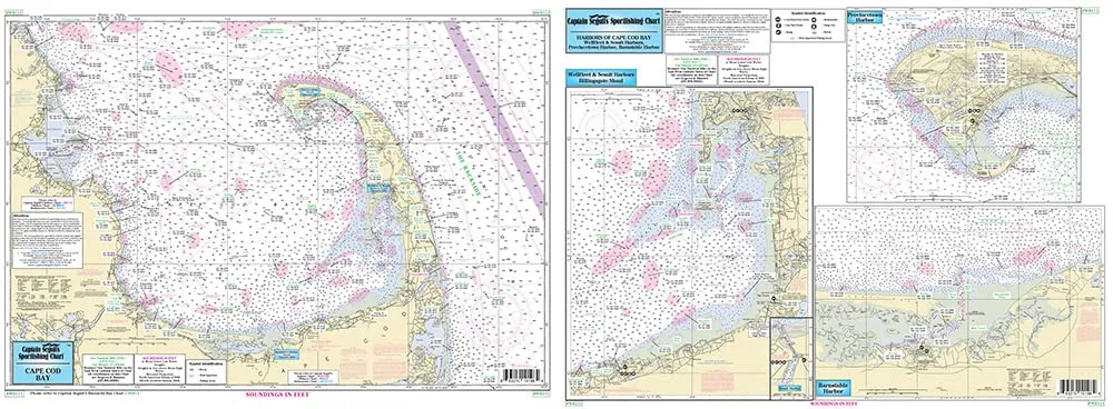
Welcome to the ultimate resource for fishing and navigation enthusiasts: the ‘Harbors of Cape Cod Bay’ laminated nautical chart. This meticulously crafted chart is designed by Captain Segull’s Nautical Sportfishing Charts, ensuring you have the most accurate and detailed information while enjoying your time on the water.
This inshore and nearshore fishing chart provides detailed insights into the beautiful waters of Cape Cod Bay. Measuring 19.5 inches by 26.5 inches, this chart features two informative sides that cover essential areas for both novice and seasoned fishermen.
| Chart Features | Description |
| Laminated for Durability | The chart is double-sided and laminated, ensuring it withstands the rigors of marine use. |
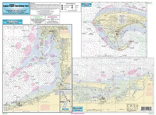
| Inshore/Nearshore Coverage | Side A focuses on key harbors including Sesuit, Barnstable, Wellfleet, and Provincetown. |
| Detailed Fishing Areas | Shows fishing zones, wrecks, reefs, and local names, optimized for GPS navigation. |
| Easy-to-Read Format | With clear markings and legends, it is user-friendly for all skill levels. |
On Side A of the chart, you will find a detailed representation of notable harbors such as Sesuit, Barnstable, Wellfleet, and Provincetown. These areas are well-known for their abundant marine life and offer excellent fishing opportunities. Whether you are seeking striped bass, flounder, or bluefish, this chart has you covered.
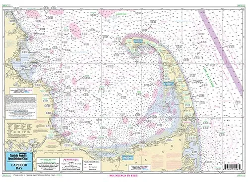
Side B provides a broader view of the entire Cape Cod Bay area, including important nearshore fishing spots. This side is particularly valuable for those venturing out into deeper waters or exploring wrecks and reefs. With accurate GPS coordinates displayed to the thousandths of a minute, you can confidently navigate your way through the waters.
This laminated fishing chart not only serves as a practical tool but also as a keepsake for those who cherish the beauty of Cape Cod. The vibrant colors and intricate details make it a perfect addition to your boating gear or an excellent gift for fishing enthusiasts.
In addition to its practical uses, this fishing chart is designed to be resilient. The lamination ensures that it is protected from water damage, dirt, and tearing, making it ideal for outdoor conditions. Just wipe it clean after your trip, and it’s ready for your next adventure.
As you plan your next fishing trip, consider the invaluable assistance this chart will provide. Whether you are a local or a visitor, the ‘Harbors of Cape Cod Bay’ chart will guide you to the best spots while enriching your experience on the water.
In summary, the ‘Harbors of Cape Cod Bay’ laminated fishing chart by Captain Segull is a must-have for anyone passionate about fishing and navigation. With its detailed graphics, user-friendly layout, and durable design, it’s an essential tool for making the most of your time on Cape Cod’s beautiful waters.


Reviews
There are no reviews yet.