$14.95
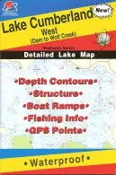
Explore the Lake Cumberland West Fishing Map, featuring waterproof design, depth contours, and GPS points for the best fishing experience.
Welcome to the ultimate fishing experience with the Lake Cumberland West Fishing Map, part of the renowned Kentucky Fishing Map Series (L444). This waterproof map is designed specifically for anglers who are serious about their fishing adventures. Whether you are a seasoned fisherman or a novice, this map is an essential tool for navigating the beautiful waters of Lake Cumberland.
One of the standout features of this fishing map is its detailed depth contours. Understanding the underwater landscape is crucial for successful fishing, and this map provides you with precise information about various depths throughout the lake. This allows you to identify the best fishing spots where fish are likely to be found.
In addition to depth contours, the map also includes comprehensive information about the bottom structure. Knowing what lies beneath the surface can significantly enhance your fishing strategies. The map highlights key areas such as submerged structures, which are often hotspots for larger fish.
Our Lake Cumberland West Fishing Map also features essential details about boat ramps, making it easy for you to access the water quickly and efficiently. It provides information on the best locations to launch your boat, ensuring you spend more time fishing and less time looking for a place to get on the water.
To further assist you, the map contains valuable fishing information and GPS points. This feature allows you to mark your favorite fishing spots and navigate with ease. Whether you are searching for the elusive Striped Bass or other species, GPS points will guide you directly to where the action is.
Speaking of Striped Bass, they are the most sought-after fish in Lake Cumberland. Anglers will be pleased to know that the average Striped Bass weighs between 8 to 12 pounds, with impressive catches of 20-pounders being common. For those looking for a real challenge, there are even some Striped Bass that reach the 30-pound range! This makes Lake Cumberland a prime destination for those wanting to hook a trophy fish.
In addition to the West map, there is also a Lake Cumberland East map available for those who wish to explore both sides of this expansive lake. Each map offers unique insights and valuable information tailored to different fishing experiences.
In summary, the Lake Cumberland West Fishing Map is not just a map; it’s your guide to an unforgettable fishing adventure. With its waterproof design, detailed depth contours, and comprehensive fishing information, you can enhance your fishing success and enjoy everything that Lake Cumberland has to offer.
| Feature | Description |
| Waterproof | Durable material that withstands water exposure. |
| Depth Contours | Detailed underwater landscape information. |
| Bottom Structure | Highlights key areas for fishing success. |
| Boat Ramps | Information on access points for easy launching. |
| Fishing Info | Includes valuable tips and techniques for anglers. |
| GPS Points | Marks favorite spots for easy navigation. |
Get ready to cast your line and reel in the big one with the Lake Cumberland West Fishing Map. Your next fishing adventure awaits!
| brand |
|---|
Related products
MAPTECH Virgin Islands & Puerto Rico Chart Kit 7th Edition – Comprehensive Navigation Charts
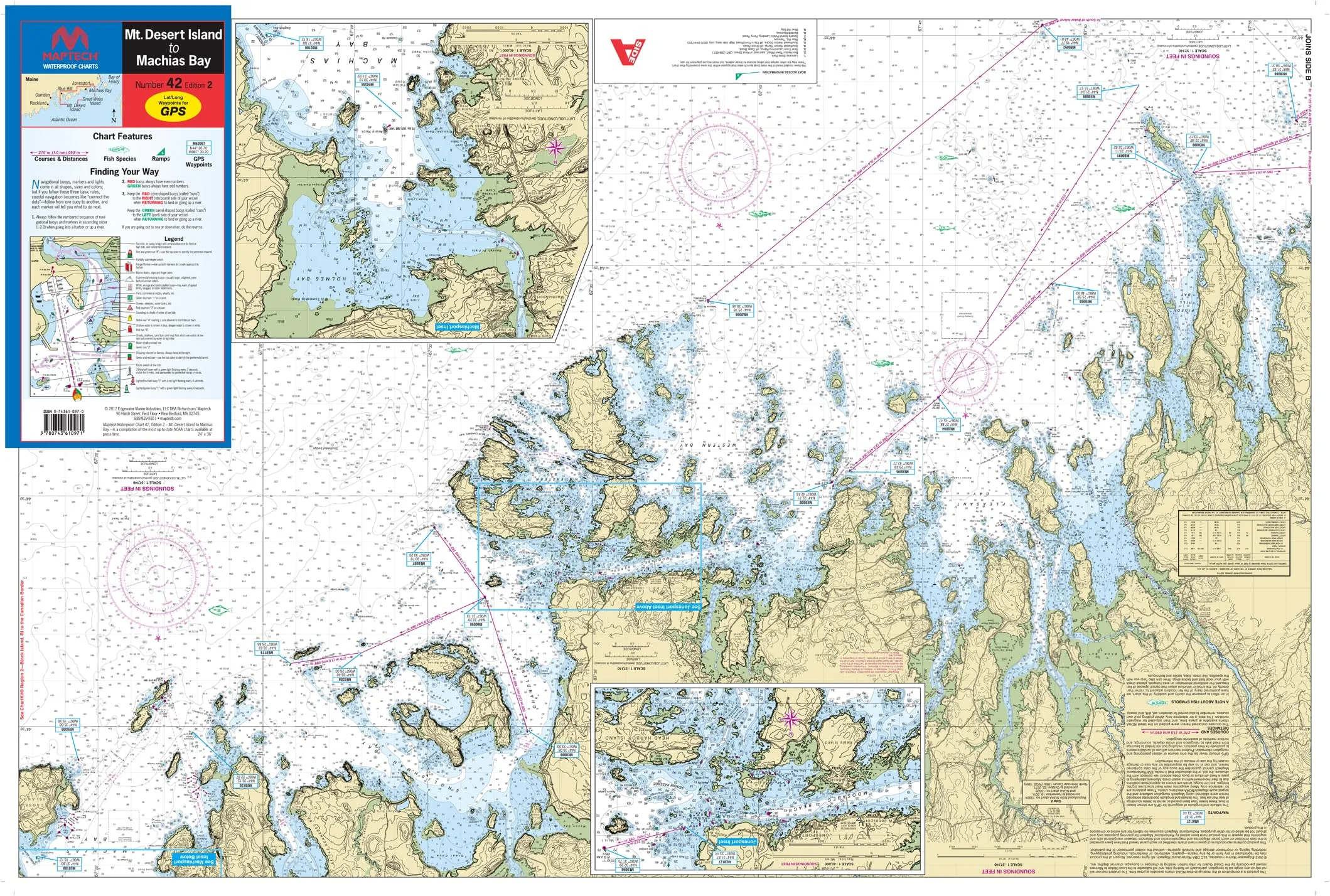
Mt. Desert Island to Machias Bay Waterproof Chart #42 2nd Ed – 24’x36′ – Detailed Navigation Guide
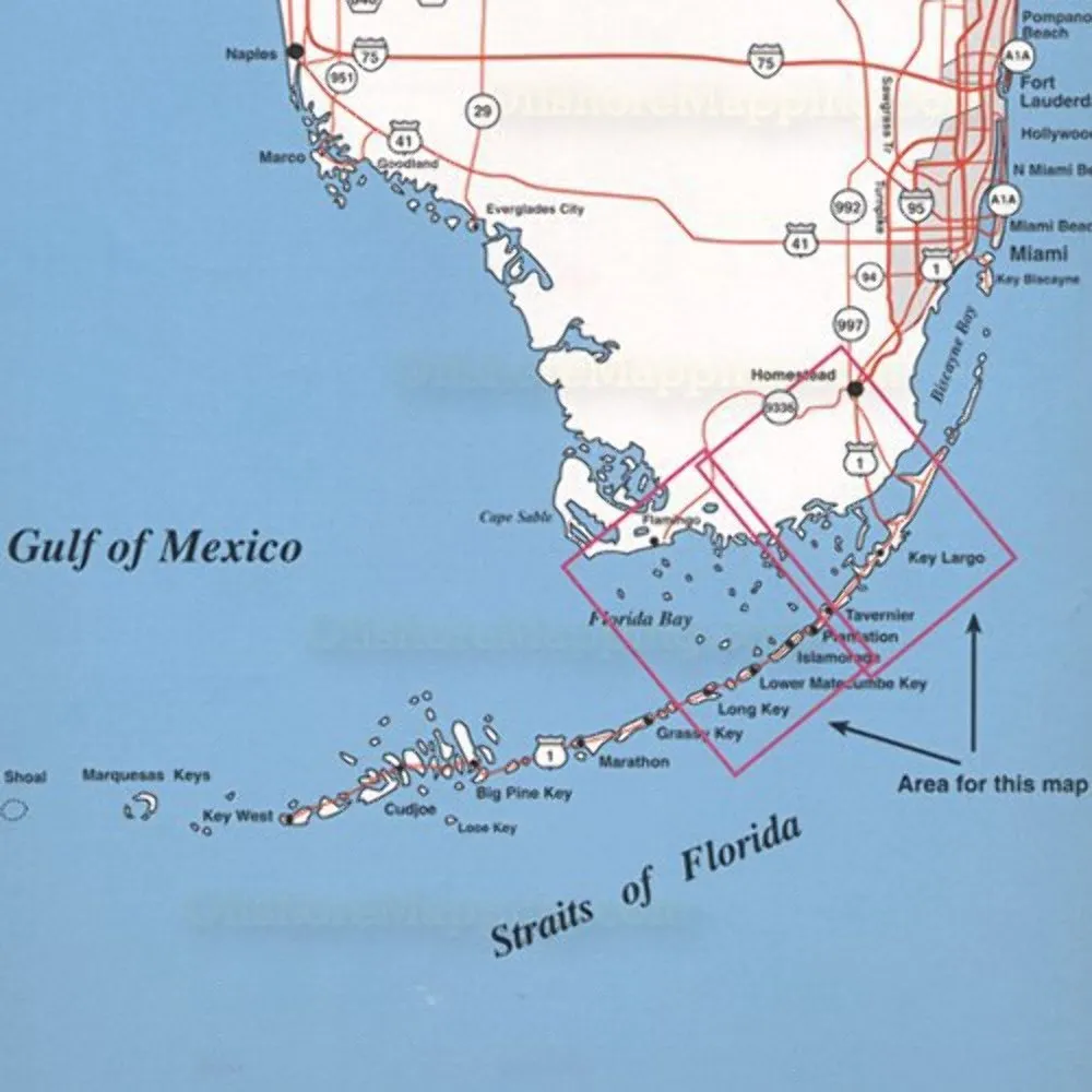
Topspot Map N207 Upper Keys Area – Waterproof Fishing & Diving Recreation Map, 32.77 x 17.02 cm
Overview
With Trout Derby, you can trust that you are investing in quality fishing equipment that enhances your experience on the water. Our commitment to excellence ensures that every product we offer meets the highest standards, providing you with the reliability and performance necessary for successful fishing excursions.
Our Services
Quick Links
Newsletter
Signup our newsletter to get update information, news & insight
Copyright © 2007-2024 All rights reserved.


Reviews
There are no reviews yet.