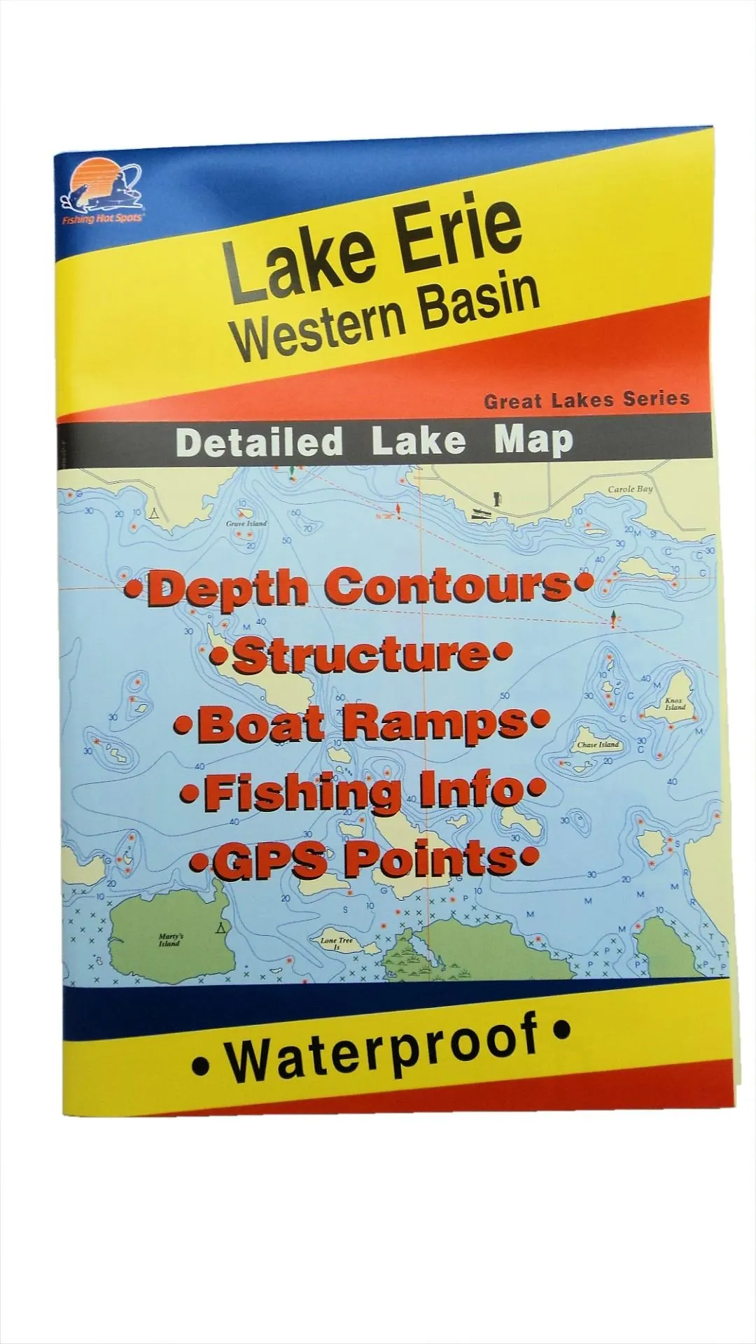
The Lake Erie Western Basin Map is an essential tool for any angler or boating enthusiast. This detailed map, part of the Great Lakes Series, provides a comprehensive guide to the fishing opportunities and underwater features of the Western Basin of Lake Erie. Whether you are planning a day of fishing or simply exploring the lake, this map is designed to meet your needs.
One of the standout features of this map is its waterproof construction. This means you can take it with you on the water without worrying about damage from splashes or rain. Additionally, it is compactly designed at 9’x6’x1/8” when folded, making it easy to fit in your tackle box or bucket, especially if you’re ice fishing.
Here’s a closer look at some of the key attributes of the Lake Erie Western Basin Map:
| Feature | Description |
|---|---|
| Waterproof | Durable material that withstands wet conditions, ideal for outdoor use. |
| GPS Points | Includes essential GPS coordinates for prime fishing locations. |
| Depth Contours | Detailed depth information to help locate fish habitats. |
| Fishing Info | Comprehensive fishing hotspots and structure details. |
| Compact Size | Conveniently folds to fit in tackle boxes or fishing buckets. |
This map not only enhances your fishing experience but also equips you with crucial information about the lake’s structure and accessible boat ramps. With the Lake Erie Western Basin Map, you are well-prepared to navigate and fish effectively in one of the Great Lakes’ most vibrant areas.
Whether you’re a seasoned angler or a beginner, this map will guide you to the best fishing spots and help you understand the underwater landscape, making every fishing trip more productive and enjoyable. Don’t miss out on the opportunity to explore Lake Erie like never before!


Reviews
There are no reviews yet.