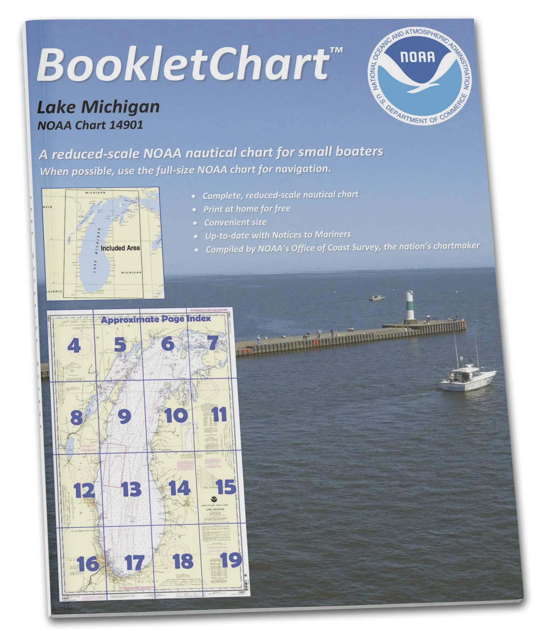
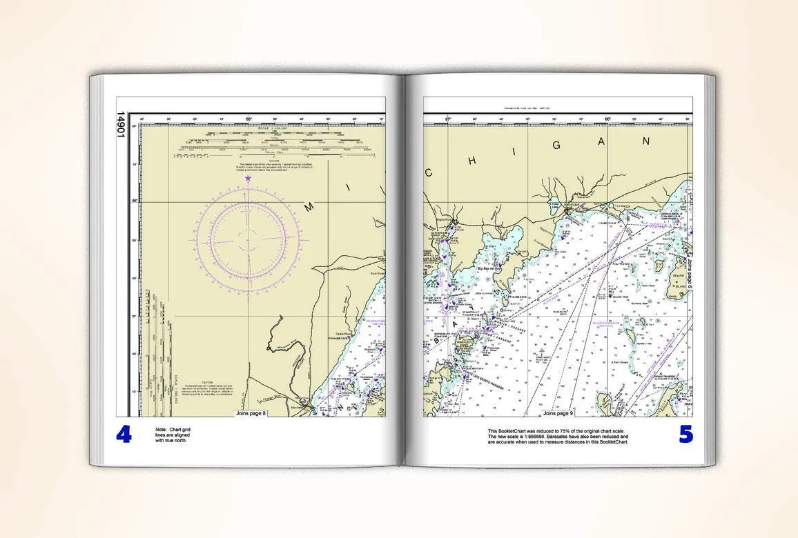
The Lake Michigan NOAA Chart 14901 Booklet is an innovative solution for recreational boaters seeking reliable navigation tools. This chart is designed to assist you in locating yourself on the water while offering a compact format that is easy to manage, particularly on smaller vessels. With its handy 8.5 x 11 inch size, this booklet provides a practical alternative to larger, full-scale charts that may be unwieldy to handle while at sea.
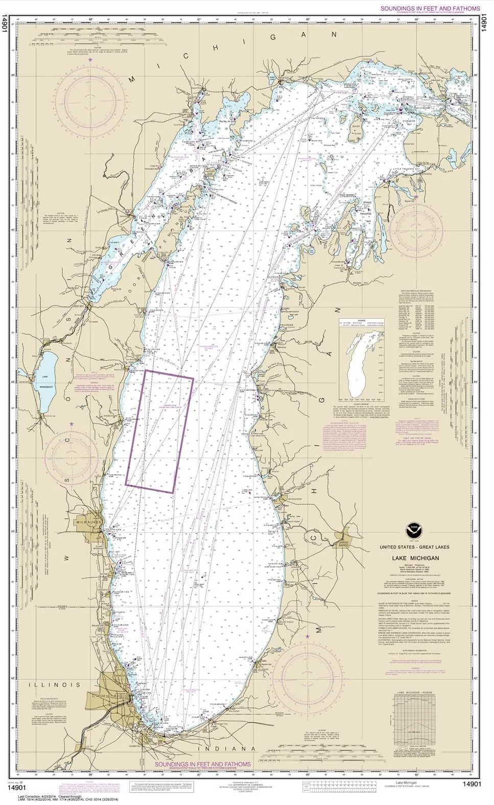
Each BookletChart is an exact replica of the corresponding full-scale NOAA Chart 14901, ensuring that all critical information is maintained even in a reduced format. It is printed on high-quality durable paper, featuring a stapled (saddle-stitched) binding that allows for easy flipping through the pages. The page count varies depending on the specific chart, but you can trust that the information provided is both accurate and up-to-date.
When you place an order for this BookletChart, it is printed on demand, meaning you receive the latest updates available at the time of printing. This ensures that your navigation tools are always current, incorporating corrections published in the U.S. Coast Guard Local Notice to Mariners, the National Geospatial Intelligence Agency Weekly Notice to Mariners, and, where applicable, the Canadian Coast Guard Notice to Mariners.
Initially developed as part of a Coast Survey’s experimental program, the BookletCharts have proven to be indispensable for recreational boaters. Their popularity has led to their transition from experimental products into official production, with nearly 1,000 newly updated BookletCharts now available. Collectively, these charts cover an extensive 95,000 miles of U.S. coastline and the Great Lakes, making them an essential tool for maritime navigation.
NOAA’s nautical charts are crucial for protecting lives and property on the water. However, many boaters often forego using nautical charts, relying instead on local knowledge or memory, which can pose significant risks. Seafloors shift, shorelines erode, and new hazards to navigation may emerge. The BookletCharts are specifically designed to inform boaters of these developments, thus contributing to safer voyages, whether navigating around the bay or heading down the coast.
To further enhance your navigation experience, the bar scales in this BookletChart have also been reduced but remain accurate for measuring distances. This attention to detail ensures that even at a smaller scale, you can confidently assess your surroundings and plan your routes effectively.
In summary, the Lake Michigan NOAA Chart 14901 Booklet stands out as a vital resource for recreational boaters. Its compact design makes it easy to handle, while its comprehensive information ensures that you are well-informed about the waters you are navigating. By choosing this BookletChart, you are investing in your safety and the success of your boating adventures.
| Features | Benefits |
| Compact 8.5 x 11 inch size | Easy to manage on small vessels |
| Printed on durable paper | Long-lasting and reliable |
| Updated with current corrections | Ensures safe navigation |
| Exact replica of full-scale chart | Comprehensive information available |



Reviews
There are no reviews yet.