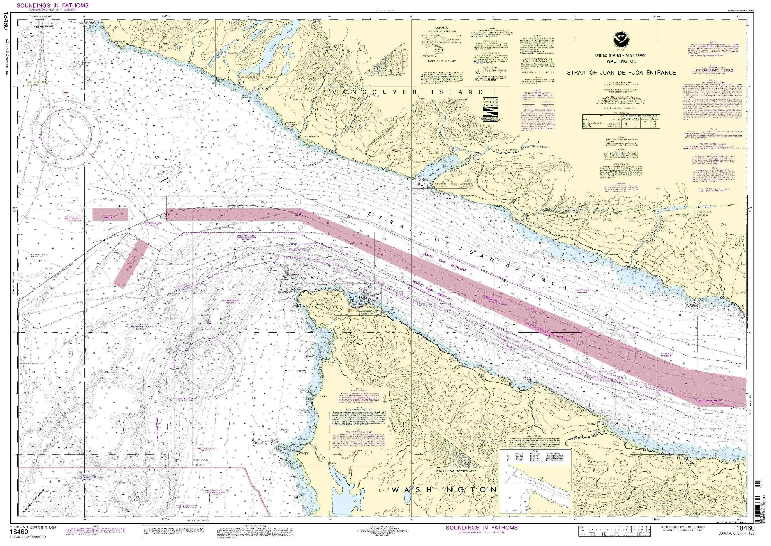
Introducing the Lake Ontario Nautical Chart, a must-have for any boating enthusiast or commercial vessel operator. This high-quality chart measures 29.5 x 41.1 inches and is designed to withstand the elements. Printed on waterproof and tear-resistant material, it ensures that you have a reliable navigation tool no matter the conditions.
What sets this chart apart is its certification by NOAA (National Oceanic and Atmospheric Administration). This means it has been printed using the most recent NOAA data, ensuring that you have access to the latest navigational information. Furthermore, it is certified by the U.S. Coast Guard, making it compliant with all carriage requirements for commercial vessels.
The Lake Ontario chart is not only functional but also prepared to be display quality. It arrives rolled, not folded, which helps to maintain its pristine condition. This is especially important for sailors who value the integrity of their navigation tools.
The chart is printed by Paradise Cay Publications, known for their proprietary methods and materials that enhance the durability and usability of nautical charts. Moreover, Ruby & Rudy’s Books is the exclusive seller of this brand, ensuring that you receive a genuine product. Be cautious of other sellers, as they may not be authorized and could be offering inferior products that do not meet the high standards set by NOAA.
Only charts printed by NOAA Certified Chart Agents are authorized to carry the NOAA logo. This certification process involves a rigorous vetting process, where agents submit samples to NOAA for evaluation. The charts must meet stringent requirements in terms of scale, print quality, and water resistance, ensuring they withstand the rigors of plotting and navigation.
When you purchase the Lake Ontario Waterproof Nautical Chart, you’re not just getting a piece of paper; you’re investing in a reliable and accurate tool that will enhance your boating experience. Whether you are navigating the waters of Lake Ontario for leisure or for commercial purposes, this chart will serve you well.
Explore our complete line of chart products, which includes PAPER CHARTS, WATERPROOF CHARTS, SMALL FORMAT CHARTS, BOOKLET CHARTS, and BOOK CHARTS. Each product is designed with the same commitment to quality and accuracy, ensuring that you have the best navigational tools at your disposal.
| Feature | Detail |
| Size | 29.5 x 41.1 inches |
| Material | Waterproof and tear-resistant |
| Certification | NOAA & U.S. Coast Guard approved |
| Packaging | Arrives rolled, not folded |
In conclusion, the Lake Ontario Waterproof Nautical Chart is an essential addition to your boating gear. Its quality, certification, and durability make it a standout choice for anyone who values accurate navigation on the water.


Reviews
There are no reviews yet.