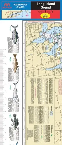
Discover the beauty and adventure of fishing in the Pamlico Sound with our expertly crafted laminated nautical navigation and fishing chart by Captain Segull’s Nautical Sportfishing Charts. This chart, designated as Chart # PS25, provides comprehensive coverage for anglers and navigators alike, showcasing the stunning waters off the coast of North Carolina.
Measuring an impressive 19.5 inches by 26.5 inches, this double-sided chart is designed for durability and ease of use in any fishing condition. The first side of the chart covers the western portion of Pamlico Sound, including key areas such as the Fuse River and Pungo River. You will find essential information about fishing areas, wrecks, reefs, and local names, all meticulously detailed to enhance your fishing experience.
On the reverse side, the chart extends to the eastern portion of Pamlico Sound, showcasing regions from Cape Hatteras north to Rodanthe, NC. This comprehensive coverage allows you to explore a variety of fishing spots, whether you are a seasoned angler or just starting your fishing journey.
One of the standout features of this nautical chart is its precise GPS markings, which extend out to the thousandths of a minute. This level of detail ensures that you can navigate with confidence and accuracy while locating those prized fishing spots. The laminated surface protects the chart from the elements, making it resistant to water damage, tearing, and wear, ensuring longevity for many fishing trips to come.
Additionally, this fishing chart is not only practical but also user-friendly. The clear graphics and well-thought-out layout allow for quick reference while out on the water. You can easily identify key locations and fishing areas, making it easier to plan your outings effectively. Whether you are targeting specific species or exploring new locations, this chart provides the guidance you need.
In summary, the Laminated Nautical Fishing Chart for Pamlico Sound is an essential tool for anyone looking to enhance their fishing experience in North Carolina’s beautiful waters. With its detailed maps, durable design, and comprehensive information, this chart is a must-have item for both novice and experienced anglers. So gear up, grab your fishing rods, and let this chart guide you to your next great catch!
| Feature | Details |
| Chart Size | 19.5′ x 26.5′ |
| Lamination | Durable, waterproof, and tear-resistant |
| Coverage Area | Western and Eastern Pamlico Sound |
| GPS Detail | Out to the thousandths of a minute |
| Chart Type | Double-sided fishing chart |


Reviews
There are no reviews yet.