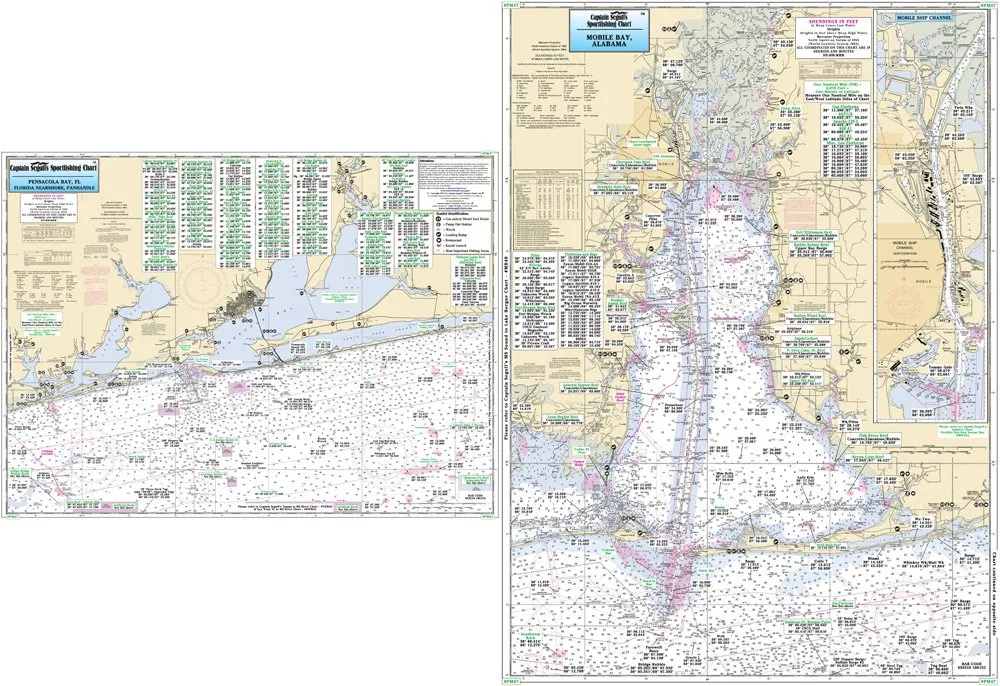
The Pensacola, FL & Mobile Bay, AL Laminated Nautical Navigation & Fishing Chart by Captain Segull’s Nautical Sportfishing Charts is an essential tool for any avid fisherman or nautical enthusiast. This chart, designated as Chart # PM47, provides a detailed overview of the fishing and navigation areas along the Gulf Coast.
Measuring 19.5 inches by 26.5 inches, this durable chart is double-sided and laminated, ensuring it withstands the wear and tear of outdoor use. It is designed for nearshore fishing, covering areas approximately 20 to 30 miles off the shore. The chart is organized into two sides, each offering unique and valuable information.
| Side A | This side features the area from Wynne Haven Beach west to Romar Beach. It includes important locations such as Santa Rosa Sound, Pensacola Bay, and Perdido Bay. |
| Side B | Here, you’ll find coverage from Romar Beach west to Bayou La Batre, including all of Mobile Bay and an inset detailing the northern end of the Mobile Ship Channel. |
What sets this chart apart is its comprehensive detail. It displays various fishing areas, wrecks, reefs, local names, and amenities, all plotted in GPS coordinates extending to the thousandths of a minute. Whether you’re a seasoned angler or a novice, having precise navigation tools is crucial for a successful fishing trip.
Additionally, the chart’s laminated finish not only enhances its durability but also allows for easy handling in wet conditions. If you’re looking for a reliable resource that combines practicality with detailed nautical information, the Captain Segull’s Nautical Sportfishing Chart is an excellent choice.
Investing in this chart will enhance your fishing experience, providing you with the knowledge needed to navigate the waters confidently. With its clear visuals and detailed information, you will have the tools necessary to discover new fishing spots and enjoy the beauty of the Pensacola and Mobile Bay areas.


Reviews
There are no reviews yet.