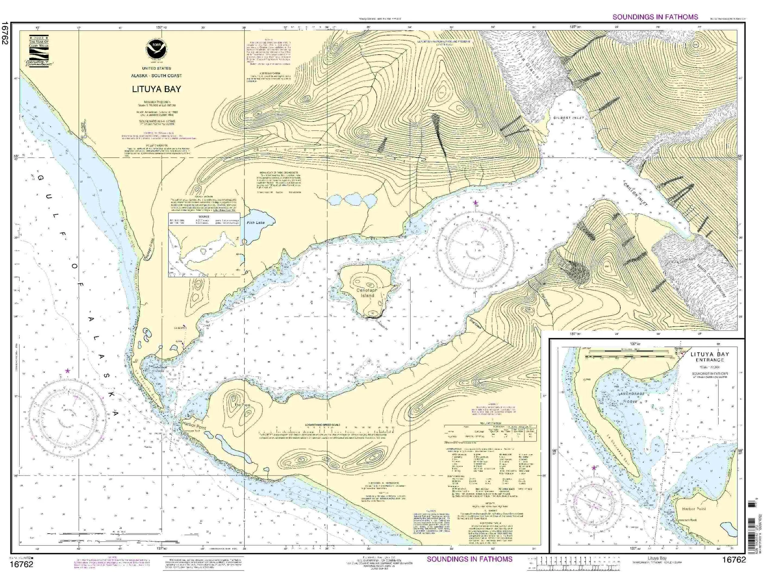
Welcome to the essential guide for the Lituya Bay Nautical Chart, a critical resource for mariners navigating the stunning waters of Lituya Bay. This chart is produced by OceanGrafix in collaboration with the National Oceanic and Atmospheric Administration (NOAA). It is specifically designed to provide the most accurate and up-to-date information available for both commercial and recreational mariners.
One of the standout features of this chart is its ‘on-demand’ printing capability. This means that every chart is printed only when ordered, ensuring that users receive the most current data available. The latest updates, known as Notices to Mariners (NTM), are applied at the time of printing, guaranteeing that every mariner has access to the most relevant navigational information.
The NOAA-approved Lituya Bay Nautical Chart meets the rigorous standards laid out in the International Convention for the Safety of Life at Sea (SOLAS). Specifically, it adheres to SOLAS Chapter V Regulation 19.2.1.4, which outlines the requirements for nautical charts and publications on board ships. This means that whether you are a seasoned sailor or a recreational boater, you can trust this chart to provide reliable guidance.
| Feature | Details |
| Brand | NOAA |
| Size | Standard Nautical Chart |
| Printing | On-Demand with Latest NTM Updates |
| Approval | U.S. Coast Guard Approved |
| SOLAS Compliance | Meets SOLAS Chapter V Requirements |
In conclusion, if you are looking for a reliable nautical chart for navigating Lituya Bay, look no further than this NOAA-approved chart from OceanGrafix. It not only meets all required standards for safety and accuracy but also provides mariners with peace of mind. Whether for commercial shipping or recreational sailing, this chart is an invaluable tool for anyone venturing into the waters of Lituya Bay.


Reviews
There are no reviews yet.