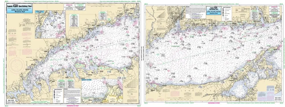
Introducing the Long Island Sound Laminated Nautical Navigation & Fishing Chart, expertly crafted by Captain Segull’s Nautical Sportfishing Charts. This high-quality fishing chart, designated as Chart # LI15, measures an impressive 19.5 inches by 26.5 inches, making it the perfect companion for any fishing enthusiast aiming to navigate the rich waters of Long Island Sound.
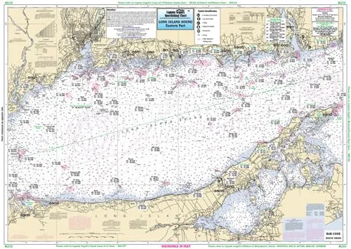
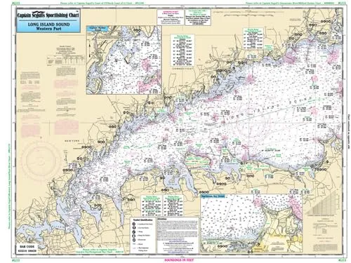
One of the standout features of this chart is its double-sided design. Side A covers a crucial area from Whitestone, NY, extending east to the Housatonic River or Stony Brook, NY. This section provides detailed insights into Captain Harbor, Norwalk Harbor, and Smithtown Bay. Meanwhile, Side B takes you from the Housatonic River eastward to Orient Point, NY, or South Lyme, CT. This extensive coverage ensures you have access to vital information across a significant portion of the Sound.
The Long Island Sound chart is not just about navigation; it serves as a comprehensive fishing guide. It clearly delineates various fishing areas, wrecks, and reefs that are essential for both novice and experienced anglers. Additionally, it includes local names and amenities, making it easier for you to familiarize yourself with the surroundings. The chart also incorporates GPS coordinates, offering precise locations out to the thousandths of a minute, enhancing your fishing experience with accurate navigation.
Crafted with durability in mind, the laminated surface of the chart is designed to withstand the rigors of outdoor use. Whether you’re braving the elements on a boat or simply want to keep your chart safe from water splashes, the laminated finish ensures longevity and reliability. This feature is particularly crucial for those who frequently venture into the waters, as it keeps the chart intact and usable under various conditions.
The Long Island Sound Laminated Fishing Chart is a must-have for anyone passionate about fishing in this region. It not only provides essential navigational aids but also enriches your fishing experience with detailed insights into the best spots to cast your line. With its combination of practical information and easy-to-read design, this chart stands out as an invaluable resource for both recreational and serious anglers alike.
| Feature | Description |
|---|---|
| Size | 19.5′ x 26.5′ |
| Chart Type | Double-Sided Laminated |
| Coverage | Whitestone, NY to South Lyme, CT |
| Features | Fishing Areas, Wrecks, Reefs, GPS Coordinates |
| Source Charts | NOAA charts 12354 & 12363 |
In conclusion, the Long Island Sound Laminated Nautical Navigation & Fishing Chart is more than just a piece of paper; it is your gateway to exploring and understanding the vibrant fishing ecosystem that Long Island Sound has to offer. Equip yourself with this chart, and you’ll be well on your way to a successful fishing adventure.



Reviews
There are no reviews yet.