Explore the waters of the Middle Chesapeake Bay with our expertly crafted laminated fishing chart by Captain Segull’s Nautical Sportfishing Charts. This chart, designated as Chart # CBM119, is designed specifically for avid fishermen and navigators who seek detailed and precise information for optimal fishing experiences.
The chart measures a convenient 19.5 inches by 26.5 inches, making it the perfect size for easy handling and visibility on your boat or at your fishing spot. Its laminated design ensures durability and protection against the elements, allowing you to refer to it in various weather conditions without fear of wear and tear.
| Features | Details |
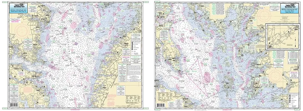
| Coverage Area | From Cove Point, MD to Smith Point, VA and Pocomoke River to Wolf Trap, VA |
| GPS Accuracy | Shows fishing areas, wrecks, reefs, local names, and amenities in GPS down to the thousandths of a minute |
| NOAA Charts Used | 12225 & 12230 |
| Material | Laminated finish for durability |
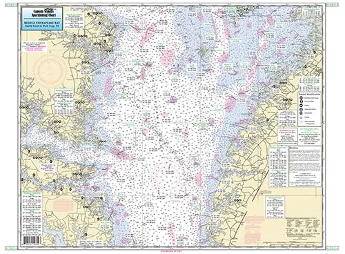
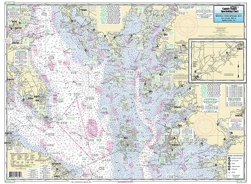
Side A of the chart provides a comprehensive overview of the inshore fishing areas from Cove Point to Smith Point, giving you vital insights into the best fishing spots, potential wrecks to explore, and local reefs that attract a variety of fish species. Meanwhile, Side B continues the navigation from Smith Point to Wolf Trap, VA, ensuring that you have a complete picture of the fishing landscape.
This chart not only serves as a navigation tool but also as a valuable resource for understanding the local ecosystems and fishing opportunities. With detailed markings for local names and amenities, you can plan your fishing trips with confidence, knowing exactly where to go and what to expect.
Whether you’re a seasoned angler or a novice looking to learn more about fishing in Chesapeake Bay, this laminated nautical chart will enhance your fishing adventures. The clarity of the information presented, combined with its practical size and durability, makes it an essential addition to your fishing gear.
In conclusion, the Middle Chesapeake Bay laminated fishing chart by Captain Segull is a must-have for anyone serious about fishing in this rich and diverse area. Its detailed features, GPS accuracy, and user-friendly design make it the ultimate companion for your fishing expeditions.



Reviews
There are no reviews yet.