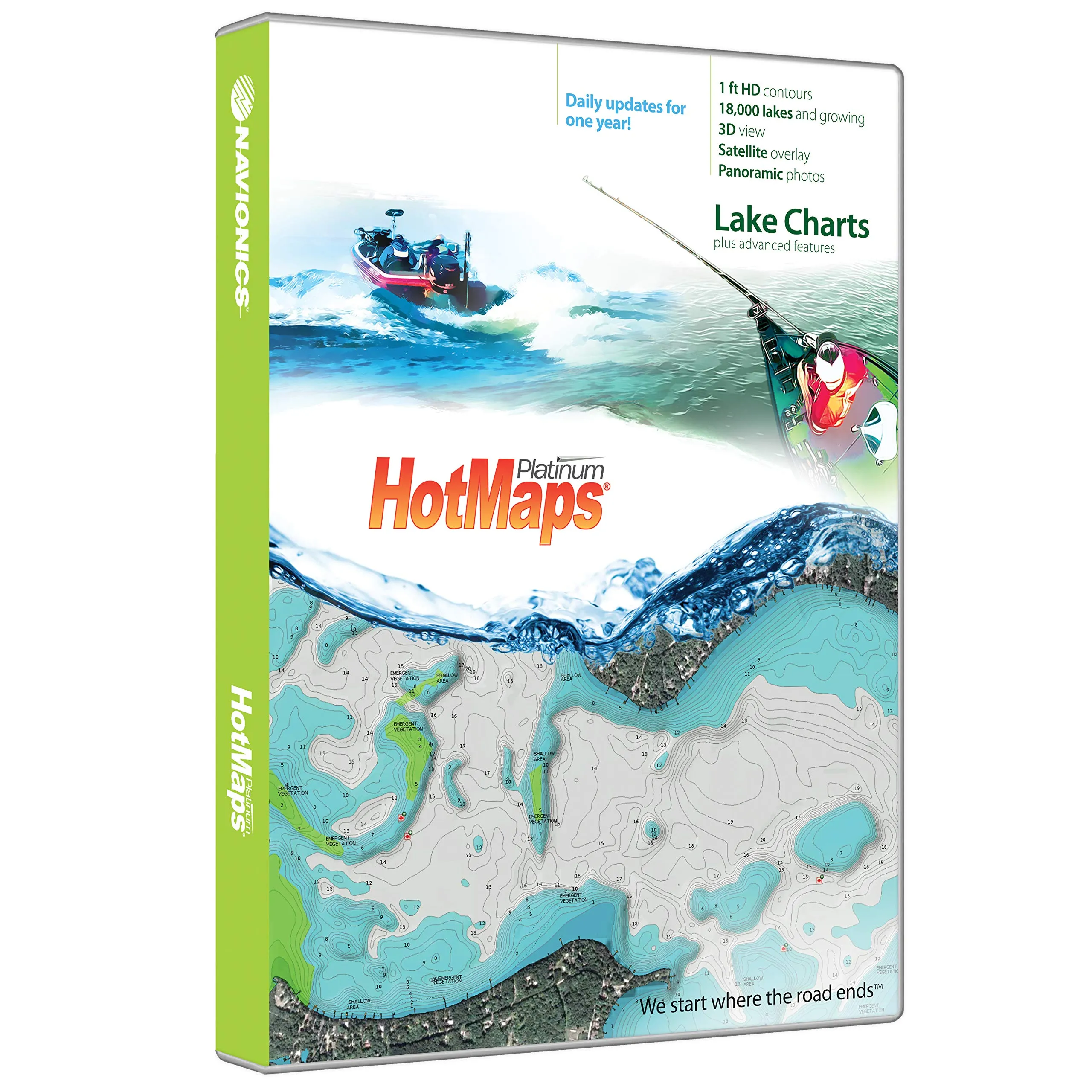
The Navionics HotMaps Platinum SD South is an essential tool for anglers and boating enthusiasts alike. Designed to enhance your fishing experience, this product offers a wide range of features that help you pinpoint the best fishing spots across Southern regions. Whether you’re navigating the lakes of Alabama, Florida, or Texas, this comprehensive mapping solution provides you with the detailed information you need to succeed.
With coverage that includes states such as AL, AR, FL, GA, KS, LA, MO, MS, NE, NM, OK, and TX, you will have access to the most comprehensive lake charts available. The HotMaps Platinum SD South comes in MicroSD/SD format, making it easy to use with your compatible devices.
One of the standout features of this product is the advanced Nautical Chart, which is complemented by the innovative SonarChart™. This high-definition bathymetry map offers one-foot contours, displayed in both 2D and 3D views. This level of detail helps you to visualize the underwater landscape, making it easier to locate structures, reefs, drop-offs, and vegetation that attract fish.
In addition to the detailed charts, registering online provides you with access to Community Edits and daily updates for one year. This ensures that you always have the latest information at your fingertips. The exclusive high-resolution satellite overlay and panoramic pictures are available on the most popular charts, giving you a clearer perspective of the areas you intend to explore.
Here’s a quick overview of the features included in the Navionics HotMaps Platinum SD South:
| Feature | Description |
| One Foot Contours | Detailed bathymetric maps with one-foot contour lines for precise navigation. |
| Daily Updates | Access to continuous updates that enhance map accuracy and detail. |
| 3D View | Visualize underwater landscapes in 3D, making navigation easier. |
| Satellite Overlay | High-resolution satellite imagery for a better understanding of your surroundings. |
| Panoramic Pictures | View panoramic images of popular charts to familiarize yourself with the area. |
| SonarChart™ | Access to sonar logs you collect, continuously updated for accuracy. |
| Boat Ramps & Marinas | Locate essential amenities for boaters easily. |
| Safety Depth Contours | Ensure safe navigation with depth contours and navaids. |
Utilizing the HotMaps Platinum SD South, you can enjoy preloaded content and easily download the latest SonarChart™ using your plotter or mobile device. This product is crafted for those who are serious about fishing and boating, providing the necessary tools to enhance your experience on the water.
In conclusion, the Navionics HotMaps Platinum SD South is much more than just a map; it’s an indispensable companion for your outdoor adventures. With its extensive features and user-friendly interface, you can focus on what really matters: catching fish and enjoying your time on the water.

Reviews
There are no reviews yet.