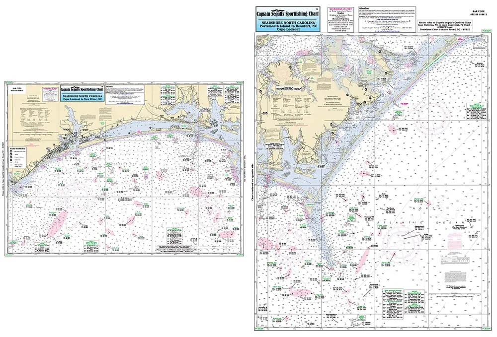
Discover the ultimate fishing experience with the Nearshore Cape Lookout Fishing Chart, created by Captain Segull’s Nautical Sportfishing Charts. This laminated nautical navigation and fishing chart serves as an essential tool for all fishing enthusiasts venturing off the beautiful coast of North Carolina.
The chart measures an impressive 19.5 inches by 26.5 inches, making it the perfect size for easy handling while providing detailed information. It is designed for use in the nearshore waters, specifically 20 to 30 miles off the North Carolina coast. The chart features two sides: Side A covers Portsmouth Island to Beaufort, NC (Cape Lookout), while Side B details the area from Cape Lookout to New River Inlet, NC.
What sets this chart apart are the meticulously marked fishing areas, wrecks, reefs, and local names. Each detail has been carefully crafted to enhance your fishing experience, allowing you to find the best spots with ease. Additionally, the chart provides GPS coordinates accurate to the thousandths of a minute, ensuring you have precise navigation assistance as you explore the waters.
| Feature | Description |
| Brand | Captain Segull’s Nautical Sportfishing Charts |
| Size | 19.5′ x 26.5′ |
| Material | Laminated for durability and water resistance |
| Coverage Area | 20 to 30 miles offshore, from Portsmouth Island to New River Inlet |
| GPS Accuracy | Coordinates to the thousandths of a minute |
This chart is not just a map; it’s an invitation to discover the rich marine life and fishing opportunities that North Carolina has to offer. Whether you’re an experienced angler or a beginner, the Nearshore Cape Lookout Fishing Chart will provide you with the insights needed to make your fishing trips successful.
By using this chart, you can easily navigate the waters and find the best fishing locations, enhancing your overall experience. Don’t miss out on the chance to own a chart that combines functionality with quality.


Reviews
There are no reviews yet.