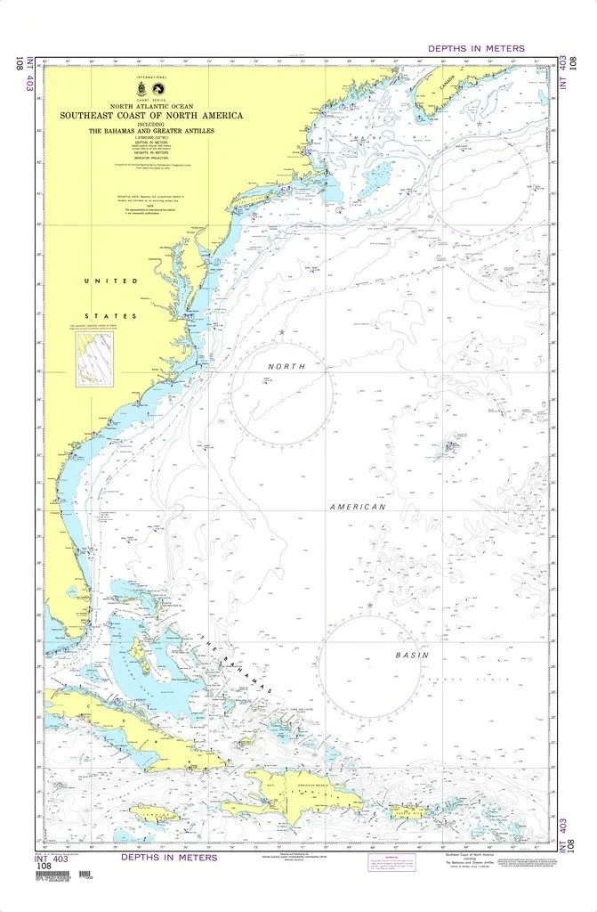
Welcome to an essential navigational tool for mariners and enthusiasts alike—the NGA Chart 108. This chart represents the Southeast Coast of North America, including the beautiful Bahamas and the Greater Antilles. Designed meticulously by the National Geospatial-Intelligence Agency (NGA), this nautical chart ensures that you have access to reliable and accurate information for your maritime adventures.
What makes the NGA Chart 108 stand out is its meticulous printing on demand, ensuring that you receive the freshest copy available. Moreover, it is printed on water-resistant paper, making it suitable for various weather conditions encountered at sea. This durability is crucial for maintaining the chart’s integrity, especially during long voyages.
As you navigate through the waters, it is important to note that while this chart is comprehensive, it does not include the latest notice to mariners (NTM) corrections. Mariners using this chart must apply these necessary corrections to ensure accuracy and safety. The responsibility of keeping the chart updated lies with the user, as outlined in the SOLAS Chapter V Regulation 19.2.1.12, which mandates that commercial vessels adhere to strict navigational standards.
The NGA Chart 108 is not just a piece of paper; it is a gateway to safe and enjoyable navigation. With the increasing complexity of international waters, having accurate charts is more critical than ever. Whether you are a seasoned mariner or a recreational boater, this chart provides the essential details needed for safe navigation.
| Features | Benefits |
| Printed on demand | Receive the latest version of the chart whenever needed |
| Water-resistant paper | Durable and suitable for rough marine environments |
| Meets SOLAS standards | Ensures compliance with international safety regulations |
In conclusion, the NGA Chart 108 is a vital resource for anyone navigating the Southeast Coast of North America and surrounding waters. Its water-resistant features, print-on-demand availability, and adherence to international standards make it an indispensable tool in your maritime toolkit.


Reviews
There are no reviews yet.