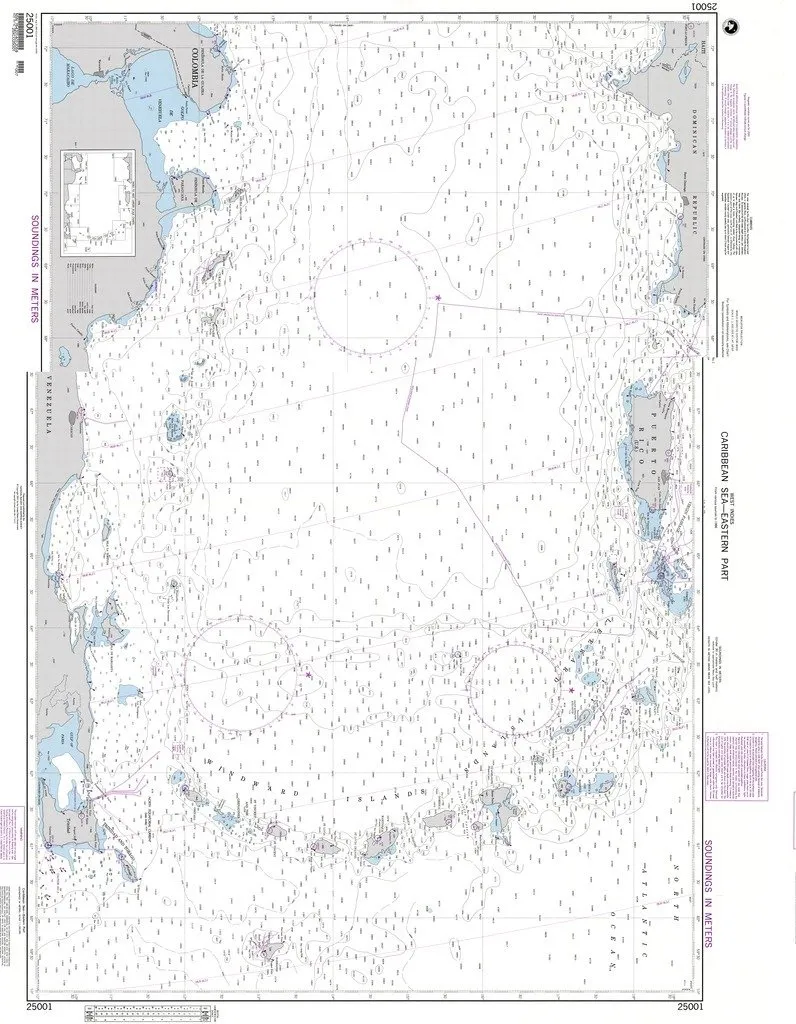
Introducing the NGA Chart 25001, a meticulously crafted nautical chart designed specifically for mariners navigating the eastern part of the Caribbean Sea. This chart, produced by the esteemed National Geospatial-Intelligence Agency (NGA) in collaboration with OceanGrafix, stands out as a reliable resource for both commercial and recreational sailors.
One of the key features of the NGA Chart 25001 is its printing on demand, ensuring that you receive a product that is freshly printed and up-to-date. Furthermore, it is printed on water-resistant paper, which makes it ideal for maritime conditions where moisture and splashes are a concern. This durability enhances the longevity of the chart, allowing mariners to rely on it during their voyages.
It’s important to note that while the NGA Chart 25001 provides accurate and essential navigation details, it does not include the latest notice to mariner (NTM) corrections. As such, it is the mariner’s responsibility to apply the necessary chart corrections to maintain the chart’s accuracy. By adhering to this guideline, mariners can ensure their safety and compliance with the Safety of Life at Sea (SOLAS) regulations.
This chart meets both U.S. and international carriage requirements for commercial vessels as defined in SOLAS Chapter V Regulation 19.2.1.364. This compliance makes it a trustworthy choice for those who navigate these vital waters, ensuring that your navigation aids are not only reliable but also legally compliant.
| Feature | Details |
| Brand | NGA |
| Size | Standard Nautical Chart Size |
| Material | Water Resistant Paper |
| Print Type | Printed on Demand |
| Compliance | SOLAS Chapter V Regulation 19.2.1.364 |
When you choose the NGA Chart 25001, you are not just selecting a nautical chart; you are investing in a tool that enhances your maritime safety and navigational accuracy. Whether you are a seasoned navigator or a novice sailor, this chart is designed to meet your needs and exceed your expectations.
In summary, the NGA Chart 25001 is a vital resource for anyone venturing into the eastern Caribbean Sea. Its high-quality printing, water-resistant material, and adherence to safety regulations make it an indispensable part of your navigation toolkit. Equip yourself with this reliable chart, and sail with confidence knowing you have the best support for your maritime journey.


Reviews
There are no reviews yet.