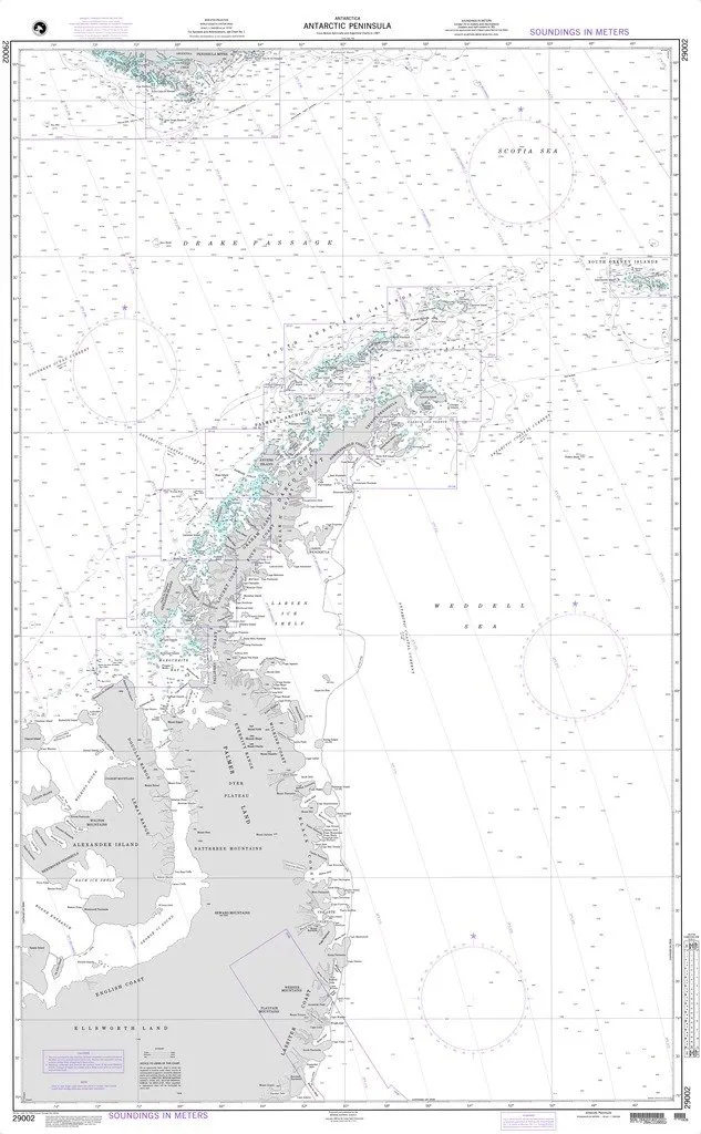
Introducing the NGA Chart 29002, a meticulously crafted nautical chart covering the Antarctic Peninsula. This chart has been developed by the National Geospatial-Intelligence Agency (NGA) in collaboration with OceanGrafix, ensuring that both commercial and recreational mariners have access to high-quality nautical charting solutions for international waters.
One of the standout features of the NGA Chart 29002 is its water-resistant paper, providing durability against the elements. This characteristic is particularly important for mariners who may encounter varying weather conditions while navigating. The chart is printed on demand, which means it is produced specifically when ordered, ensuring that you receive the most up-to-date chart available.
The NGA Chart 29002 adheres to the latest edition standards, meeting U.S. and international carriage requirements as defined in SOLAS Chapter V Regulation 19.2.1.585. This compliance is crucial for ensuring that all vessels are equipped with the necessary navigational aids to maintain safety at sea.
It’s important to note that while this chart is printed on demand, it does not include the latest Notice to Mariners (NTM) corrections. Therefore, it becomes the mariner’s responsibility to apply these corrections to ensure the accuracy of the chart. Staying updated with the latest NTM is essential for safe navigation, as it provides critical information about any changes to navigational aids, underwater hazards, or other important data.
| Chart Title: | NGA Chart 29002: Antarctic Peninsula |
| Material: | Water-resistant paper |
| Printing: | Printed on demand |
| Compliance: | Meets SOLAS requirements for commercial vessels |
Whether you are a seasoned mariner or a recreational boater, having reliable nautical charts like the NGA Chart 29002 is vital for safe and effective navigation. The Antarctic Peninsula is known for its stunning landscapes and challenging waters, making accurate navigation all the more important. This chart will serve as a reliable guide, providing essential information for your maritime adventures.
In conclusion, the NGA Chart 29002 is more than just a navigational tool; it is a commitment to safety and compliance for those who venture into the waters of the Antarctic Peninsula. Ensure you have the right charts on board, and always verify the latest NTM corrections to navigate with confidence. Order your NGA Chart 29002 today and embark on your next maritime journey with peace of mind!


Reviews
There are no reviews yet.