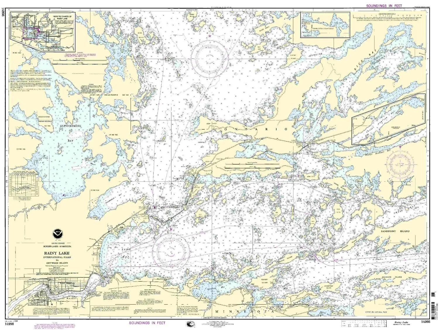
Welcome to the detailed overview of the NOAA 14998 Rainy Lake nautical chart, designed for both commercial and recreational mariners. This chart presents critical navigation information, ensuring safety and compliance on the water. It serves as a vital tool for those traversing the waters from International Falls to Dryweed Island.
OceanGrafix, in collaboration with the National Oceanic and Atmospheric Administration (NOAA), delivers the most current nautical charts available. The 14998 Rainy Lake chart is printed on demand, ensuring that every mariner receives the latest updates, including all Notice to Mariners (NTM) corrections. This feature is crucial for maintaining navigational accuracy.
Each chart meets the stringent requirements laid out in the Safety of Life at Sea (SOLAS) Convention, specifically Regulation V, which governs the carriage of navigation equipment by commercial vessels. The NOAA 14998 chart adheres to the guidelines defined in SOLAS Chapter V Regulation 19.2.1.19, making it suitable for various maritime operations.
Below is a summary table highlighting the key features of the NOAA 14998 Rainy Lake nautical chart:
| Feature | Details |
| Chart Type | NOAA Standard Nautical Chart |
| Coverage Area | International Falls to Dryweed Island |
| Printing Method | On Demand |
| Updates | All NTM corrections applied upon printing |
| Regulatory Compliance | SOLAS Chapter V Regulation 19.2.1.19 |
| Approval | U.S. Coast Guard Approved |
In addition to its regulatory compliance, the NOAA 14998 Rainy Lake chart is printed on high-quality materials, ensuring durability and clarity in various weather conditions. Mariners can rely on the visibility and detail of the chart even in challenging environments.
Furthermore, as part of the NOAA’s commitment to providing accurate and timely navigational information, the partnership with OceanGrafix ensures that users receive charts that are not only reliable but also up-to-date. This partnership is key to fostering safe navigation practices.
Mariners should keep in mind that the use of accurate nautical charts is essential for safe navigation. The NOAA 14998 chart is an indispensable resource, providing all necessary information for navigating the waters of Rainy Lake. Whether you are planning a fishing trip, a recreational outing, or conducting commercial operations, this chart is designed to meet your needs.
In conclusion, the NOAA 14998 Rainy Lake nautical chart is a vital tool for anyone navigating these waters. With its up-to-date information, compliance with international regulations, and high-quality printing, it stands as a trusted resource for mariners. Ensure your navigation is safe and informed with the NOAA 14998 chart.


Reviews
There are no reviews yet.