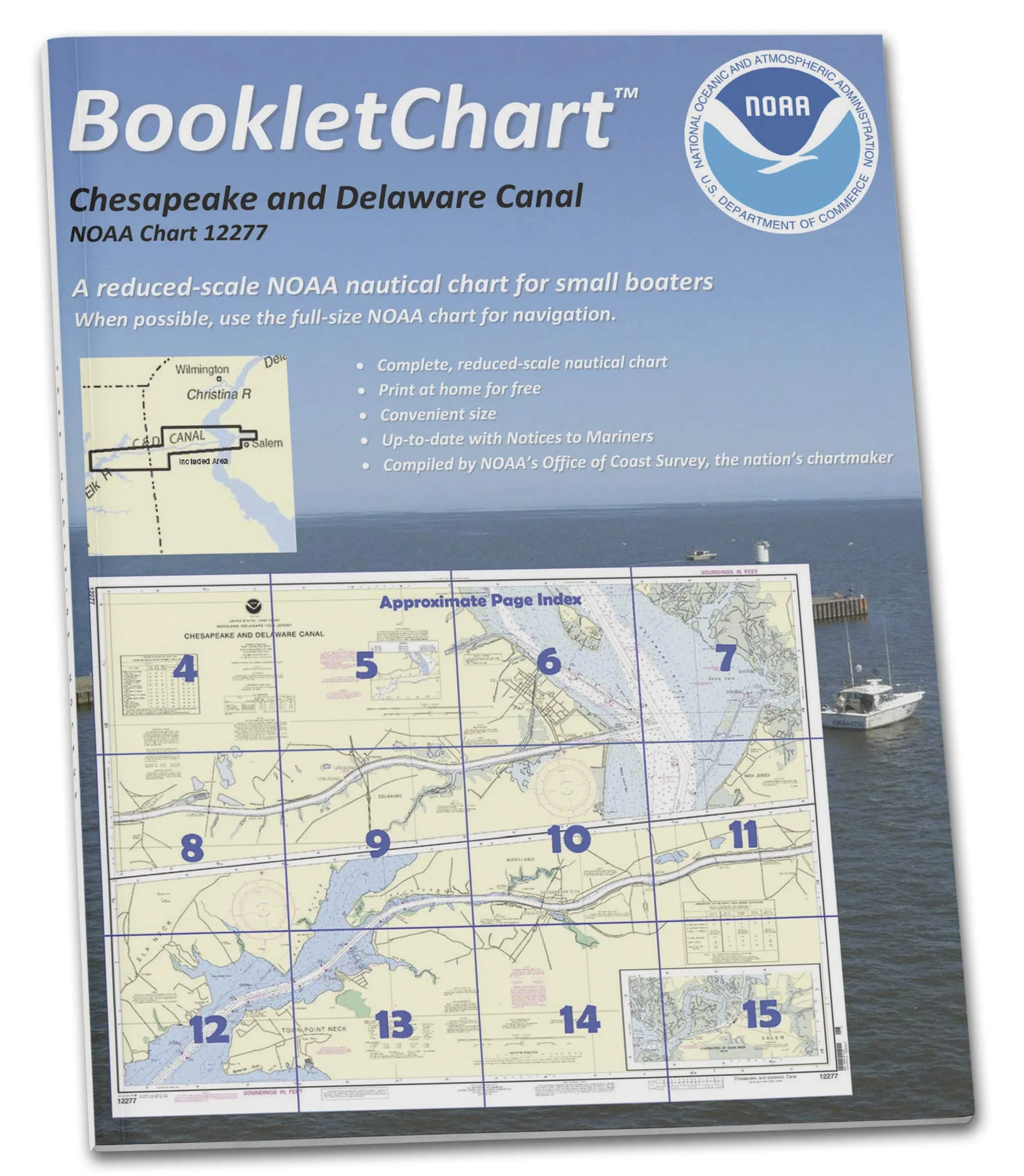
The NOAA BookletChart 12277 for the Chesapeake and Delaware Canal is an essential tool for recreational boaters looking to enhance their navigation experience. This booklet provides a compact and convenient alternative to large, full-scale nautical charts, which can be cumbersome to manage, especially when out on the water in smaller vessels.
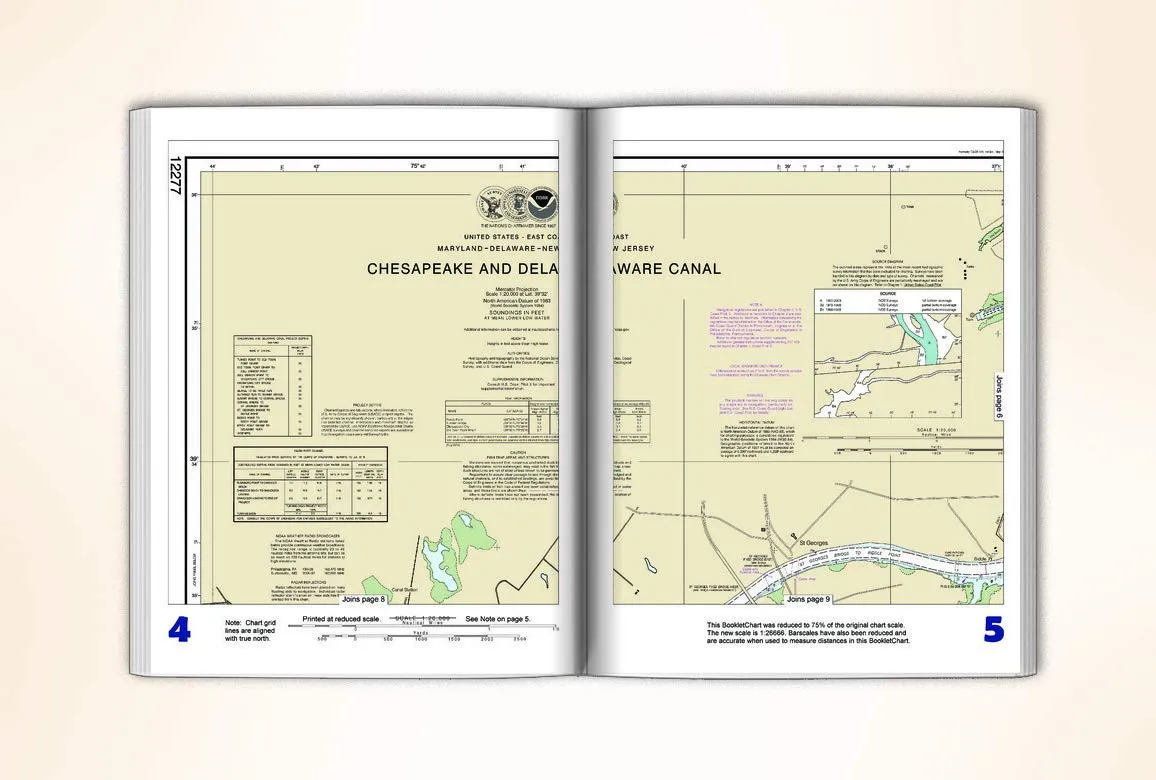
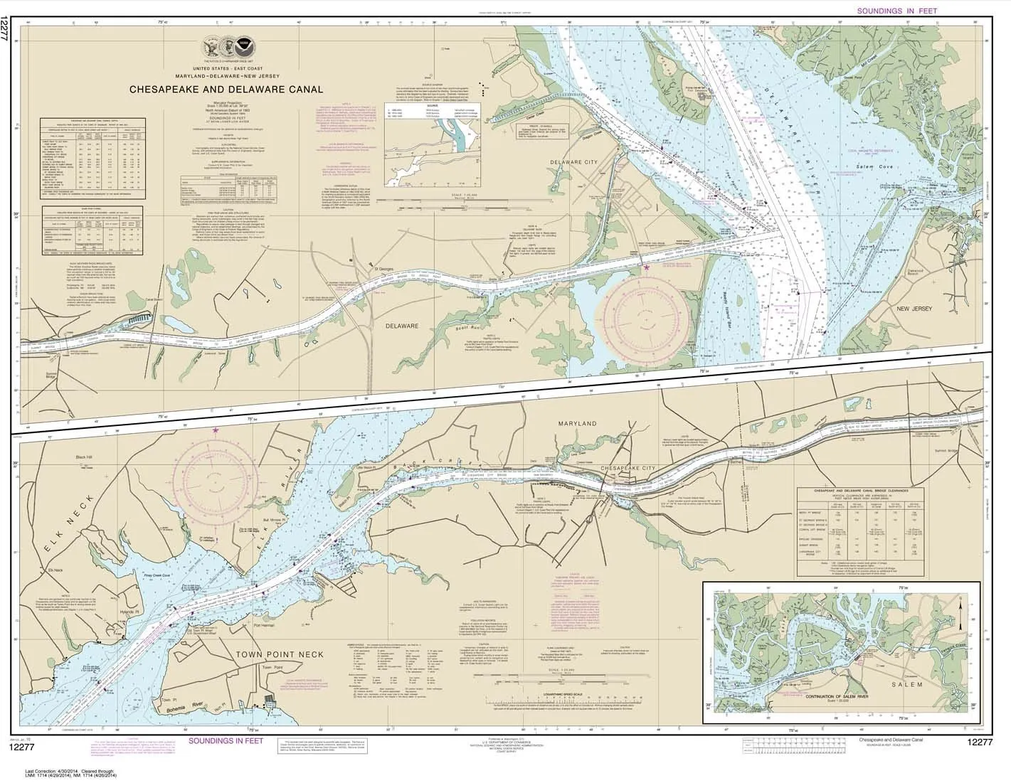
Printed on demand, each BookletChart is an exact replica of the full-scale NOAA Chart 12277, meticulously reduced in size for ease of use while retaining all critical navigational information. The handy 8.5 x 11 inch format, complete with stapled (saddle-stitched) binding, ensures that the chart is both durable and easy to handle.
One of the standout features of the BookletChart is that it includes all updates at the time of printing. This means that boaters can rely on the most current information available, as the chart has been updated with corrections published in the U.S. Coast Guard Local Notice to Mariners, the National Geospatial Intelligence Agency Weekly Notice to Mariners, and where applicable, the Canadian Coast Guard Notice to Mariners.
Although the BookletChart does not fulfill the chart carriage requirements for regulated commercial vessels under Titles 33 and 44 of the Code of Federal Regulations, it remains a valuable resource for recreational boaters. These charts originated as an experimental product from the Coast Survey, and due to their popularity and effectiveness, they have transitioned into official production.
With nearly 1,000 newly updated BookletCharts covering an impressive 95,000 miles of U.S. coastline and the Great Lakes, this tool is indispensable for anyone venturing out on the water. The smaller scale of these charts does not compromise the extensive information they provide, making them a reliable companion for navigation.
Utilizing NOAA’s nautical charts is crucial for protecting lives and property. Many boaters often forego using charts, relying instead on local knowledge or their memories, which can pose significant risks. Seafloors shift, shorelines erode, and new dangers to navigation are regularly discovered. The BookletChart is designed to inform boaters of these developments, ensuring a safe voyage, whether it’s a leisurely trip around the bay or an adventurous journey down the coast.
| Product Features | Benefits |
| Compact 8.5 x 11 inch size | Easy to handle and store on small vessels |
| Exact replica of NOAA Chart 12277 | Reliable navigational information |
| Updated with the latest corrections | Ensures safe and accurate navigation |
| Durable paper with stapled binding | Long-lasting and withstands marine conditions |
In summary, the NOAA BookletChart 12277 for the Chesapeake and Delaware Canal is an excellent choice for recreational boaters who prioritize safety and effective navigation. Its compact format and comprehensive updates make it a must-have for anyone looking to explore the waterways with confidence.




Reviews
There are no reviews yet.