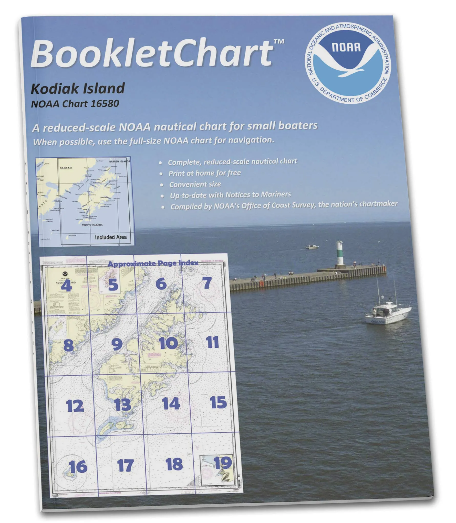
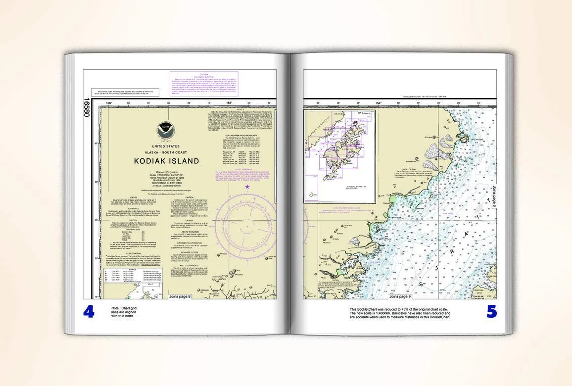
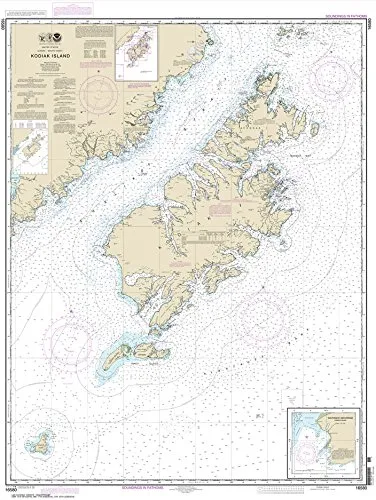
The NOAA BookletChart 16580 is an essential navigation tool designed specifically for recreational boaters exploring the waters around Kodiak Island and Southwest Anchorage. This handy booklet, measuring 8.5′ x 11′, provides a convenient alternative to larger, full-scale nautical charts that may be cumbersome to handle, especially aboard small vessels. Each BookletChart is an exact replica of the corresponding NOAA Chart 16580 but printed in a more manageable scale, making it easier for boaters to navigate with confidence.
One of the standout features of this BookletChart is its meticulous attention to detail. Despite being smaller in size, it includes all the critical information found on the full-scale version, ensuring that users have access to vital navigational data. The bar scales have been accurately reduced, allowing boaters to measure distances effectively while utilizing the chart.
When you order your BookletChart, it is printed on demand, which means that you receive the latest updates and corrections made at the time of printing. This is crucial, as maritime conditions can change rapidly, and having the most current information is essential for safe navigation. The charts are printed on high-quality, durable paper and feature a robust saddle-stitched binding, ensuring that they withstand the rigors of marine environments.
Although this BookletChart offers an invaluable resource for recreational boaters, it is important to note that it does not satisfy the chart carriage requirements for regulated commercial vessels under Titles 33 and 44 of the Code of Federal Regulations. However, it has been updated to include chart corrections published by the U.S. Coast Guard Local Notice to Mariners, the National Geospatial Intelligence Agency Weekly Notice to Mariners, and, where applicable, the Canadian Coast Guard Notice to Mariners.
The creation of BookletCharts stems from NOAA’s commitment to enhancing the safety and effectiveness of nautical navigation. Initially launched as an experimental product by the Coast Survey, their success has led to a transition into official production. Today, nearly 1,000 newly updated BookletCharts are available, covering an impressive 95,000 miles of U.S. coastline and the Great Lakes.
While larger nautical charts are often preferred for their comprehensive detail, the smaller scale of BookletCharts has proven to be incredibly user-friendly for recreational boaters. This practicality does not come at the expense of information; they retain most of the critical details found in traditional paper charts, thus ensuring that boaters are well-informed before and during their voyages.
NOAA’s nautical charts are more than just paper; they serve as a crucial lifeline that helps protect lives and property at sea. Unfortunately, many boaters neglect to utilize nautical charts, opting instead to rely on local knowledge or their own memories. This practice can be risky, as underwater terrain evolves, shorelines shift, and new hazards to navigation are identified regularly. Utilizing a BookletChart like the NOAA 16580 will keep boaters informed about these changes, providing peace of mind and enhancing the safety of their journeys, whether they are navigating the calm waters of a bay or the expansive coastline.
| Product Features | Description |
| Size | Handy 8.5′ x 11′ format for easy handling aboard small craft. |
| Durability | Printed on high-quality paper with strong saddle-stitched binding. |
| Updates | Includes the latest corrections from official sources. |
| Navigation | Helps recreational boaters navigate safely and effectively. |
In summary, the NOAA BookletChart 16580 for Kodiak Island and Southwest Anchorage is your reliable companion for safe and enjoyable boating experiences. Its compact design, comprehensive information, and up-to-date corrections make it an invaluable resource for anyone venturing into these beautiful waters. Don’t risk your safety—equip yourself with the right tools for navigation.


Reviews
There are no reviews yet.