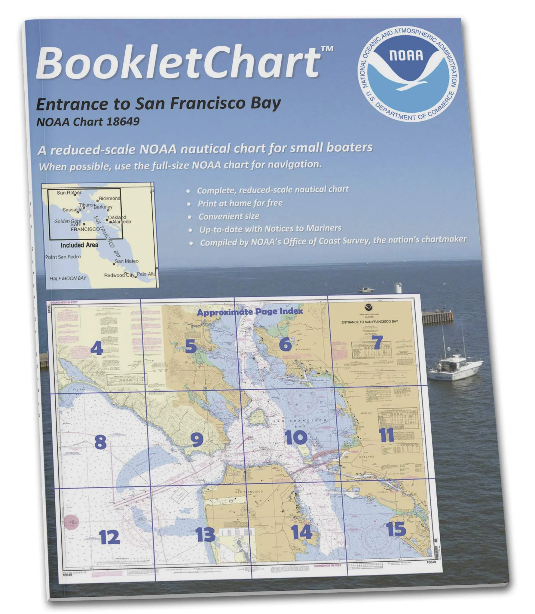
The NOAA BookletChart 18649 offers a compact and convenient way for recreational boaters to navigate the waters of San Francisco Bay. This booklet, sized at a handy 8.5′ x 11′, serves as an alternative to traditional large-scale nautical charts that can be cumbersome to manage, especially when out on the water in smaller vessels.
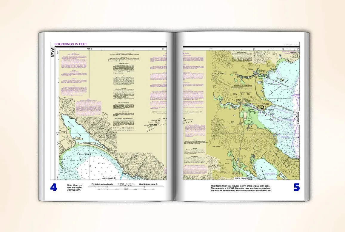
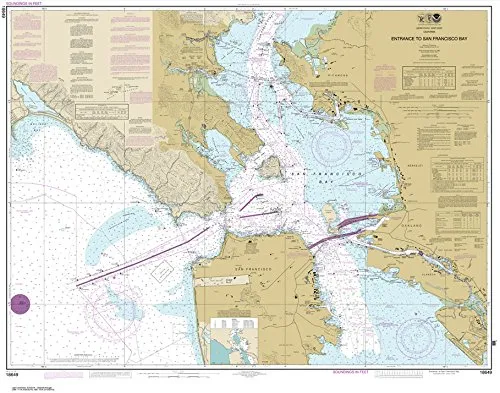
Featuring an exact replica of the full-scale NOAA Chart 18649, this booklet is printed on high-quality, durable paper. It is designed with a saddle-stitched binding, ensuring that it can withstand the rigors of marine environments while remaining easy to handle. Each BookletChart is printed on demand, which means that it includes all updates at the time of printing, providing the most current information for safe navigation.
One of the standout features of the BookletChart is its scale reduction, which makes it more manageable without sacrificing essential navigational data. Despite the smaller size, it maintains accuracy, particularly in measuring distances with the reduced bar scales provided. However, it is important to note that this BookletChart does not fulfill the chart carriage requirements for regulated commercial vessels under Titles 33 and 44 of the Code of Federal Regulations. Nonetheless, it does reflect the latest updates from various maritime authorities, including the U.S. Coast Guard Local Notice to Mariners and the National Geospatial Intelligence Agency Weekly Notice to Mariners.
The NOAA BookletCharts have established themselves as one of the most practical navigation tools available for recreational boaters. Originally conceived as an experimental product by the Coast Survey, their success led to their transition into official production. Currently, nearly 1,000 updated BookletCharts are available, covering an impressive 95,000 miles of U.S. coastline and the Great Lakes.
These handy charts are smaller in scale compared to traditional paper charts but retain much of the critical information necessary for safe navigation. NOAA’s nautical charts are invaluable for protecting lives and property on the water. It’s essential for boaters to utilize these navigation aids rather than relying solely on local knowledge or memory, which can be perilous. The maritime environment is constantly changing; seafloors shift, shorelines erode, and new navigation hazards are identified regularly.
The BookletChart will keep boaters informed about these developments, ensuring a safer voyage whether navigating around the bay or traveling down the coast. With this tool, recreational boaters can enjoy peace of mind while exploring the waters of San Francisco Bay.
| Feature | Description |
| Size | 8.5′ x 11′ Handy Size |
| Print Quality | High-quality durable paper |
| Binding | Saddle-stitched for durability |
| Chart Updates | Includes the latest updates at the time of printing |
| Scale | Reduced scale for convenience |
| Navigation Aid | Helps in safe navigation of San Francisco Bay |



Reviews
There are no reviews yet.