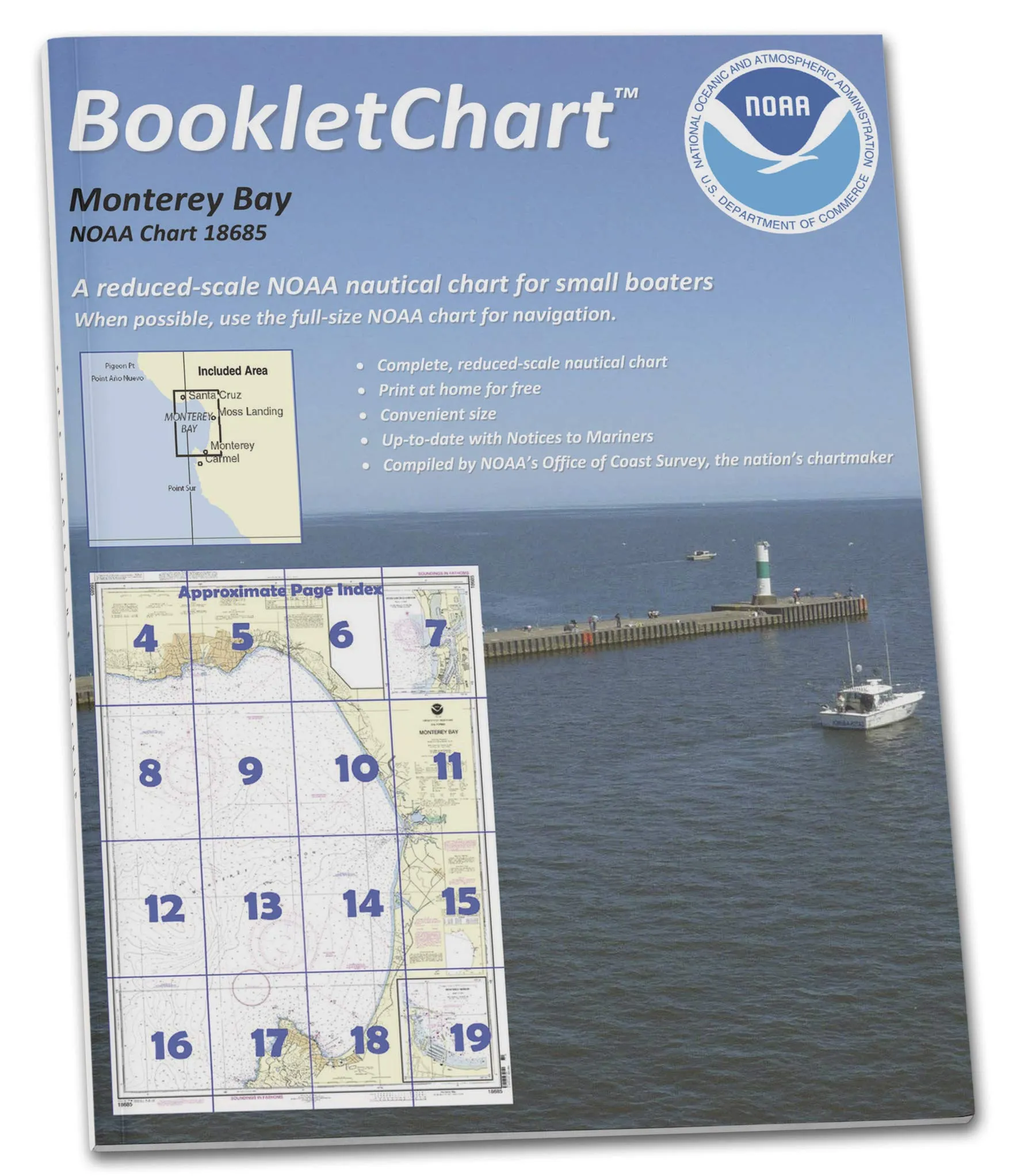
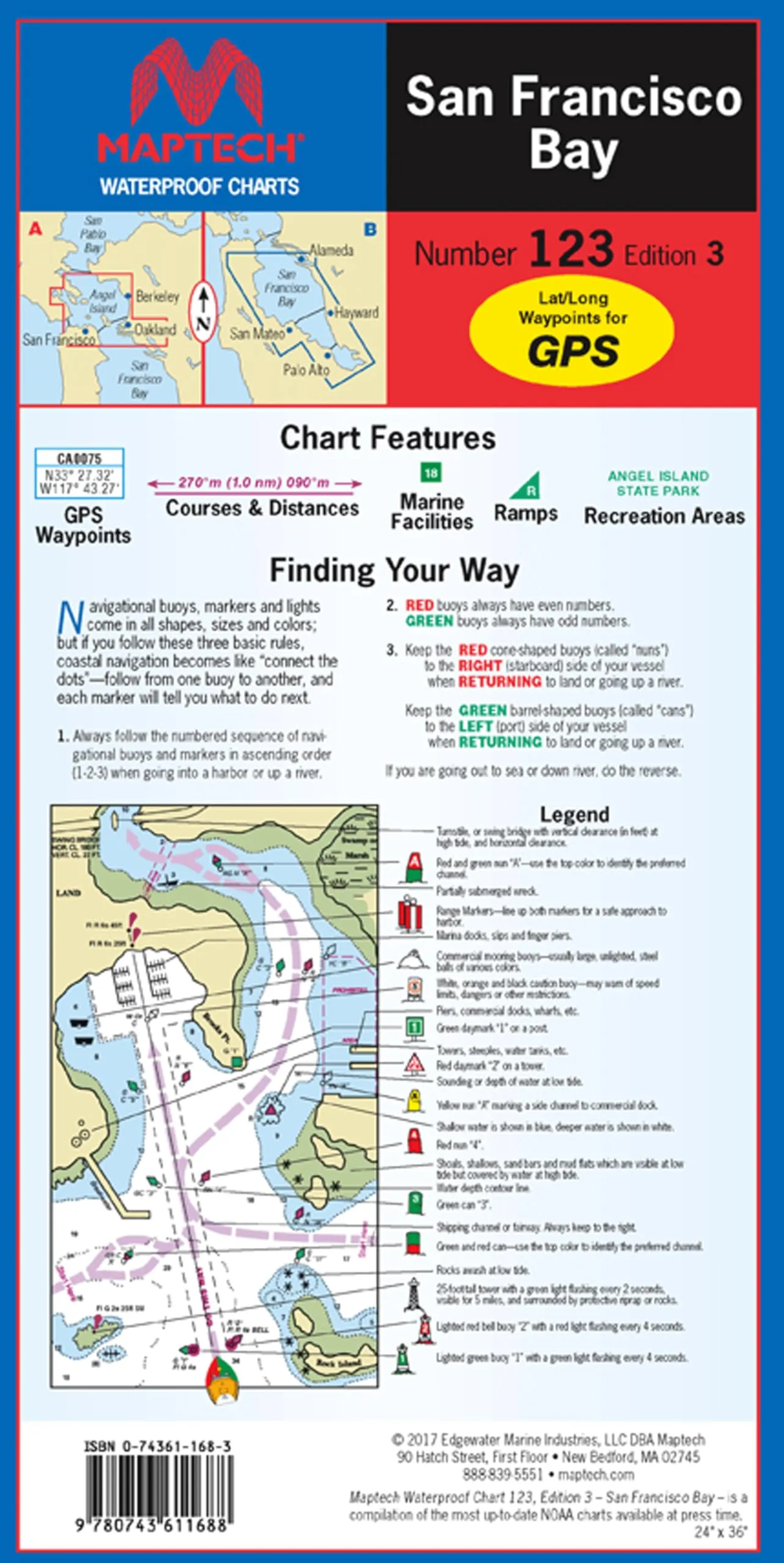
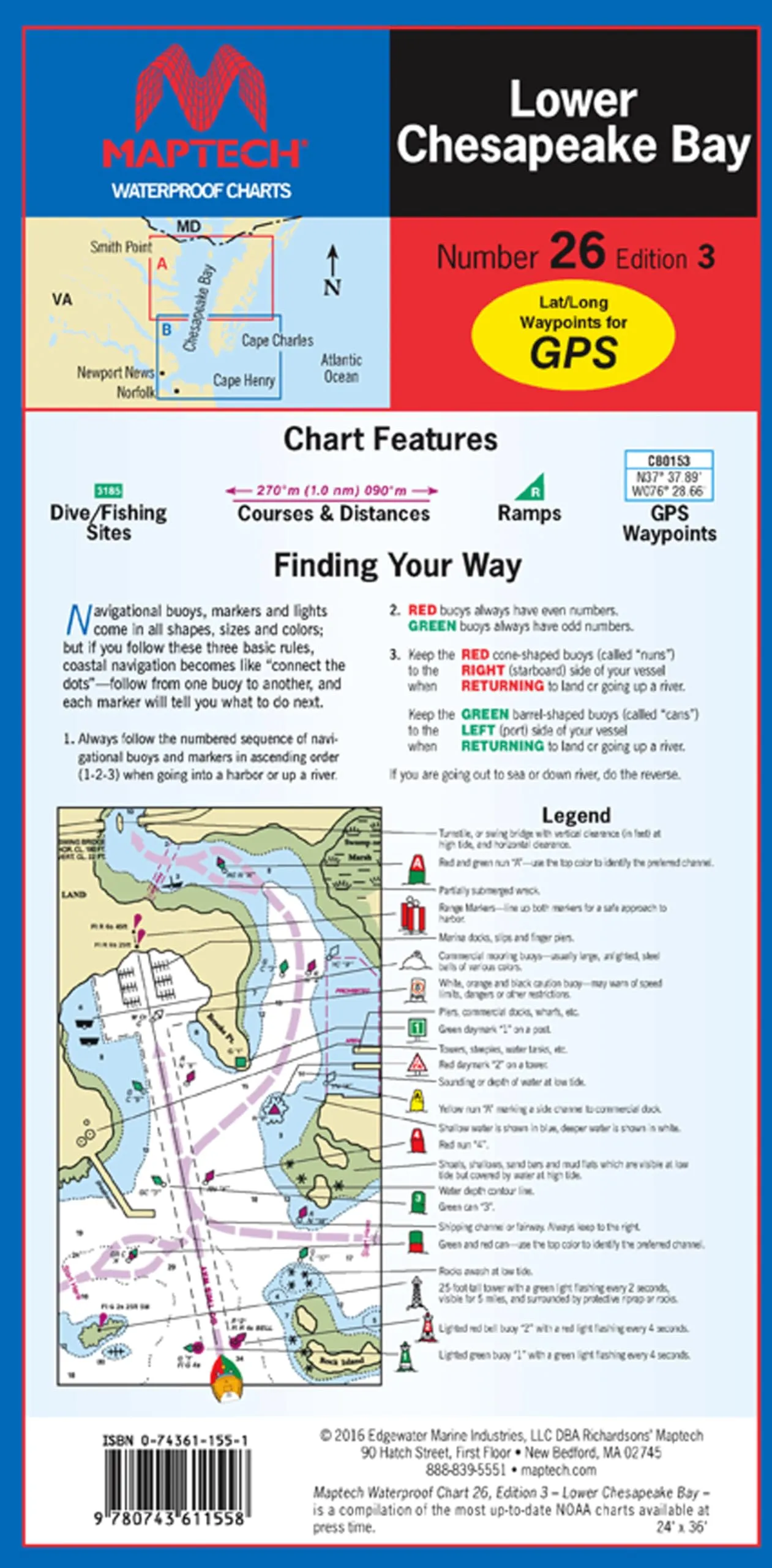
Introducing the NOAA BookletChart 18685, your essential companion for navigating the stunning waters of Monterey Bay, including Monterey Harbor and Moss Landing Harbor. This innovative product, brought to you by Paradise Cay Publications, is designed specifically for recreational boaters who seek convenience without sacrificing navigational accuracy.
This BookletChart is a smaller-scale alternative to large, full-scale nautical charts that can be cumbersome to manage while out on the water. With its handy 8.5 x 11 inch size, this chart is easy to handle and read while you are sailing or cruising. It features an exact replica of the full-scale NOAA Chart 18685, meticulously printed to provide all the important navigational information you need, just in a more manageable format.
The NOAA BookletChart 18685 is printed on high-quality, durable paper, ensuring that it withstands the rigors of marine environments. It comes with stapled (saddle-stitched) binding, making it not only practical but also robust for multiple uses. Each BookletChart is printed on demand, which means you will receive the most up-to-date information available at the time of your order.
What sets this BookletChart apart is its commitment to accuracy. It includes all updates published in the U.S. Coast Guard Local Notice to Mariners, the National Geospatial Intelligence Agency Weekly Notice to Mariners, and, when applicable, the Canadian Coast Guard Notice to Mariners. As a result, you can trust that you have the most current navigational data at your fingertips.
It’s important to note that while this BookletChart is an invaluable resource for recreational boating, it does not fulfill chart carriage requirements for regulated commercial vessels under Titles 33 and 44 of the Code of Federal Regulations. Therefore, it is tailored specifically for leisure boaters who want to enhance their on-water experience.
The NOAA BookletChart has become one of the most popular navigation products offered by NOAA, moving from the experimental stage into official production due to its overwhelming success. With nearly 1,000 updated BookletCharts now available, they cover an impressive 95,000 miles of U.S. coastline and the Great Lakes, ensuring that recreational boaters have access to essential navigational tools.
Many boaters often rely on local knowledge or their memories while navigating, which can be risky. The marine environment is constantly changing; seafloors shift, shorelines erode, and new navigational hazards frequently emerge. The NOAA BookletChart 18685 is designed to inform boaters about these developments, significantly enhancing safety during your voyages, whether you are exploring the bay or cruising down the coast.
| Feature | Details |
| Size | 8.5 x 11 inches |
| Binding | Stapled (saddle-stitched) |
| Paper Quality | High-quality durable paper |
| Updates | Includes all current corrections |
| Scale | Reduced scale for convenience |
In summary, the NOAA BookletChart 18685 is an indispensable tool for any recreational boater. With its precise navigational details, convenient size, and updated information, you can confidently explore the beautiful waters of Monterey Bay and beyond.


Reviews
There are no reviews yet.