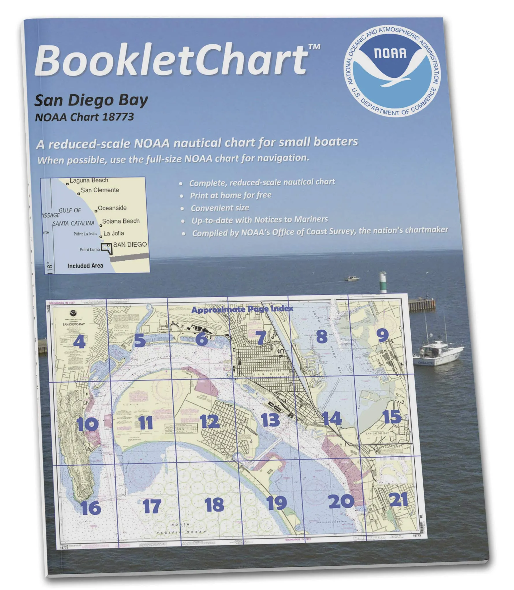
The NOAA BookletChart 18773 for San Diego Bay is a must-have navigation tool for recreational boaters. This innovative product offers a compact solution to manage nautical charts effectively while out on the water. Designed to be an alternative to large, cumbersome full-scale charts, it provides all the essential information in a more manageable format.
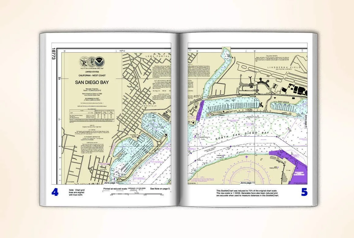
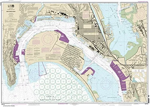
This BookletChart is an exact replica of the NOAA Chart 18773, but it has been thoughtfully reduced in scale and presented in a convenient booklet form. At a handy 8.5 x 11 inches, this chart is both portable and practical, making it ideal for use on smaller vessels where space is limited. Each BookletChart is printed on demand, ensuring that you receive the most current updates at the time of your order. The high-quality durable paper used in the printing process guarantees that the chart will withstand the rigors of marine environments, providing reliable service for many voyages.
One of the standout features of the NOAA BookletChart 18773 is its accurate bar scales. These scales have been reduced in size but remain precise for measuring distances, allowing boaters to navigate effectively and confidently. It’s important to note that while this BookletChart is an excellent resource for recreational boating, it does not meet the chart carriage requirements for regulated commercial vessels as outlined in Titles 33 and 44 of the Code of Federal Regulations.
The BookletChart incorporates all necessary chart corrections published in various notices, including the U.S. Coast Guard Local Notice to Mariners and the National Geospatial Intelligence Agency Weekly Notice to Mariners. This ensures that you have the most accurate and up-to-date information available, which is crucial for safe navigation. There are nearly 1,000 updated BookletCharts available, covering an extensive 95,000 miles of U.S. coastline and the Great Lakes.
NOAA’s nautical charts are designed to help protect lives and property, emphasizing the importance of having the right navigational tools at your disposal. Many boaters rely solely on local knowledge or their memories when navigating, which can be a risky practice. The seafloor is constantly changing, shorelines can erode, and new navigational hazards are regularly discovered. The NOAA BookletChart serves as a reliable guide to inform boaters of these developments, thus ensuring a safe voyage whether you’re exploring the bay or cruising down the coast.
| Attribute | Details |
| Title | NOAA BookletChart 18773: San Diego Bay |
| Size | 8.5 x 11 inches |
| Binding | Saddle-stitched |
| Material | High-quality durable paper |
| Page Count | Varies based on the chart |
In conclusion, the NOAA BookletChart 18773 is not just a chart; it is a comprehensive navigation aid tailored for recreational boaters. By providing essential information in a user-friendly format, it empowers boaters to navigate safely and confidently on the waters of San Diego Bay. With the commitment to continuous updates and high-quality production, this booklet chart is an invaluable resource for anyone looking to enhance their boating experience.



Reviews
There are no reviews yet.