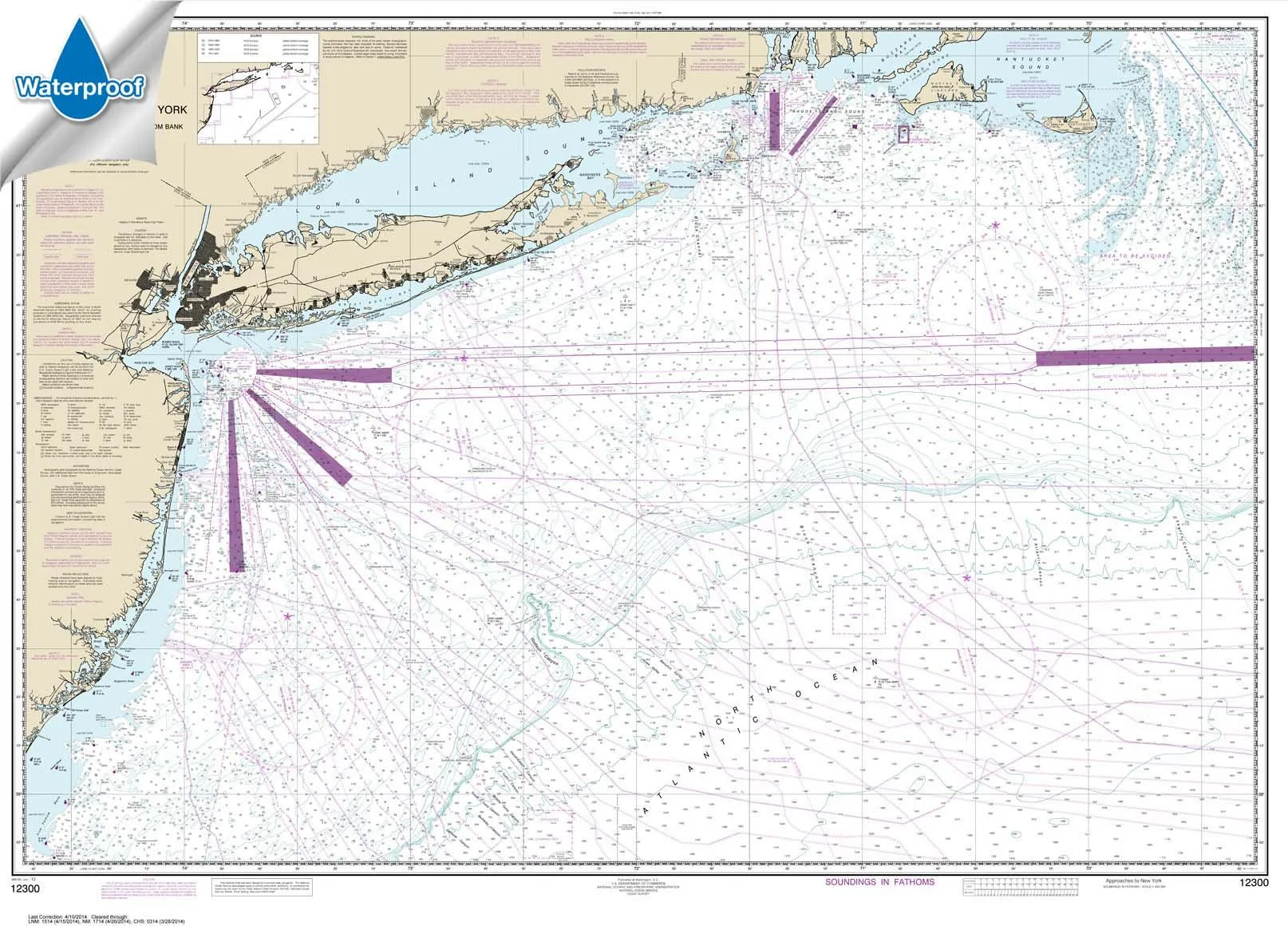
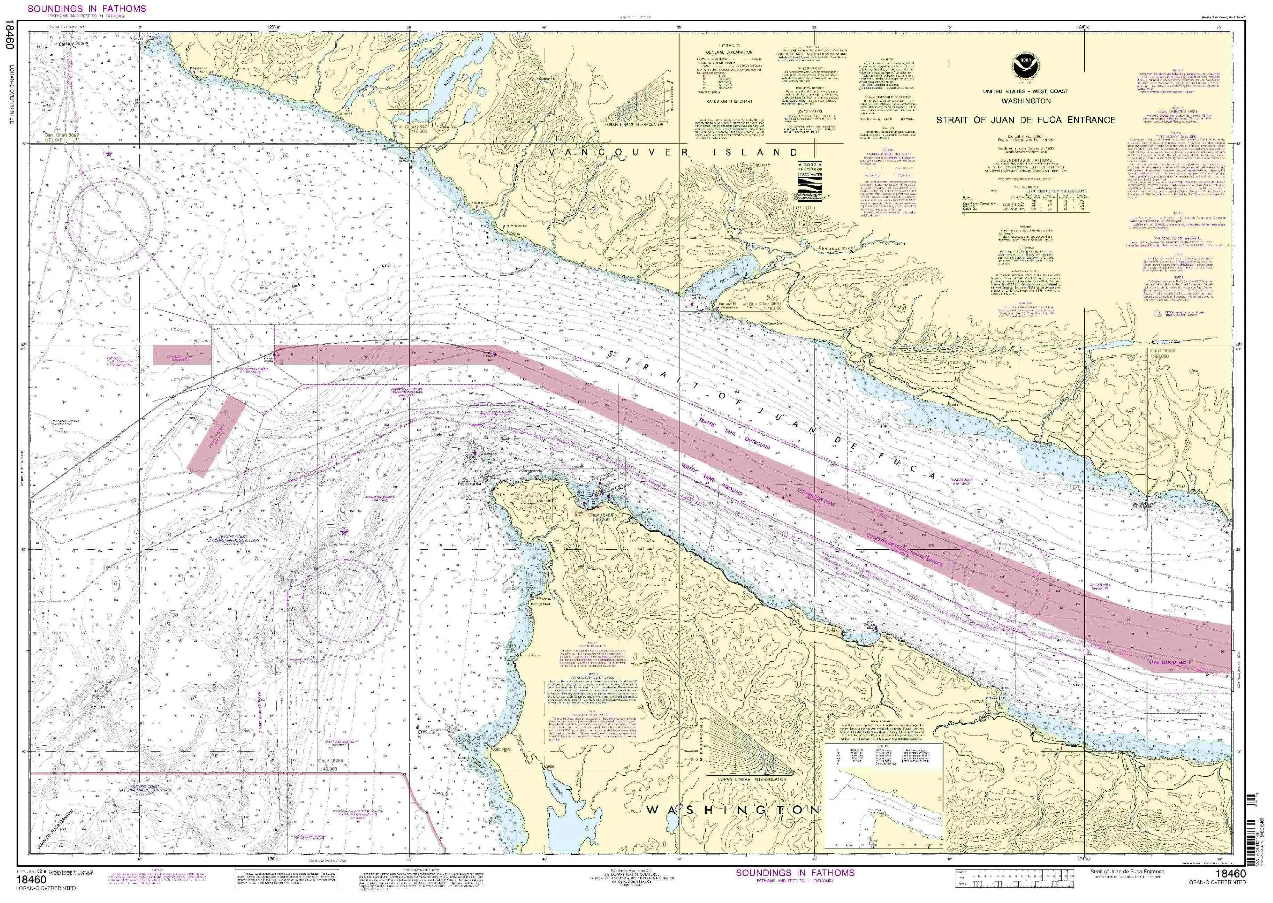
Introducing the NOAA Chart 12300, a meticulously crafted nautical chart that covers the approaches to New York, specifically from Nantucket Shoals to Five Fathom Bank. This chart measures 34.6 x 47.9 inches and is printed on high-quality waterproof and tear-resistant material, ensuring durability even in challenging marine conditions.
Paradise Cay Publications, Inc. has designed this chart to meet the needs of both recreational and commercial mariners. It is important to note that this chart is always printed on demand using the most recent NOAA data, which guarantees that you receive the most accurate and up-to-date information available for safe navigation.
The NOAA Chart 12300 is prepared to be display quality, arriving rolled rather than folded. This is a significant feature, as it helps preserve the integrity of the chart while making it easy to store and transport. Whether you’re an avid sailor or a professional navigator, you’ll appreciate the quality and convenience this chart offers.
One of the standout features of the NOAA Chart 12300 is its certification. Printed by Paradise Cay Publications using proprietary methods and materials, this chart is certified by NOAA and the U.S. Coast Guard for carriage on commercial vessels. This certification is crucial as it guarantees that the chart meets all necessary safety and navigation standards.
Ruby & Rudy’s Books proudly serve as the exclusive sellers of this brand of nautical charts. It’s essential to be aware that other sellers using this listing are not authorized to sell this brand of chart and may offer inferior products. You can trust that when you purchase from Ruby & Rudy’s, you are getting a genuine NOAA-certified chart.
As a NOAA-certified agent, Paradise Cay Publications has undergone a rigorous vetting process. This includes submitting samples of their charts to NOAA for evaluation. Only those who meet stringent criteria regarding scale and print quality are permitted to carry the NOAA logo, ensuring that you receive a product that you can rely on for navigation.
To meet NOAA’s standards, the charts must withstand a reasonable amount of erasing, which is crucial for plotting and navigation. Additionally, the materials used are approved for being reasonably water-resistant, adding another layer of reliability to this essential navigation tool.
Paradise Cay Publications charts are sold exclusively through Ruby & Rudy’s, ensuring that you receive authentic NOAA-certified charts. We invite you to explore our complete line of chart products, which includes PAPER CHARTS, WATERPROOF CHARTS, SMALL FORMAT CHARTS, BOOKLET CHARTS, and BOOK CHARTS. Each product is designed to meet the high standards required by mariners and navigators alike.
| Chart Name | NOAA Chart 12300 |
| Size | 34.6 x 47.9 inches |
| Material | Waterproof and Tear-Resistant |
| Certification | NOAA and U.S. Coast Guard Certified |
| Seller | Ruby & Rudy’s Books |
In summary, the NOAA Chart 12300 is an indispensable tool for anyone navigating the waters approaching New York. Its combination of high-quality materials, accurate data, and certification by NOAA makes it a reliable choice for both leisure and commercial use. Trust in the expertise of Paradise Cay Publications and Ruby & Rudy’s Books to provide you with the best in nautical navigation.


Reviews
There are no reviews yet.