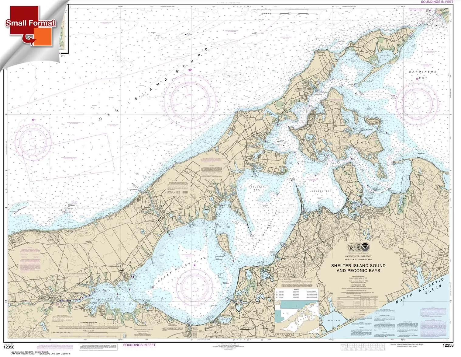
Introducing the NOAA Chart 12358, a meticulously designed nautical chart that showcases the stunning Shelter Island Sound and Peconic Bays. This chart measures 21 inches by 27.16 inches, making it an excellent small format option for those who appreciate quality and durability. Printed by Paradise Cay Publications, this chart is crafted from high-quality waterproof and tear-resistant material, ensuring that it can withstand the test of time and the elements.
One of the standout features of NOAA Chart 12358 is that it is always printed on demand using the most recent NOAA data. This means you are guaranteed the most up-to-date information available, which is crucial for any maritime activities. The chart is prepared to be display quality, arriving rolled rather than folded, which helps to maintain its pristine condition.
It’s important to note that small format charts, including this one, are proportionately scaled down in size. While they are not printed to full size, the scale bars are proportionally reduced and can be used for reference. This makes them excellent for planning purposes, although they are not recommended for navigation. Importantly, small format charts do not satisfy U.S. Coast Guard carriage requirements, so they should be used in conjunction with authorized full-size charts when navigating.
Paradise Cay Publications uses proprietary methods and materials to produce these small format charts, ensuring a level of quality that is unmatched in the industry. Ruby & Rudy’s Books proudly serves as the exclusive seller of this brand, providing assurance that you are receiving a genuine product. Be cautious of other sellers who may offer inferior versions of this chart, as they are not authorized to sell this brand and may not meet the high standards set by Paradise Cay.
As a NOAA-certified agent, Paradise Cay Publications has undergone a rigorous vetting process by NOAA. This includes submitting samples of their charts for evaluation, ensuring that they meet acceptable standards in scale and print quality. The charts are designed to withstand reasonable erasing, allowing them to be used effectively for plotting. Additionally, the paper used is reasonably water-resistant, adhering to NOAA’s strict guidelines.
Only charts printed by certified NOAA Chart Agents are authorized to carry the NOAA logo and meet carriage requirements. This guarantee of quality is what sets NOAA Chart 12358 apart from others on the market. As you explore the waters of Shelter Island Sound and Peconic Bays, having the right chart is essential for safe and effective navigation planning.
In conclusion, NOAA Chart 12358 is an invaluable tool for anyone looking to explore the beautiful waters surrounding Shelter Island. With its waterproof design, up-to-date data, and quality assurance from a certified NOAA agent, this chart is a must-have for both boating enthusiasts and casual explorers alike. Don’t forget to check out our complete line of chart products, which includes paper charts, waterproof charts, small format charts, booklet charts, and book charts.


Reviews
There are no reviews yet.