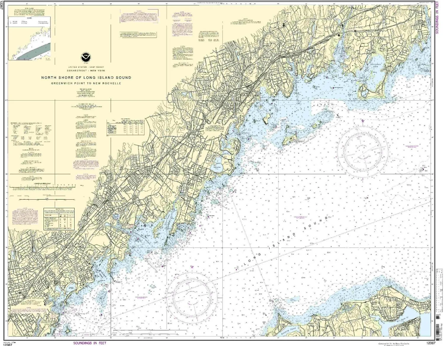
Introducing the NOAA Greenwich Point Nautical Chart, the ultimate tool for mariners navigating the Eastern U.S. and Canada regions. This chart is meticulously crafted to provide the most accurate and up-to-date information for safe and effective navigation. With a scale of 1:20000, it offers detailed insights into the waterways, ensuring you have the necessary information at your fingertips.
One of the standout features of this nautical chart is that it is printed only after an order has been received. This means that you receive the most current version available, with all Notice to Mariners corrections applied. Mariners can feel confident knowing that they are using a chart that meets both U.S. and international carriage requirements for commercial vessels, making it an essential addition to any nautical toolkit.
Measuring 35.29 inches in height and 44.12 inches in width, this chart is designed to provide a comprehensive view of the marine area. Its large size allows for easy reading and reference, even in challenging conditions. Whether you are a seasoned sailor or a recreational boater, this chart will enhance your navigational experience.
Below is a summary of the chart’s specifications:
| Feature | Details |
| Scale | 1:20000 |
| Region | Eastern U.S./Canada |
| Height | 35.29 inches |
| Width | 44.12 inches |
| Approval | U.S. Coast Guard approved |
| Corrections | All Notice to Mariners corrections applied |
In conclusion, the NOAA Greenwich Point Nautical Chart is an indispensable resource for anyone navigating the waters of the Eastern U.S. and Canada. With its detailed scale, up-to-date information, and compliance with maritime regulations, this chart not only enhances safety but also improves the overall boating experience. Elevate your navigation skills and ensure you’re always prepared with the most reliable nautical chart on the market.


Reviews
There are no reviews yet.