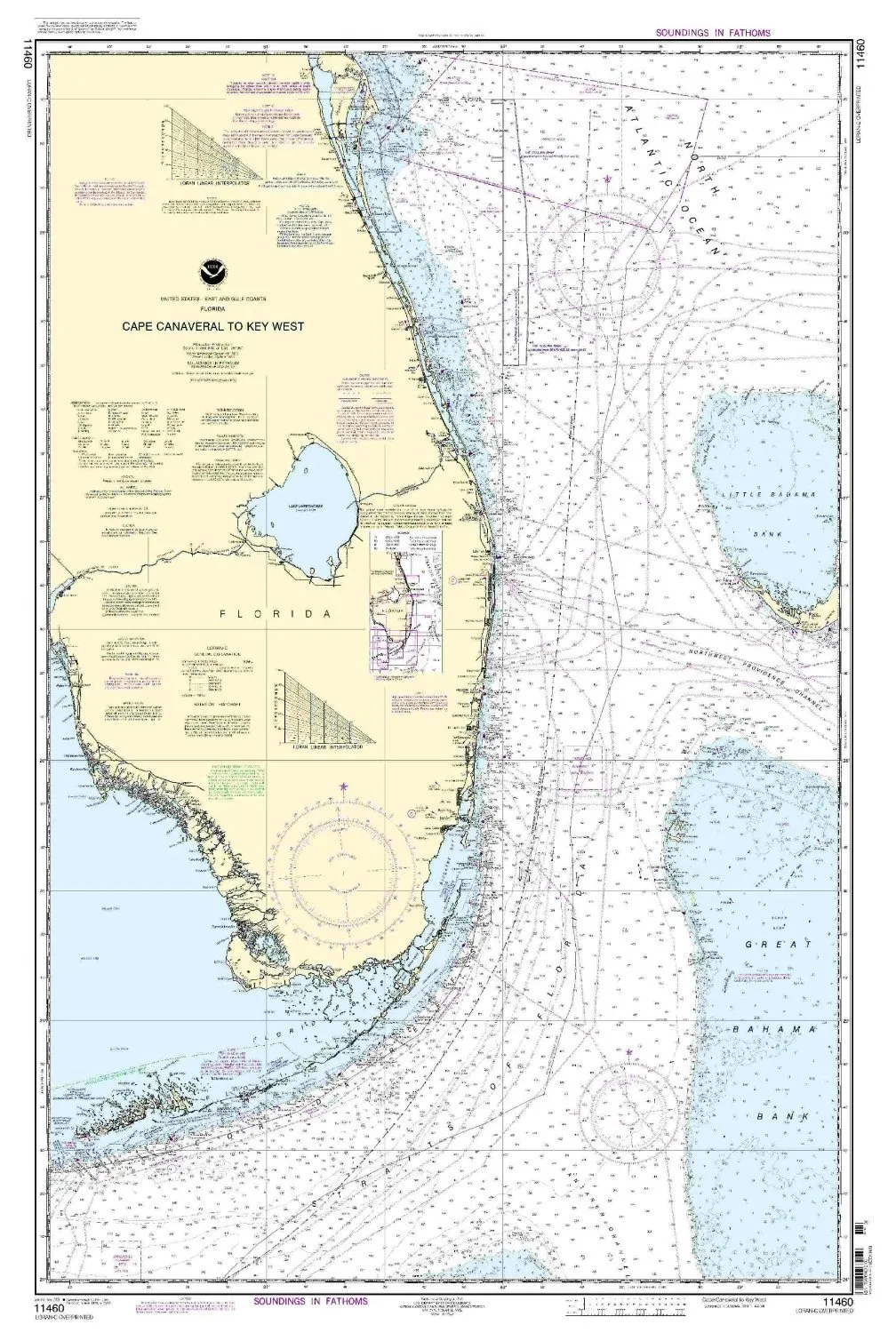
Welcome to the world of nautical navigation, where precision and reliability are paramount. Introducing the NOAA Nautical Chart 11460 for Cape Canaveral and Key West, designed specifically for mariners who demand the most accurate and current information. This chart is more than just a piece of paper; it is a critical tool for safe and efficient navigation.
OceanGrafix, a trusted name in the maritime industry, provides mariners with the most up-to-date, NOAA-approved nautical charts available. Each chart is printed only after an order has been received, guaranteeing that you will receive the latest information available. This approach ensures that all Notice to Mariners corrections have been applied, giving you peace of mind as you navigate the waters.
The chart features a scale of 1:466940, covering the Eastern U.S. and Canada region. With dimensions of 46.86 inches in height and 30.78 inches in width, this chart is both detailed and easy to read. Its size makes it ideal for use on board commercial vessels, meeting U.S. and international carriage requirements. The U.S. Coast Guard has approved this chart, which further underscores its reliability and importance for safe navigation.
| Feature | Details |
| Brand | NOAA |
| Chart Title | 11460 Cape Canaveral / Key West |
| Size | 46.86” H x 30.78” W |
| Scale | 1:466940 |
| Region | Eastern U.S./Canada |
| Approval | U.S. Coast Guard Approved |
| Updates | All Notice to Mariners corrections applied |
This chart is not just a necessity; it is a vital resource for anyone who takes to the waters. Whether you are a commercial sailor, a recreational boater, or a maritime professional, having the right navigational tools can make all the difference. With the NOAA Nautical Chart 11460, you can navigate with confidence, knowing that you are backed by the most current data available.
In conclusion, invest in your maritime safety and efficiency by choosing the NOAA Nautical Chart 11460 for Cape Canaveral and Key West. With its up-to-date information, official approval, and detailed representation of the waterways, it is an essential addition to your navigational arsenal.


Reviews
There are no reviews yet.