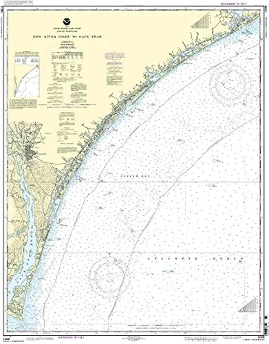
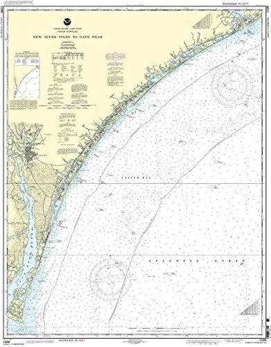
The NOAA Nautical Chart 11539, encompassing the region from New River Inlet to Cape Fear, is an essential resource for both commercial and recreational mariners. This chart has been carefully crafted and printed on demand, ensuring that you receive the most accurate and up-to-date information available. The partnership between the National Oceanic and Atmospheric Administration (NOAA) and OceanGrafix guarantees that every chart reflects the latest navigational data, including all Notice to Mariners (NTM) corrections applicable at the time of printing.
One of the most significant features of this nautical chart is its compliance with U.S. and international carriage requirements for commercial vessels, as defined in the SOLAS (Safety of Life at Sea) Chapter V Regulation 19.2.1.192. This regulation outlines the need for vessels to carry nautical charts and publications that are up to date, ensuring safe navigation through various water bodies.
Furthermore, the NOAA Nautical Chart 11539 has received approval from the U.S. Coast Guard, which adds an extra layer of credibility and trustworthiness to this product. Mariners can navigate confidently knowing that they are using a chart that meets strict safety and accuracy standards.
| Chart Features | Description |
| Printed on Demand | This ensures that the chart is freshly printed with the latest updates when you place your order. |
| NOAA Approved | Guaranteed accuracy and reliability through official NOAA standards. |
| NTM Updates | Incorporates all Notice to Mariners corrections, providing mariners with the most current navigational information. |
| U.S. Coast Guard Approved | Meets all necessary safety regulations for commercial navigation. |
This chart is designed not just for aesthetics but also for functionality. Mariners will appreciate the clear demarcations of water depths, navigational aids, and other critical features that are essential for safe navigation. The details are rendered in a manner that balances clarity and comprehensiveness, catering to both seasoned professionals and casual boaters.
In addition to its primary functionalities, the NOAA Nautical Chart 11539 can serve as a valuable educational tool. Whether you are teaching new sailors the basics of navigation or studying marine geography, this chart provides a wealth of information that can enhance understanding and skills.
In summary, the NOAA Nautical Chart 11539 from New River Inlet to Cape Fear is an indispensable tool for anyone involved in maritime activities. Its accurate, up-to-date information, compliance with international standards, and approval from relevant authorities make it a reliable choice for safe navigation on the waters.


Reviews
There are no reviews yet.