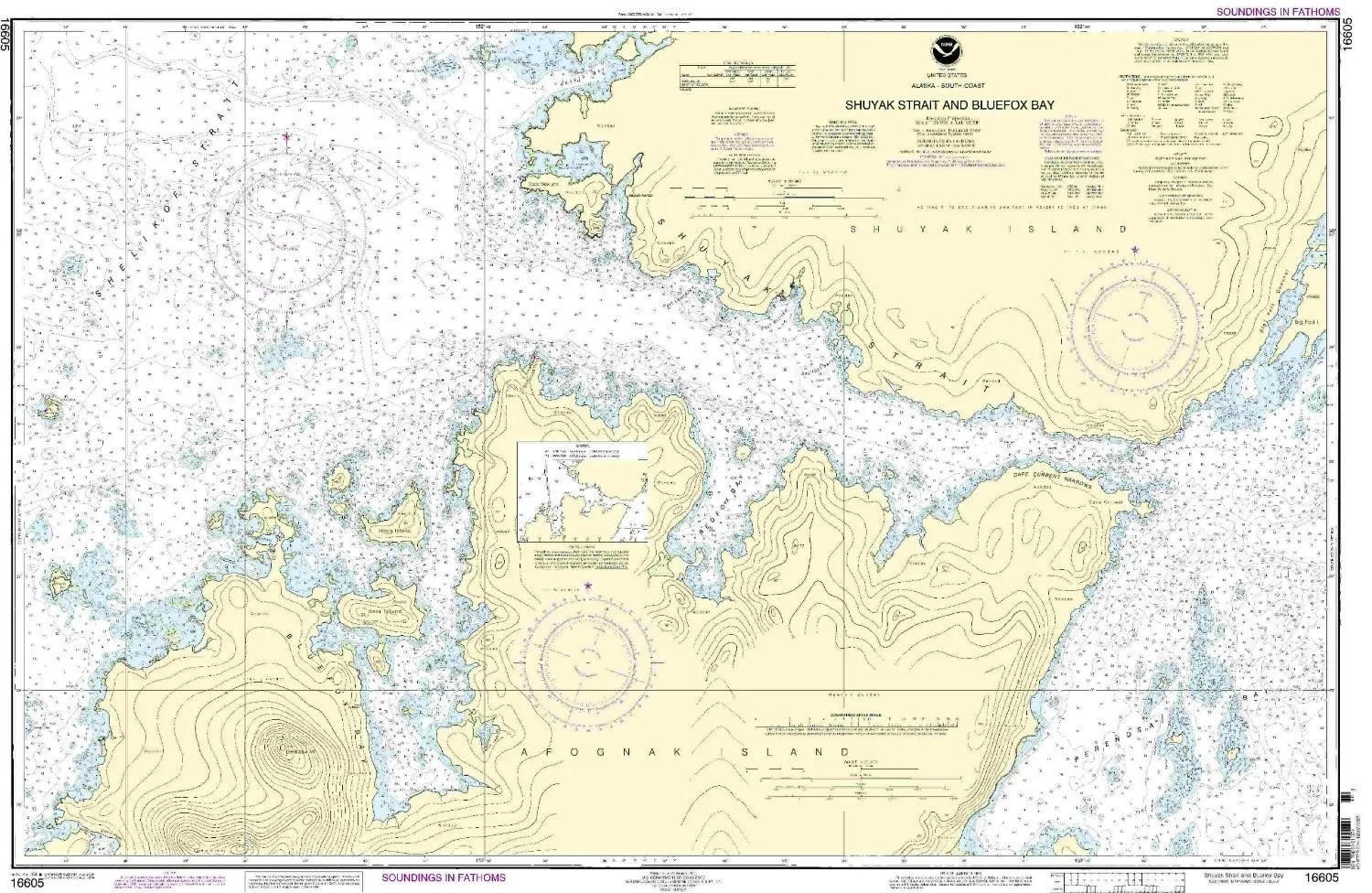
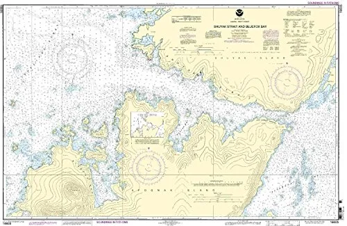
Introducing the NOAA Nautical Chart 16605, featuring the stunning Shuyak Strait and Bluefox Bay. This chart is essential for any mariner navigating the Pacific Northwest and Alaska region. With a detailed scale of 1:20000, it provides accurate information crucial for safe voyages.
OceanGrafix, a trusted name in maritime navigation, offers the most up-to-date and NOAA-approved nautical charts on the market. Each chart is printed only after an order has been received. This process guarantees that you receive the latest information, reflecting all Notice to Mariners corrections. This feature is particularly important for ensuring accuracy in navigation and compliance with maritime regulations.
Before diving into the specifics, let’s look at the key features of this nautical chart:
| Feature | Description |
| Scale | 1:20000 |
| Region | Pacific Northwest/Alaska |
| Dimensions | 29.28” H x 43.92” W |
| Corrections | All Notice to Mariners applied |
| Approval | U.S. Coast Guard approved |
| Carriage Requirements | Meets U.S. and international requirements for commercial vessels |
The chart’s scale of 1:20000 allows for detailed navigation, making it easier to identify key features and hazards in the waters of Shuyak Strait and Bluefox Bay. Mariners will appreciate the clarity and accuracy that this chart provides, ensuring they can navigate safely through these beautiful yet challenging waters.
In addition to its accuracy, the chart meets all necessary carriage requirements for both U.S. and international commercial vessels. This means that you can trust the NOAA Nautical Chart 16605 not only for recreational navigation but also for professional maritime operations. The U.S. Coast Guard has approved this chart, further ensuring that it adheres to the highest standards of safety and accuracy.
For those planning voyages in the Pacific Northwest and Alaska, this chart is indispensable. Its large dimensions, 29.28 inches in height and 43.92 inches in width, provide a comprehensive view of the area, allowing mariners to plan their routes with confidence. Whether you’re a seasoned sailor or a novice navigator, having the most accurate and up-to-date nautical chart is essential for a successful journey.
In summary, the NOAA Nautical Chart 16605 for Shuyak Strait and Bluefox Bay is a must-have for any mariner navigating the Pacific Northwest. With its detailed scale, up-to-date information, and necessary approvals, it is designed to ensure your safety and compliance while exploring these waters. Invest in your navigation tools today and sail with confidence!

Reviews
There are no reviews yet.