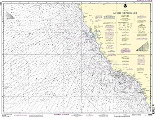
The NOAA Nautical Chart 18020, covering the route from San Diego to Cape Mendocino, represents a significant resource for both commercial and recreational mariners. This chart is designed to provide the most current and accurate navigational information available, ensuring safe passage through these waters.
Printed on demand, each chart is produced with the latest Notice to Mariners (NTM) updates incorporated, reflecting the most recent changes in the marine environment. This feature is crucial for ensuring that mariners have access to the most accurate data possible at the time of their journey.
The partnership between the National Oceanic and Atmospheric Administration (NOAA) and OceanGrafix enables mariners to benefit from up-to-date nautical charts that comply with the strictest standards. The NOAA Nautical Chart 18020 meets the definition of a nautical chart as stipulated in SOLAS Chapter V Regulation 2.2. It also fulfills the carriage requirements for commercial vessels as defined in SOLAS Chapter V Regulation 19.2.1.4.
| Feature | Description |
| Chart Type | NOAA Standard Nautical Chart |
| Region | San Diego to Cape Mendocino |
| Printing Method | On-Demand |
| Corrections Applied | All Notice to Mariners corrections are applied at the time of printing |
| Regulatory Compliance | Meets U.S. and international carriage requirements for commercial vessels |
| Approval | U.S. Coast Guard Approved |
The NOAA Nautical Chart 18020 is not only an essential tool for navigation but also a commitment to safety and precision on the water. Mariners can trust that they are using a reliable resource that has been meticulously updated to reflect any changes that may affect their journey.
Whether you are a seasoned mariner or a recreational boater, having the NOAA Nautical Chart 18020 on board ensures you are equipped with the best navigational aids available. It is more than just a chart; it is a gateway to exploring the beautiful and sometimes challenging waters between San Diego and Cape Mendocino.


Reviews
There are no reviews yet.