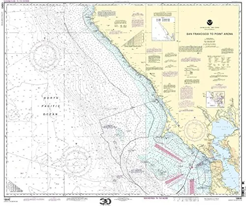
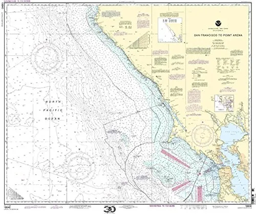
Introducing the NOAA Nautical Chart 18640, a vital tool for mariners navigating the California-Panama region. This chart is specifically designed to provide the most accurate and up-to-date information, making it an essential resource for both recreational sailors and commercial vessels alike. With dimensions of 33.51 inches in height and 40.72 inches in width, this chart offers a comprehensive view of the waters between San Francisco and Point Arena.
One of the standout features of this nautical chart is that it is printed only after an order has been received. This unique approach ensures that you receive the most recent updates, reflecting the latest navigational information. Additionally, all Notice to Mariners corrections are applied meticulously. This commitment to accuracy not only meets but also exceeds the U.S. and international carriage requirements for commercial vessels.
Furthermore, the NOAA Nautical Chart 18640 is U.S. Coast Guard approved. This approval underscores its reliability and relevance for maritime navigation. Mariners can trust this chart for safe and effective planning of their journeys.
| Chart Scale: | 1:207840 |
| Region: | California-Panama |
| Chart Height: | 33.51 inches |
| Chart Width: | 40.72 inches |
| Approval: | U.S. Coast Guard |
In conclusion, the NOAA Nautical Chart 18640 from San Francisco to Point Arena is an indispensable asset for any mariner. Its combination of accurate, up-to-date information and compliance with stringent maritime regulations makes it a trusted companion on your voyages. Choose this chart to navigate with confidence, ensuring safety and adherence to the highest standards of nautical practice.


Reviews
There are no reviews yet.