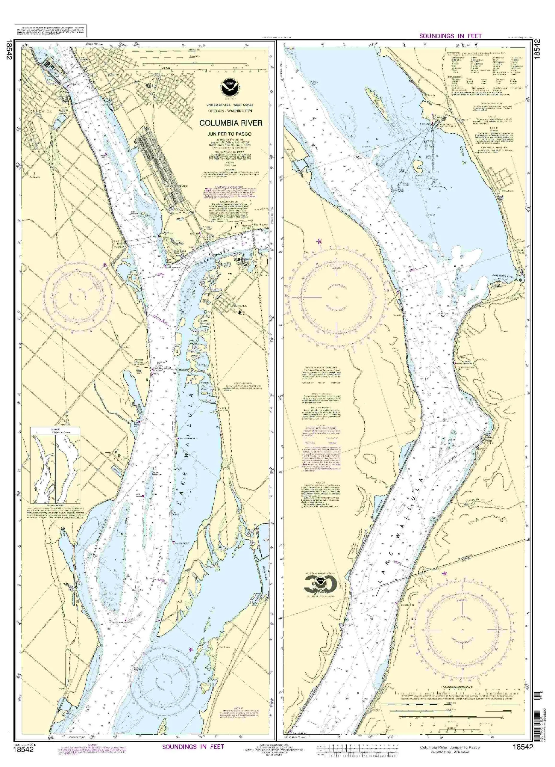
Introducing the NOAA Nautical Chart covering the Columbia River from Juniper to Pasco. This essential tool for mariners offers the most current and precise navigation information available. The chart is produced by OceanGrafix, a trusted name in marine navigation, ensuring that you receive only the highest quality products.
What sets this nautical chart apart is its commitment to accuracy and timeliness. Each chart is printed only after an order has been received. This means that you receive the very latest updates, reflecting all Notice to Mariners corrections that are necessary for safe navigation. This practice guarantees that your nautical chart is not only current but also compliant with both U.S. and international carriage requirements for commercial vessels.
The NOAA Nautical Chart for the Columbia River features a detailed scale of 1:20,000, allowing for precise navigation through the waters of this important region. Mariners can trust that this chart meets the rigorous standards set forth by the U.S. Coast Guard, making it an essential part of any vessel’s navigation equipment.
| Chart Coverage | Columbia River Juniper to Pasco |
| Scale | 1:20,000 |
| Size | 28.45′ x 39.19′ |
| Approval | U.S. Coast Guard Approved |
With the OceanGrafix NOAA Nautical Chart, you’re not just purchasing a piece of paper; you’re investing in safety and peace of mind while navigating the waterways. The detailed coverage ensures that you have all the necessary information at your fingertips, whether you are a seasoned mariner or a recreational boater.
Don’t compromise on safety. Equip your vessel with the most reliable nautical charts available. Order your NOAA Nautical Chart for the Columbia River from Juniper to Pasco today and navigate with confidence!


Reviews
There are no reviews yet.