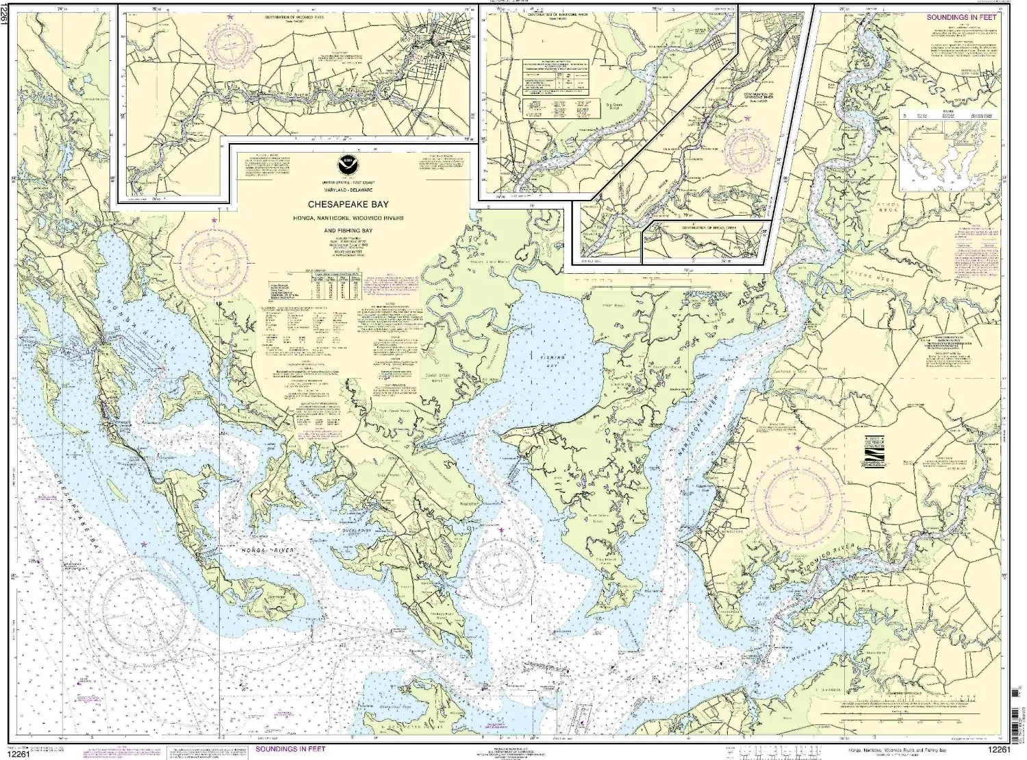
Navigate the waters confidently with the NOAA Nautical Chart covering the Honga, Nanticoke, Wicomico Rivers and Fishing Bay. This meticulously crafted chart is an essential tool for mariners, ensuring that you have the most accurate and up-to-date information at your fingertips. With a scale of 1:40000, you can easily read and interpret the details necessary for safe navigation.
The chart measures 35.63 inches in height and 47.47 inches in width, providing ample information without compromising on readability. Each chart is printed only after an order has been received, guaranteeing that you receive the latest data available. This feature is crucial for those who rely on precise navigation information, as it includes all Notice to Mariners corrections, ensuring that your chart is as current as possible.
What sets this NOAA-approved nautical chart apart is its compliance with U.S. and international carriage requirements for commercial vessels. It has received the endorsement of the U.S. Coast Guard, making it a trusted resource for both recreational and commercial mariners. Whether you are planning a fishing trip, a leisurely cruise, or require it for commercial navigation, this chart meets the highest standards of accuracy and reliability.
In addition to its practical features, the chart also boasts high-quality printing, ensuring durability and clarity. The colors and details are designed to withstand the rigors of the marine environment, making it an ideal companion for your boating adventures. You can easily fold it to store away or display it on your boat as a decorative piece that highlights your passion for the sea.
| Feature | Details |
| Scale | 1:40000 |
| Dimensions | 35.63′ H x 47.47′ W |
| Approval | NOAA & U.S. Coast Guard approved |
| Corrections | All Notice to Mariners applied |
| Carriage Requirements | Meets U.S. and international standards |
In conclusion, investing in the NOAA Nautical Chart for the Honga, Nanticoke, Wicomico Rivers and Fishing Bay is a decision that will enhance your navigation experience. With its up-to-date information, high-quality print, and compliance with safety standards, this chart is not just a tool but a partner in your maritime adventures. Whether you are a seasoned mariner or just starting, this chart will serve you well on your journeys across the waters.


Reviews
There are no reviews yet.