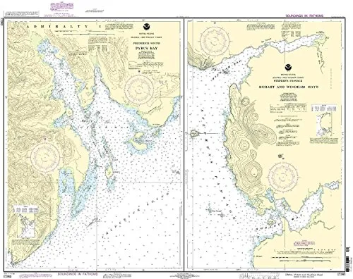
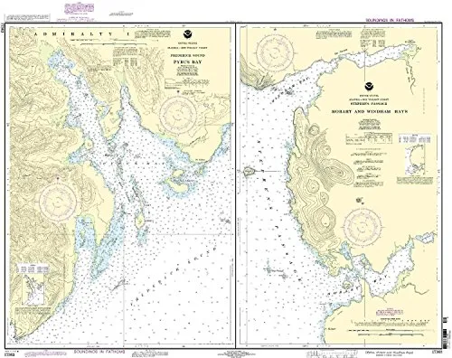
The NOAA Pybus Bay Nautical Chart 17363 is an essential tool for both commercial and recreational mariners navigating the waters of Frederick Sound, Hobart, and Windham Bays. Designed with precision and accuracy, this chart is printed on demand and incorporates all recent updates from the Notice to Mariners (NTM), ensuring you have the most current information at your fingertips.
OceanGrafix, in partnership with the National Oceanic and Atmospheric Administration (NOAA), offers these charts to guarantee compliance with both U.S. and international regulations. Specifically, they meet the standards set forth in SOLAS Chapter V Regulation 19.2.1.2, which outlines the necessary carriage requirements for commercial vessels. This commitment to quality ensures that mariners can navigate confidently and safely.
| Chart Title | NOAA Pybus Bay Nautical Chart 17363 |
| Features |
|
| Purpose | Designed for safe navigation in commercial and recreational contexts |
Using the NOAA Pybus Bay Nautical Chart 17363 not only elevates your navigation experience but also aligns with the highest standards of maritime safety. The chart’s ability to integrate the latest updates means that you can trust the information you’re using for your voyages. Whether you’re a seasoned sailor or a novice, this chart is crafted to fulfill your navigational needs.
In conclusion, the NOAA Pybus Bay Nautical Chart 17363 is more than just a map; it is a comprehensive resource that provides the clarity and precision necessary for safe maritime travel. Its on-demand printing feature allows you to obtain this vital navigational aid quickly, ensuring you’re always prepared for your next journey.


Reviews
There are no reviews yet.