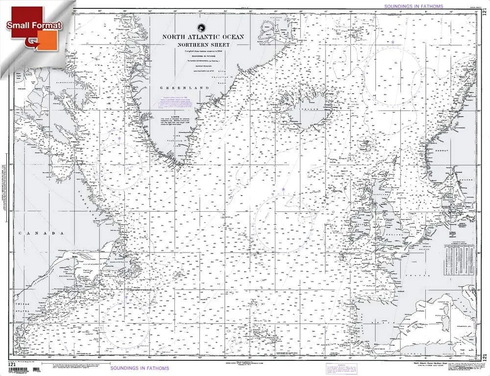
Discover the vibrant and intricate details of the North Atlantic Ocean with the NGA Chart 121, expertly crafted by Paradise Cay Publications. This chart serves as an invaluable resource for mariners navigating these waters, offering a precise representation of the region’s geographical features. Constructed from high-quality, waterproof, and tear-resistant material, this chart guarantees durability and resilience against the elements, making it an ideal choice for both professional and recreational use.
One of the standout features of the NGA Chart 121 is its commitment to quality. Each chart is printed on demand, utilizing the most recent data provided by the National Oceanic and Atmospheric Administration (NOAA). This ensures that users receive the most up-to-date information available, which is essential for safe navigation. However, it’s important to note that NGA charts are not automatically updated; mariners are responsible for keeping their charts current by referring to the Notice to Mariners (NTM).
| Feature | Description |
| Material | Waterproof and tear-resistant |
| Quality | Display quality, printed on demand |
| Update Responsibility | Mariner must use NTM for updates |
| Shipping | Shipped rolled in a cardboard tube |
Although the small format charts, such as NGA Chart 121, do not meet certain carriage requirements, they are perfect for display purposes. Whether you are a seasoned mariner looking for a reliable chart or a nautical enthusiast wanting to decorate your space, NGA Chart 121 promises to deliver clarity and detail in every aspect.
In conclusion, investing in the NGA Chart 121 by Paradise Cay Publications ensures that you have a reliable and high-quality representation of the North Atlantic Ocean. With its carefully designed features aimed at enhancing your navigation experience, this chart is a must-have for anyone venturing into these waters.


Reviews
There are no reviews yet.