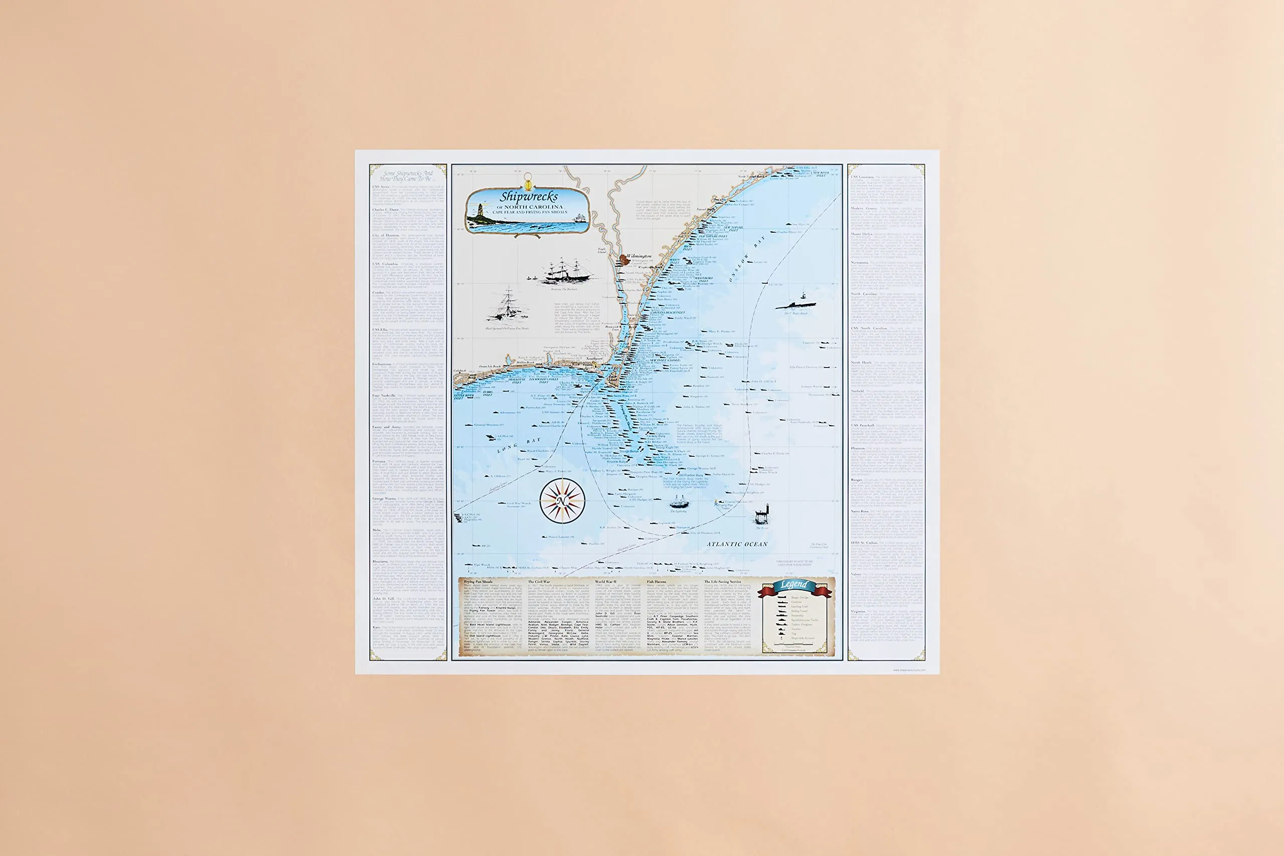
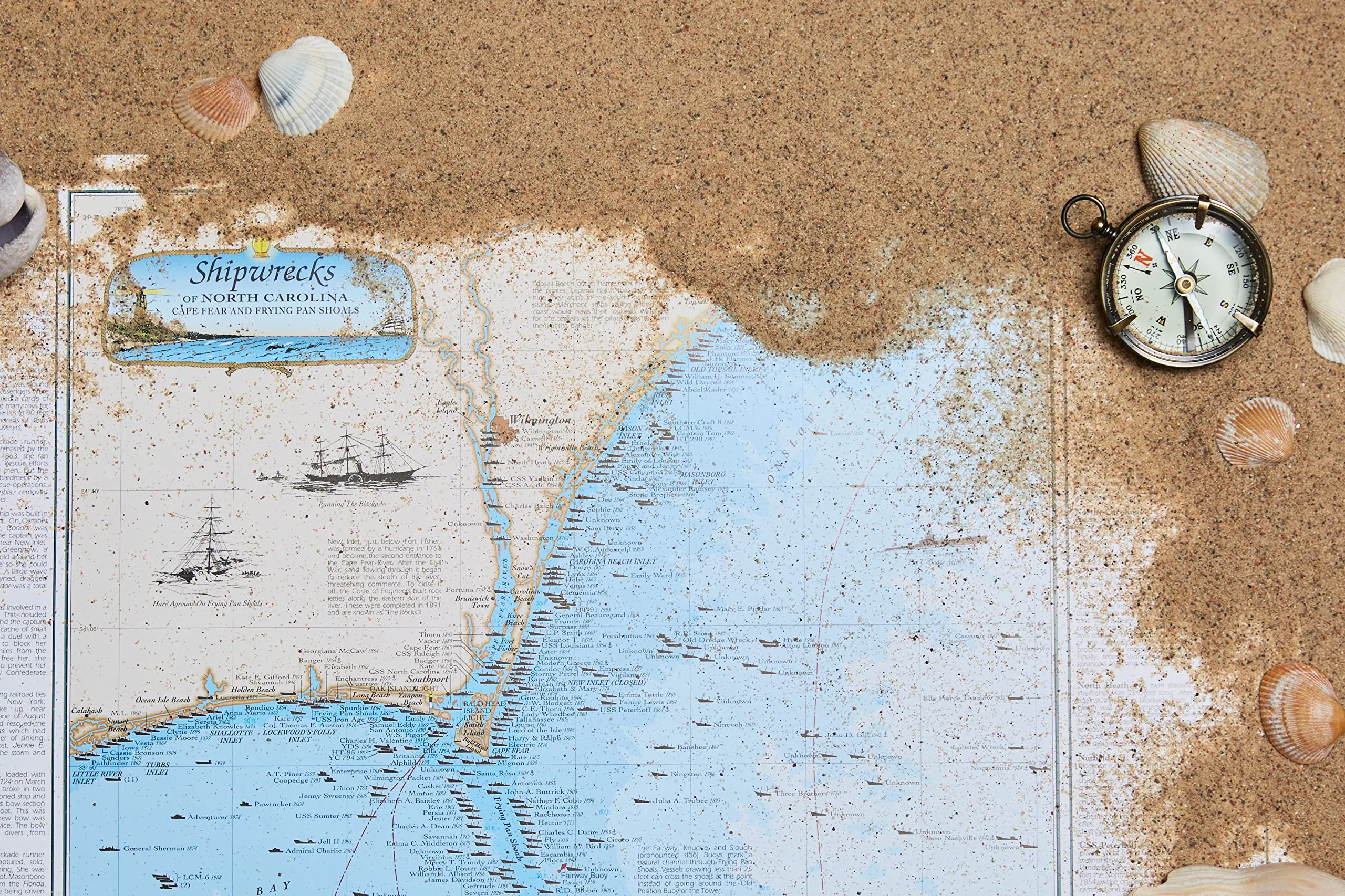
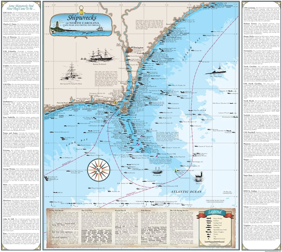
Discover the maritime history of North Carolina through the Sealake Products North Carolina Shipwreck Chart. This comprehensive and beautifully designed laminated chart measures 18 1/2′ x 20 3/4′ and showcases the Cape Fear region, highlighting over 240 shipwrecks that tell the stories of the past.
Each shipwreck on the chart is not just a dot on a map; it represents a rich history filled with adventure, tragedy, and intrigue. The chart features detailed illustrations of various Civil War ships alongside a collection of compelling narratives. Among these is the story of the Condor, a fascinating side-wheel steamship built in Scotland for the Confederate government.
On October 1, 1864, the Condor found itself in a perilous situation as it approached New Inlet. It was pursued by the USS Nipon, a Union steamship. Although the captain managed to evade capture, the vessel ultimately ran aground. Adding to the drama, one of the passengers, Rose O’Neal Greenhow, a notorious Confederate spy, was carrying a substantial amount of gold intended for the Confederate government. Unfortunately, a large wave capsized the boat, leading to Mrs. Greenhow’s tragic drowning as she was pulled under by the weight of her gold.
This chart is not just a map but a piece of art that captures the essence of maritime history. It includes vibrant colors and intricate details that make it a perfect addition to any history enthusiast’s collection or a thoughtful gift for those who appreciate nautical narratives.
| Product Features | Details |
| Size | 18 1/2′ x 20 3/4′ |
| Material | Laminated |
| Shipwrecks | Over 240 |
| Historical Context | Includes Civil War shipwrecks and stories |
| Made In | USA |
The Sealake Products North Carolina Shipwreck Chart is a unique educational tool that appeals to students, educators, and anyone interested in the rich maritime history of the North Carolina coast. It is perfect for framing or displaying in a classroom, office, or personal study. The combination of historical accuracy, artistic interpretation, and engaging stories makes this chart a must-have for collectors and history buffs alike.
Whether you’re looking to enhance your knowledge of shipwrecks or simply want to appreciate the artistry of maritime illustrations, this chart provides an engaging experience. The stories woven into each shipwreck location offer a glimpse into the past, making history come alive in a way that is both informative and captivating.
In conclusion, the Sealake Products North Carolina Shipwreck Chart is more than just a decorative item; it is a window into the past, providing insights into the maritime adventures and tragedies that have shaped the North Carolina coast. Don’t miss out on the opportunity to own a piece of this fascinating history.




Reviews
There are no reviews yet.