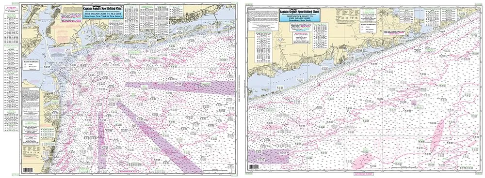
Introducing the Off Coastal New York Laminated Nautical Navigation and Fishing Chart, expertly created by Captain Segull’s Nautical Sportfishing Charts. This chart, designated as Chart # ONY59, is an essential tool for any angler looking to enhance their fishing experience along the coastal waters of New York.
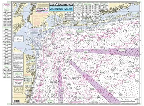
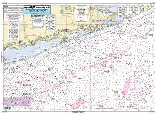
Designed with the avid fisherman in mind, this laminated fishing chart is double-sided, providing detailed information on the best fishing spots, wrecks, and reefs that dot the waters from Shinnecock, NY to Seagrit, NJ. Measuring 19.5 inches by 26.5 inches, it is the perfect size for easy handling and visibility.
| Chart Features | Details |
| Laminated | Ensures durability and water resistance, perfect for marine environments. |
| Double-Sided | Offers comprehensive information on both sides, maximizing your navigation capabilities. |
| GPS Coordinates | Shows fishing areas, wrecks, reefs, and local names with GPS accuracy to the thousandths of a minute. |
| NOAA Charts Used | Utilizes NOAA Charts 12326 and 12353 for reliable navigation and fishing information. |
This chart stands out for its clarity and accessibility. The detailed features allow fishermen to easily locate prime fishing zones, understand local wrecks and reefs, and access amenities that enhance their fishing trips. With the Off Coastal New York fishing chart, you can confidently navigate the waters, knowing you have the best information at your fingertips.
Whether you are a seasoned angler or a novice fisherman, this chart is an invaluable resource for planning your next fishing adventure. The combination of detailed nautical information and ease of use makes it a must-have for anyone serious about fishing in the New York coastal waters.
Get ready to cast your line in the best spots with the Off Coastal New York laminated fishing chart. Explore the underwater landscape with confidence and make your fishing trips more successful and enjoyable.

Reviews
There are no reviews yet.