Discover the beauty and adventure of offshore fishing with our expertly crafted Offshore Gulf of Maine and Massachusetts Bay Nautical Navigation Chart by Captain Segull’s Nautical Sportfishing Charts. This exceptional chart, referred to as Chart # GMM17, is specifically designed for anglers and navigators who demand accuracy and detail in their maritime activities. Whether you are a seasoned fisherman or a novice, this chart serves as an invaluable resource for your fishing expeditions.
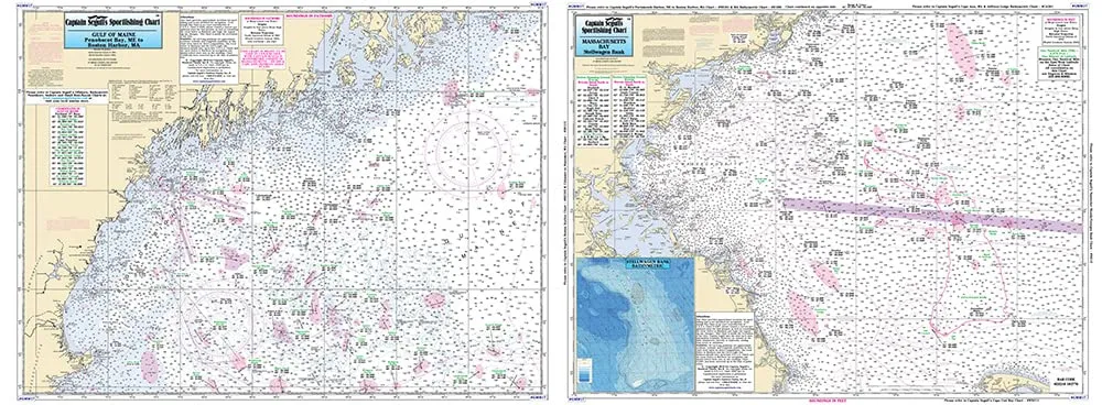
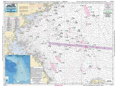
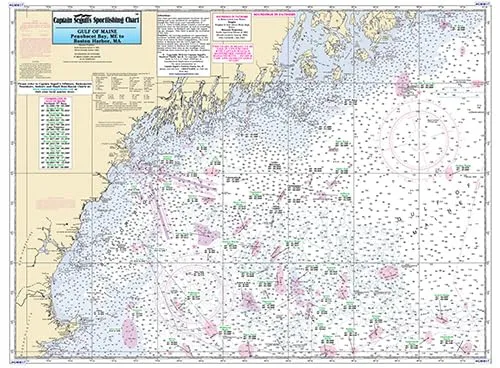
The chart features a two-sided design that provides comprehensive coverage of the Gulf of Maine. On Side A, you will find detailed information from Penobscot Bay to Boston, Massachusetts Bay. Side B extends further south, covering the area from Boston down to Provincetown and Duxbury, Massachusetts. This expansive reach ensures that you have the information you need, no matter where your fishing adventures take you.
One of the standout features of this chart is its laminated finish. The durable laminate not only protects against water damage but also makes it easy to handle in various weather conditions. Whether you are on a small boat or a larger vessel, this chart can withstand the rigors of offshore fishing.
In addition to its durability, the chart is packed with essential fishing information. It showcases key fishing areas, wrecks, reefs, and local names, all meticulously plotted for your convenience. You will also find GPS coordinates provided to the thousandths of a minute, ensuring that you can navigate with precision and confidence.
Dimensions play a crucial role in usability, and this chart measures an impressive 19.5 inches by 26.5 inches. This size strikes a perfect balance between being large enough to display detailed information clearly while still being compact enough to fit conveniently aboard your boat.
| Attribute | Description |
| Brand | Captain Segull’s Sportfishing Charts |
| Size | 19.5′ x 26.5′ |
| Features | Laminated, double-sided, detailed fishing areas, GPS coordinates |
| Coverage | Gulf of Maine from Penobscot Bay to Boston, Massachusetts Bay south to Provincetown |
This chart is not just a tool; it is a gateway to an unforgettable fishing experience. Each detail has been thoughtfully included to ensure that you can maximize your time on the water. With its user-friendly design and rich information, you are well-equipped to explore the offshore waters.
In conclusion, the Offshore Gulf of Maine/Massachusetts Bay Nautical Navigation & Fishing Chart is an essential companion for any fishing enthusiast. Its combination of durability, detailed information, and user-friendly design makes it a must-have for your next adventure on the water. Don’t miss the opportunity to enhance your fishing experience with this top-quality chart.




Reviews
There are no reviews yet.