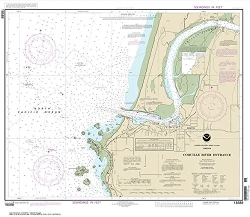
Navigating the waters around the Coquille River Entrance has never been easier or more reliable than with the NOAA Chart 18588, published by Paradise Cay Publications, Inc. This meticulously crafted chart measures 25.1 inches by 28.9 inches and is designed for both professional mariners and recreational boaters alike. Knowing that you are utilizing a chart that is always printed on demand with the latest data from NOAA ensures that you have the most accurate information at your fingertips.
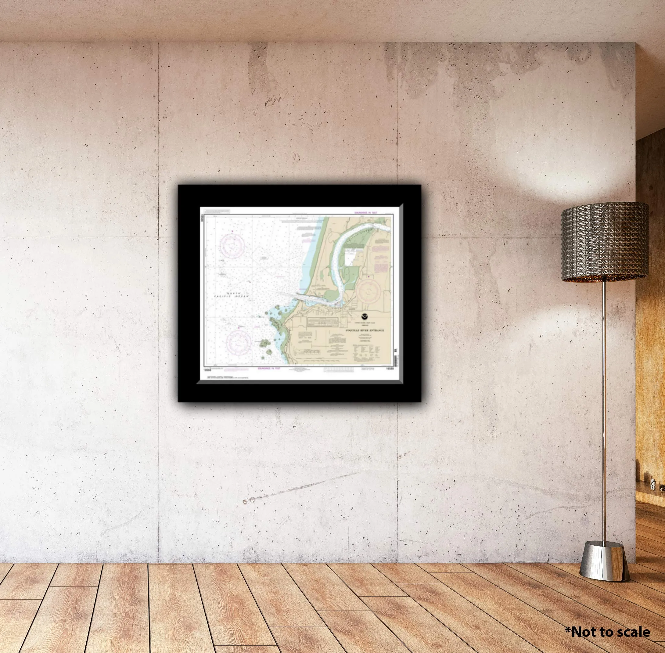
One of the standout features of this chart is its high-quality water-resistant paper, which means it can handle the marine environment with ease. Whether you are plotting your course in the sun or in the rain, this chart is prepared to withstand the elements. Furthermore, it arrives rolled rather than folded, preserving its quality and ensuring that you have a display-quality product right out of the package.
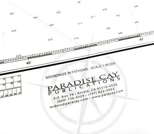
Paradise Cay Publications employs proprietary methods and materials that set their charts apart. Each chart is certified by NOAA and the U.S. Coast Guard for carriage on commercial vessels, providing you with peace of mind that you are using a product that meets stringent national standards. This certification process involves a thorough vetting of the chart agent, ensuring that the charts provided are of acceptable scale and print quality.
It’s important to note that Ruby & Rudy’s Books is the exclusive seller of this brand of nautical charts. This exclusivity guarantees that you are purchasing an authentic product, as other sellers utilizing this listing may not be authorized and might offer inferior alternatives. By choosing to buy from Ruby & Rudy’s, you can be confident that you are getting a certified NOAA chart that meets all necessary requirements for navigation.
As an official NOAA-certified agent, Paradise Cay Publications is entrusted with the responsibility to provide high-quality nautical charts that meet regulatory standards. NOAA provides digital images to its certified chart agents, who must pass a rigorous evaluation process. This assessment includes submitting samples of charts for inspection, ensuring they can withstand erasing and remain usable for plotting routes.
The paper used for these charts is not only water-resistant but also durable enough to endure the wear and tear of regular use, making it an ideal choice for mariners who rely on their charts for safe navigation. When you purchase a chart from a certified NOAA Chart Agent like Paradise Cay Publications, you receive a product that carries the NOAA logo, signifying its authenticity and quality.
Explore our complete line of chart products, which includes a variety of formats to suit all your nautical needs. Whether you require paper charts, waterproof charts, small format charts, booklet charts, or book charts, we have a solution for you. Each type of chart is crafted with the same attention to detail and commitment to quality as the NOAA Chart 18588, ensuring that no matter your choice, you will receive a reliable navigation tool.
| Feature | Description |
| Size | 25.1 x 28.9 inches |
| Material | High-quality water-resistant paper |
| Certification | NOAA and U.S. Coast Guard certified |
| Packaging | Arrives rolled, not folded |
In conclusion, the Paradise Cay NOAA Chart 18588 is an essential tool for anyone navigating the Coquille River Entrance. Its certified quality, water-resistant material, and accurate data make it a trusted choice for both commercial and recreational use. Equip yourself with the best nautical chart available and experience the peace of mind that comes from navigating with confidence.




Reviews
There are no reviews yet.