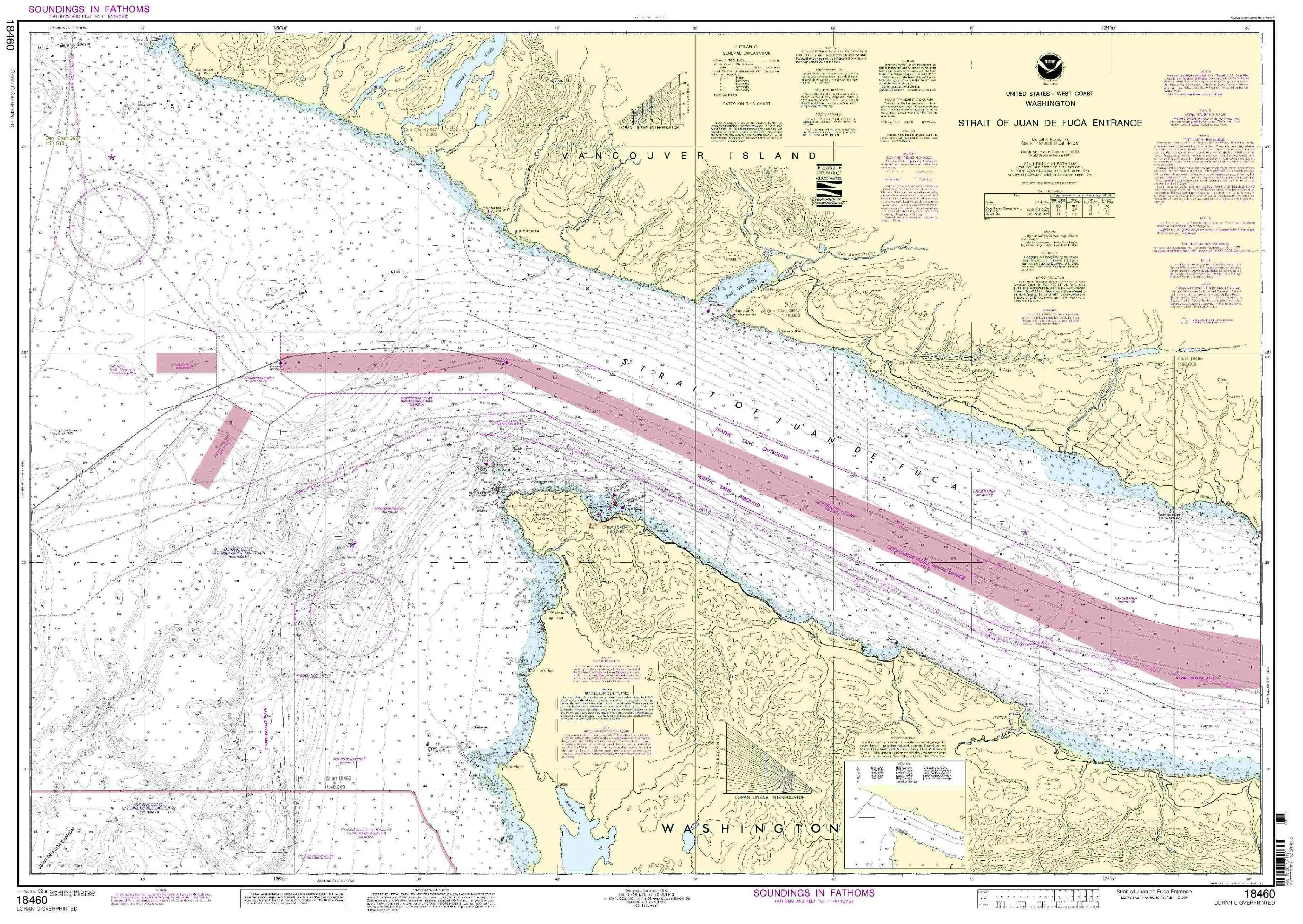
Discover the essential nautical chart for Pascagoula Harbor, designed specifically for mariners who demand the best in navigation tools. OceanGrafix delivers the most current, NOAA-approved nautical charts available, ensuring that you have the most accurate information at your fingertips.
Each chart is printed only after an order has been received, which means you receive the most up-to-date information every time. This process not only guarantees accuracy but also allows for the inclusion of all Notice to Mariners corrections, ensuring that your chart is as precise as possible.
| Chart Scale | 1:20,000 |
| Size (inches) | 34.67 x 48.24 |
| Approval | U.S. Coast Guard Approved |
| Requirements | Meets U.S. and International Carriage Requirements |
This chart is not just a map; it is a vital tool for safe navigation in Pascagoula Harbor. With a scale of 1:20,000, it provides detailed coverage, allowing mariners to navigate with confidence. Whether you are a seasoned sailor or a novice navigating the waters, this chart is essential for your journey.
OceanGrafix takes pride in offering the highest quality nautical charts available. Each chart is crafted to meet stringent standards set forth by maritime authorities and is recognized by the U.S. Coast Guard. This means that you can trust this chart to be compliant with all necessary regulations for commercial vessels.
As you prepare for your next maritime adventure, consider the importance of having an accurate and reliable nautical chart. The Pascagoula Harbor chart from OceanGrafix is designed with mariners in mind. It combines quality, accuracy, and practicality, making it an indispensable resource for anyone navigating these waters.
Enhance your navigation with the Pascagoula Harbor NOAA Nautical Chart. With its detailed coverage, updated information, and compliance with maritime regulations, it is the perfect companion for any maritime expedition.


Reviews
There are no reviews yet.