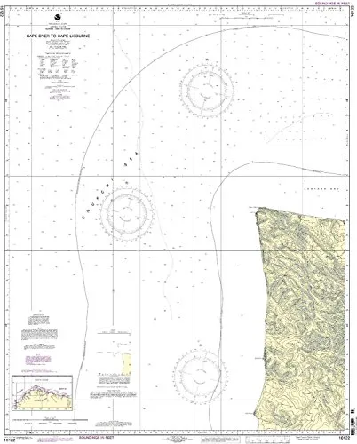
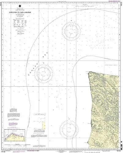
The Print-On-Demand nautical chart from OceanGrafix, featuring the region from Cape Dyer to Cape Lisburge, is an essential tool for mariners navigating the Pacific Northwest and Alaska. This chart is the 5th edition and is designed to meet the needs of both commercial and recreational sailors.
One of the standout features of this chart is its 1:50000 scale, which provides a detailed view of the area’s coastal waters. The dimensions are 44.09 inches in height and 35.71 inches in width, making it a substantial resource for onboard use. Mariners can expect high-quality printing, as charts are only printed after an order is received, ensuring that they always receive the most current information available.
OceanGrafix is committed to providing mariners with accurate and reliable data. All Notice to Mariners corrections are applied to this chart, which is crucial for safe navigation. This means that any updates or changes in maritime conditions are reflected in the charts you receive, significantly enhancing your navigation experience.
Furthermore, this chart meets both U.S. and international carriage requirements, making it suitable for a wide range of vessels. It is also approved by the U.S. Coast Guard, ensuring compliance with safety standards essential for maritime operations.
| Feature | Details |
|---|---|
| Model | 16122 |
| Brand | NOAA |
| Scale | 1:50000 |
| Dimensions | 44.09” H x 35.71” W |
| Usage | Suitable for commercial vessels and recreational use |
In conclusion, if you’re looking for a reliable and current nautical chart for the Cape Dyer to Cape Lisburge region, this Print-On-Demand chart from OceanGrafix is an excellent choice. It combines quality, accuracy, and compliance with maritime regulations, ensuring that you can navigate with confidence.


Reviews
There are no reviews yet.