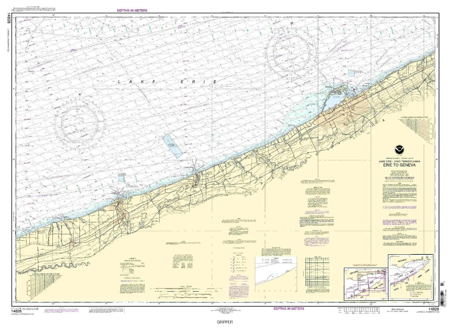
Introducing the Print-On-Demand Nautical Chart from Erie to Geneva, 6th Edition, Model Number 14828, brought to you by NOAA. This chart is essential for mariners who require accurate and up-to-date navigation tools. Crafted with precision, this chart ensures that all Notice to Mariners corrections are applied, providing you with the most reliable information for your maritime journeys.
One of the standout features of this chart is its printing process. OceanGrafix, the manufacturer, prints each chart only after an order has been received. This approach guarantees that you receive a chart that reflects the most current data available, a crucial aspect in the ever-changing maritime environment.
This particular nautical chart represents the Eastern U.S. and Canada region, with a scale of 1:100000. It measures 32.59 inches in height and 45.98 inches in width, making it a substantial tool for navigation. Whether you are planning a voyage or simply need a reference for your marine activities, this chart is designed to meet your needs.
Moreover, the chart complies with U.S. and international carriage requirements for commercial vessels. This compliance ensures that it meets the standards set forth by maritime authorities, making it a trusted choice for both recreational and commercial mariners. The U.S. Coast Guard has approved this chart, reinforcing its reliability and importance in safe navigation.
| Product Attributes | Details |
| Model | 14828 |
| Edition | 6th |
| Scale | 1:100000 |
| Dimensions | 32.59′ H x 45.98′ W |
| Approval | U.S. Coast Guard Approved |
| Manufacturer | NOAA via OceanGrafix |
In conclusion, the Print-On-Demand Nautical Chart from Erie to Geneva is not just a chart; it is a vital tool for ensuring safe and effective navigation. With its commitment to quality, up-to-date information, and adherence to maritime standards, it is a must-have for any mariner. Make your nautical adventures safer and more enjoyable with this essential chart.


Reviews
There are no reviews yet.