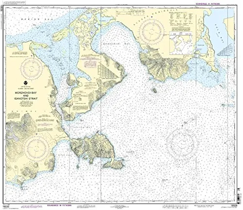
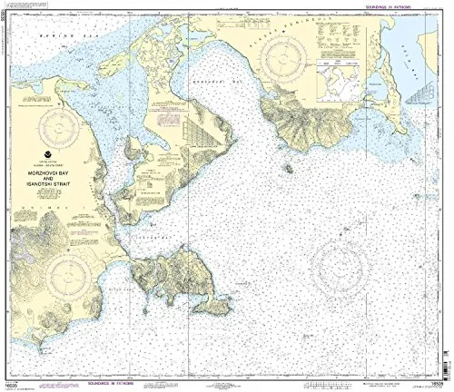
Welcome to the world of nautical exploration with our premium Print-On-Demand nautical chart for Morzhovoi Bay and Isanotski Strait. This 12th Edition chart, model number 16535, is meticulously crafted by NOAA and is designed to meet your marine navigation needs. With a scale of 1:80660, this chart covers the stunning Pacific Northwest and Alaska region.
One of the key features of this chart is that it is produced only after an order is placed. This means that you receive the most up-to-date information available, which is crucial for safe navigation. Additionally, all Notice to Mariners corrections are applied, ensuring that your chart is accurate and reliable.
| Size: | 34.19” H x 39.2” W |
| Brand: | NOAA |
| Model: | 16535 |
| Scale: | 1:80660 |
| Features: | NOAA-approved, commercial vessel compliant, U.S. Coast Guard approved. |
This chart is not just a piece of paper; it is an essential tool for mariners. It meets U.S. and international carriage requirements for commercial vessels, making it a trusted resource for navigating the intricate waterways of the Pacific Northwest and Alaska. The approval by the U.S. Coast Guard further ensures its reliability.
By choosing our Print-On-Demand nautical chart, you are investing in safety and accuracy. The chart is printed on high-quality materials, designed to withstand the marine environment. Whether you are a seasoned sailor or a recreational boater, having the right chart can make all the difference in your journey.
In conclusion, the Print-On-Demand nautical chart of Morzhovoi Bay and Isanotski Strait is an indispensable asset for anyone navigating these waters. With its up-to-date information, compliance with all necessary regulations, and high-quality print, it provides peace of mind and ensures a safe voyage.


Reviews
There are no reviews yet.