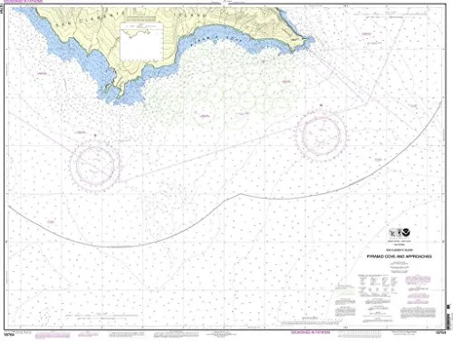
Discover the San Clemente Island Pyramid Cove Nautical Chart, a must-have for both commercial and recreational mariners. Produced by NOAA in partnership with OceanGrafix, this chart stands out due to its commitment to accuracy and reliability. Printed on-demand, it ensures that you receive the most up-to-date information available at the time of printing. Each chart includes all relevant Notice to Mariners (NTM) corrections, making it a critical resource for safe navigation.
The National Oceanic and Atmospheric Administration (NOAA) has established stringent standards for nautical charts, and this product fulfills those requirements. Specifically, it meets the definitions outlined in SOLAS (Safety of Life at Sea) Chapter V Regulation 2.2. Furthermore, it adheres to the carriage requirements specified in SOLAS Chapter V Regulation 19.2.1.404, which is crucial for commercial vessels operating in U.S. waters.
| Feature | Description |
| Printing Method | On-demand, ensuring the latest updates |
| Approval | NOAA and U.S. Coast Guard approved |
| Corrections | All NTM corrections applied before printing |
| Regulatory Compliance | Meets SOLAS Chapter V requirements |
| Target Audience | Commercial and recreational mariners |
Whether you are navigating the waters around San Clemente Island or planning your next maritime adventure, this chart is an essential tool for ensuring safe and effective navigation. The combination of NOAA’s expertise and OceanGrafix’s dedication to quality produces a product that you can trust. With the latest updates incorporated, you can sail with confidence, knowing that you have the best information at your fingertips.
In conclusion, the San Clemente Island Pyramid Cove Nautical Chart is not just a chart; it is an investment in your safety and success on the water. With its NOAA approval and compliance with international maritime regulations, this chart is designed to support all your navigational needs. Don’t compromise on safety—choose the chart that mariners trust.


Reviews
There are no reviews yet.