$29.95
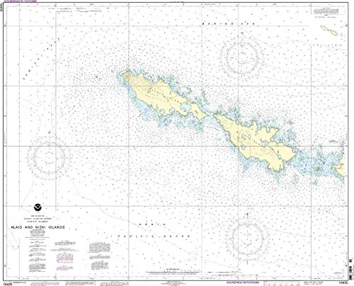
Discover the NOAA-approved Semichi Islands Nautical Chart, featuring clear details and accuracy for safe navigation in the Pacific Northwest and Alaska.
Introducing the Semichi Islands Nautical Chart, a reliable tool for mariners in the Pacific Northwest and Alaska regions. This chart, featuring the Alaid and Nizki Islands, is produced by OceanGrafix and is designed with the utmost attention to detail. It ensures that sailors have access to the most current information, making it an essential item for any boating or navigation enthusiast.
What sets this chart apart is its NOAA approval, confirming its adherence to the highest standards of accuracy and reliability. Each chart is printed only after an order is received, which guarantees that you receive the most up-to-date information available. This process ensures that all Notice to Mariners corrections are applied, meaning you can navigate with confidence knowing that your chart reflects the latest maritime changes.
The Semichi Islands Nautical Chart is designed to meet U.S. and international carriage requirements for commercial vessels. Additionally, it is U.S. Coast Guard approved, making it a trusted resource for both professional mariners and recreational boaters alike.
| Product Features | Details |
| Scale | 1:20000 |
| Dimensions | 36.31” H x 43.31” W |
| Region | Pacific Northwest/Alaska |
| Approval | NOAA and U.S. Coast Guard |
| Printing Method | Printed upon order |
| Correction Updates | All Notice to Mariners corrections applied |
This chart not only serves as a functional tool but also as a piece of art for your home or office. Its detailed representation of the Semichi Islands, Alaid, and Nizki Islands adds a touch of elegance and sophistication to any space. Whether you are planning a voyage or simply appreciate maritime beauty, this chart is sure to impress.
In conclusion, the Semichi Islands Nautical Chart is more than just a navigational aid; it is a commitment to safety and precision at sea. Equip yourself with this essential chart and navigate the waters of the Pacific Northwest and Alaska with confidence.
| brand |
|---|
Related products
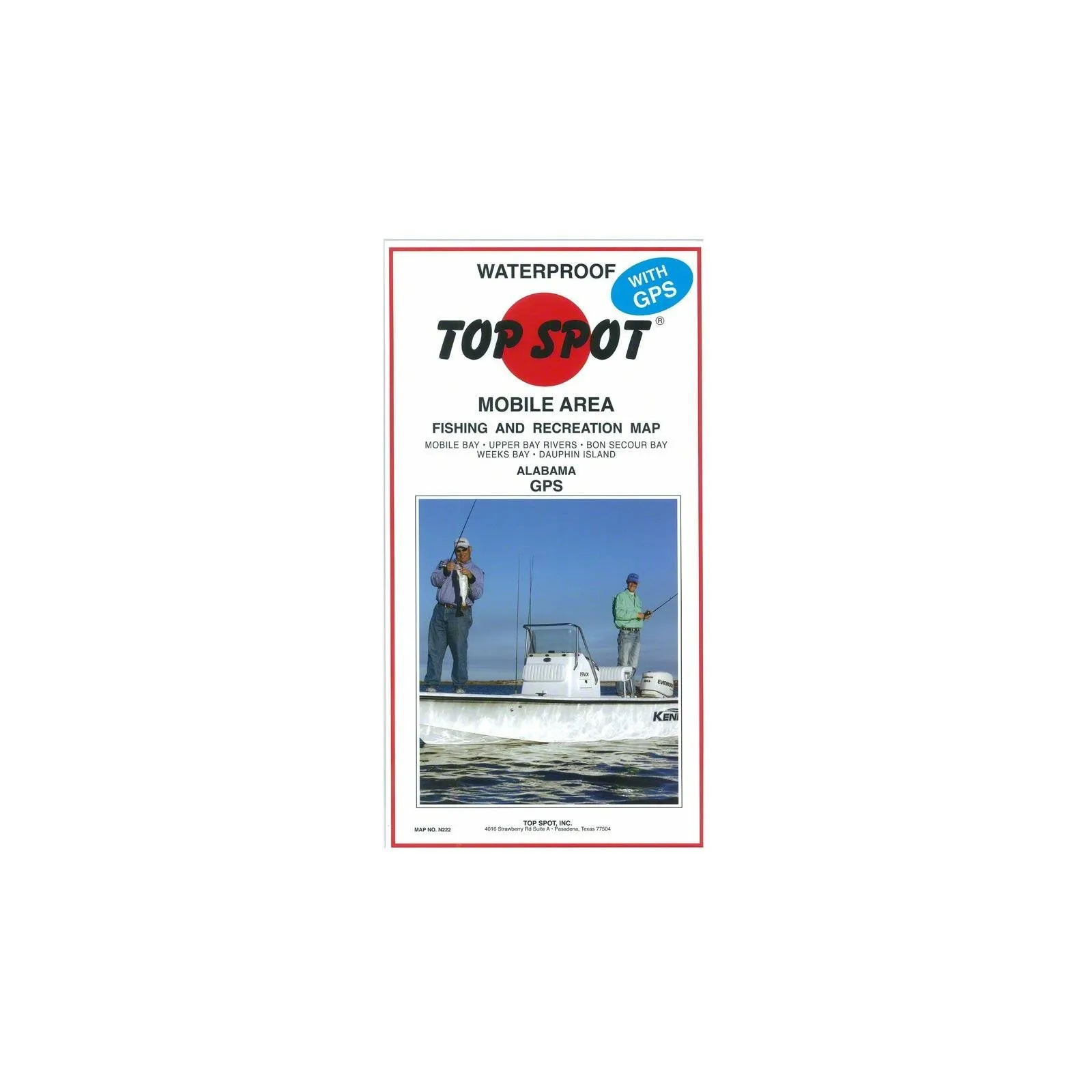
Fishing Map of Mobile Bay to Dauphin Island by Topspot – Perfect for Outdoor Enthusiasts
Galveston Waterproof Wade Fishing Chart with GPS Locations for Easy Access to Prime Spots
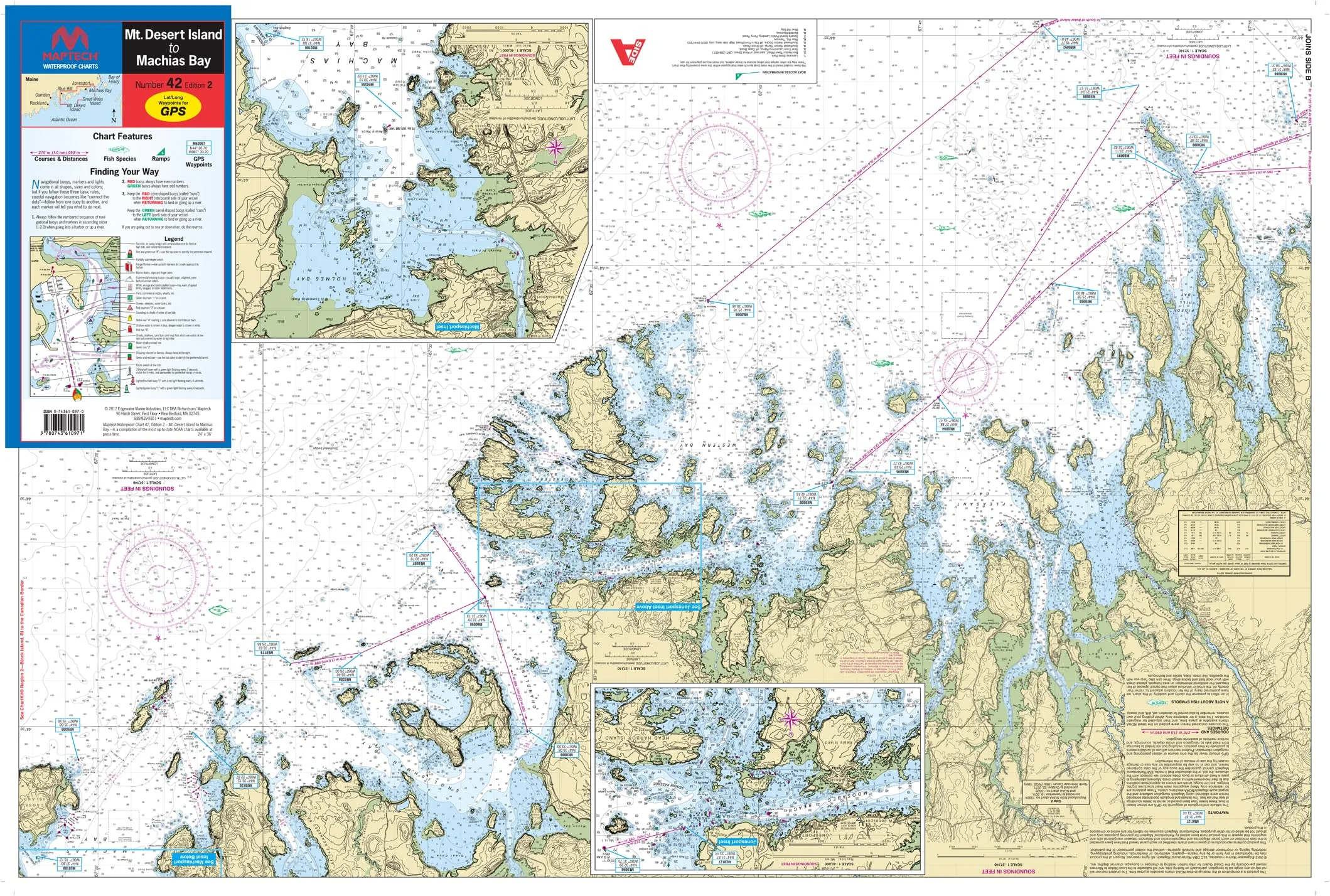
Mt. Desert Island to Machias Bay Waterproof Chart #42 2nd Ed – 24’x36′ – Detailed Navigation Guide
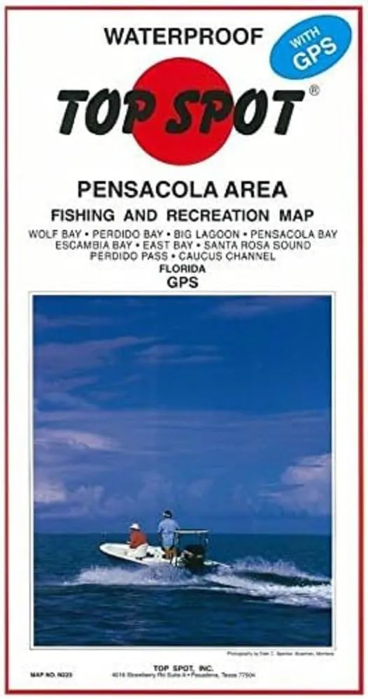
Topspot Waterproof Fishing Map N223 for Pensacola Area – Detailed GPS Coordinates Included
Overview
With Trout Derby, you can trust that you are investing in quality fishing equipment that enhances your experience on the water. Our commitment to excellence ensures that every product we offer meets the highest standards, providing you with the reliability and performance necessary for successful fishing excursions.
Our Services
Quick Links
Newsletter
Signup our newsletter to get update information, news & insight
Copyright © 2007-2024 All rights reserved.



Reviews
There are no reviews yet.