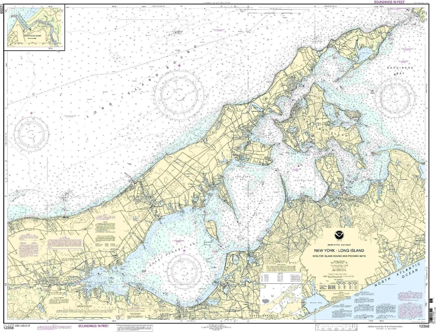
Discover the beauty and intricacies of Shelter Island Sound and Peconic Bays with our meticulously crafted nautical chart. This chart, provided by OceanGrafix, is specifically designed to meet the navigational needs of both recreational and commercial mariners. With a scale of 1:40000, it offers a detailed representation of the eastern coast of the U.S. and Canada, ensuring you have the most reliable information at your fingertips.
One of the standout features of this chart is that it is printed only after an order has been received. This means you will always receive the most up-to-date information available. All Notice to Mariners corrections are applied prior to printing, which guarantees that your navigation is based on the latest data. This is crucial for safe and effective maritime travel.
The chart measures 36.36 inches in height and 45.21 inches in width, making it a substantial addition to your navigational tools. It not only serves as a practical guide but also as a beautiful piece of art that reflects the stunning coastline of Long Island.
OceanGrafix’s nautical charts meet both U.S. and international carriage requirements for commercial vessels. They are also approved by the U.S. Coast Guard, ensuring that you are using a product that adheres to the highest safety standards.
In the following table, we summarize the key attributes of the Shelter Island Sound & Peconic Bays nautical chart:
| Feature | Description |
| Brand | NOAA |
| Scale | 1:40000 |
| Size | 36.36′ H x 45.21′ W |
| Updates | Printed after order, includes Notice to Mariners corrections |
| Approval | U.S. Coast Guard approved, meets commercial vessel requirements |
This chart is not just a tool; it’s an essential companion for anyone navigating these waters. Whether you’re planning a fishing trip, sailing, or just exploring the scenic beauty of Shelter Island Sound and Peconic Bays, this nautical chart will enhance your experience. Equip yourself with the best navigational aid available and sail with confidence.


Reviews
There are no reviews yet.