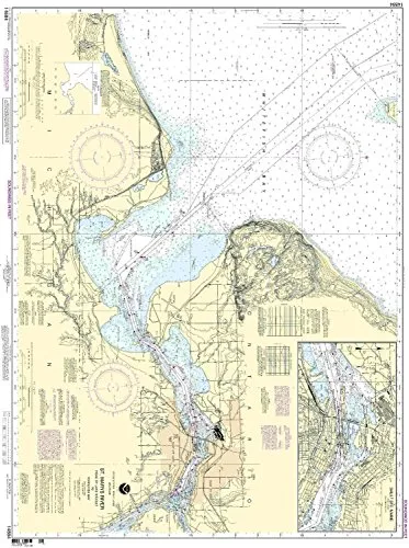
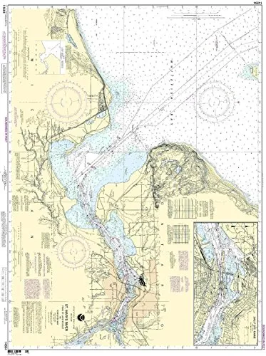
Introducing the St. Marys River Nautical Chart, a crucial tool for both commercial and recreational mariners navigating the waters from Nicolet to Whitefish Bay, Sault Ste. Marie. This chart, produced by NOAA in collaboration with OceanGrafix, is designed to meet the highest standards of accuracy and reliability. Printed on demand, it ensures that you have access to the most up-to-date nautical information available.
With the St. Marys River Nautical Chart, mariners can trust that all Notice to Mariners (NTM) corrections have been meticulously applied at the time of printing. This feature guarantees that users are navigating with the latest information, significantly enhancing safety and reliability on the water. The National Oceanic and Atmospheric Administration (NOAA) has continuously worked to provide the most accurate nautical charts, and this offering is no exception.
| Chart Features | Description |
| NOAA Approved | This chart meets all necessary U.S. and international maritime regulations. |
| On-Demand Printing | Ensures that charts are printed with the most current data available at the time. |
| All NTM Corrections Applied | Every chart is updated to incorporate the latest navigational changes. |
| Meets SOLAS Requirements | Complies with SOLAS Chapter V Regulation 19.2.1.4 for commercial vessels. |
| U.S. Coast Guard Approved | This chart is recognized and approved by the U.S. Coast Guard for safe navigation. |
Mariners utilizing this chart will find it to be an invaluable resource. The St. Marys River Nautical Chart not only meets the definition of a nautical chart as established in SOLAS Chapter V Regulation 2.2, but also adheres to the stringent carriage requirements set forth in SOLAS regulations. It is essential for anyone navigating these waters to be equipped with reliable and up-to-date information.
Whether you are a seasoned sailor or a novice boater, having the right nautical chart can make all the difference in your journey. This chart provides a clear depiction of the waterways, helping you to identify key navigational markers and avoid potential hazards. Its detailed layout and easy-to-read format ensure that it can be used effectively in various conditions.
Investing in the St. Marys River Nautical Chart means investing in safety and peace of mind. With its NOAA approval, on-demand printing, and comprehensive updates, you can be confident that you are navigating with the best information available. Don’t compromise your safety on the water; choose the St. Marys River Nautical Chart for your next adventure.


Reviews
There are no reviews yet.