Welcome to your ultimate boating companion, the Standard Navigation Chart for Penobscot Bay! This essential chart is designed specifically for boating enthusiasts navigating the beautiful waters of Camden and Rockport, Maine. Crafted with the utmost attention to detail, this chart promises both functionality and convenience, making it a must-have in your boating gear.
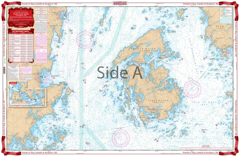
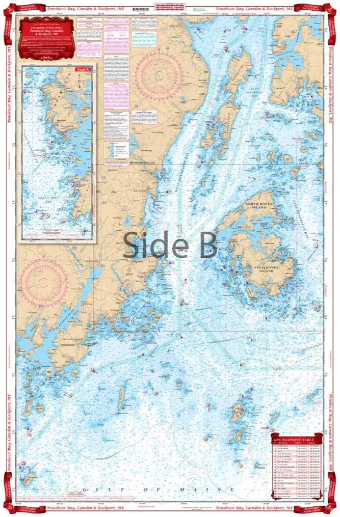
Our navigation chart features a unique two-sided design, ensuring that you have comprehensive coverage of the area. On one side, you’ll find an overall map stretching from Monhegan to Manticus Islands, and north to Castine. This side provides a grand view of the coastal waters, helping you to plan your journey effectively. The reverse side focuses on Vinalhaven and Rockland, delivering detailed insights into Camden and Rockport, with a handy inset specifically for Carvers Harbor.
One of the standout features of this chart is the inclusion of 43 GPS Waypoints. This makes it incredibly easy to program your GPS unit, allowing you to pinpoint useful locations throughout the area effortlessly. Whether you’re looking for a great fishing spot or a scenic anchorage, these waypoints will guide you to your destination with ease.
The chart is printed on waterproof and tear-resistant paper, ensuring its durability in the often unpredictable marine environment. This means you can rely on it during your adventures without worrying about wear and tear. The vibrant yellow land areas are easy to read, and the larger place names allow for quick reference while you’re navigating. No more squinting at tiny print!
Information from the reputable NOAA Charts #13302 and #13305 has been compiled into this chart, ensuring accuracy and reliability for your navigation needs. The chart’s dimensions are a generous 25 inches by 38 inches, offering ample space for detailed information without compromising on readability.
Not just practical, this navigation chart also makes an excellent decorative piece for your home or office. The bright colors and clear graphics make it suitable for framing, allowing you to showcase your love for boating and the beautiful state of Maine.
| Features | Details |
| Size | 25′ x 38′ |
| Material | Waterproof and Tear-Resistant Paper |
| Coverage | Overall from Monhegan to Manticus Islands and detailed Camden and Rockport |
| GPS Waypoints | 43 for easy programming |
| Chart Sources | NOAA Charts #13302 and #13305 |
In summary, the Standard Navigation Chart for Penobscot Bay is not just a map; it’s an essential tool for any Maine boater. Its combination of detailed coverage, durability, and user-friendly design makes it ideal for both seasoned sailors and newcomers alike. Don’t head out on the water without it!


Reviews
There are no reviews yet.