Discover the beauty of California’s waterways with the Standard Navigation Waterproof Chart, covering the San Joaquin River and Delta. This expertly designed chart measures 25 inches by 38 inches, making it both portable and easy to read. Its foldable design ensures that you can conveniently carry it on your adventures, whether you’re boating, kayaking, paddleboarding, or jet skiing.
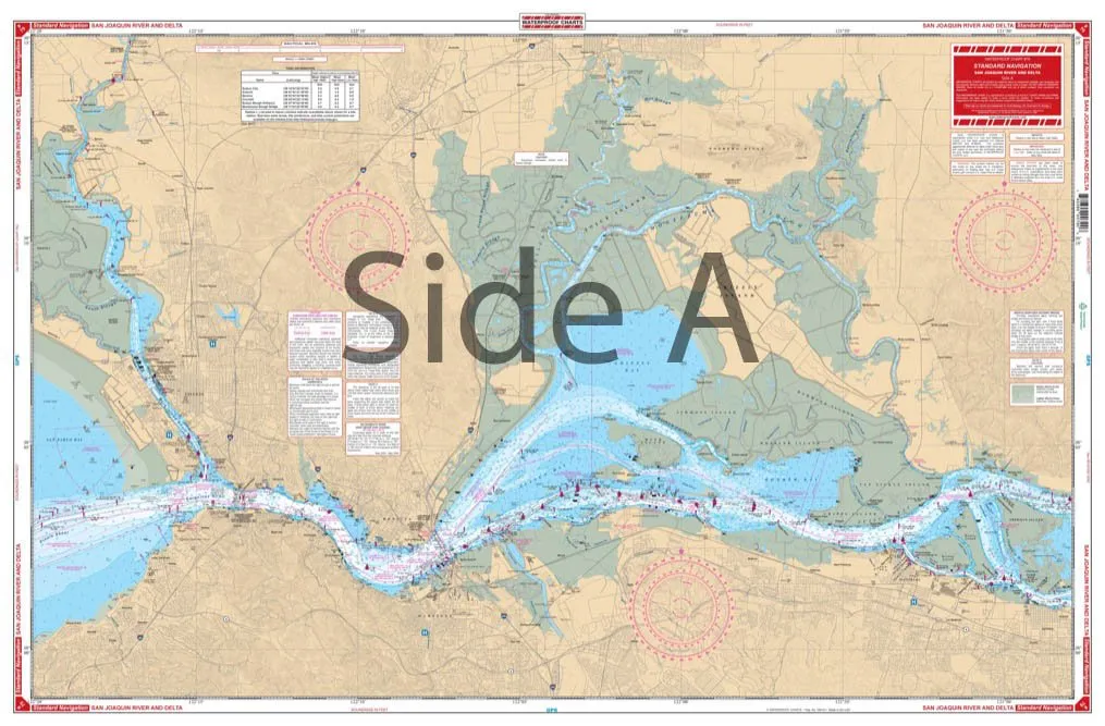
On Side A, the chart provides detailed navigation from Vallejo and Mare Island, extending all the way to Sherman Island. It captures essential waterways, including the Sacramento River, Suisun Slough, and Napa River, with key locations such as Pittsburg and Antioch highlighted for your convenience. The detailed information allows you to navigate these waters with confidence.
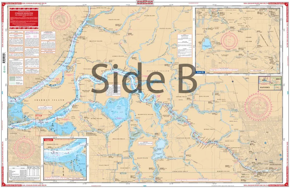
Turning to Side B, the chart follows the San Joaquin River upstream to Stockton, revealing numerous channels both north towards Staten Island and south to El Pescadero and Mossdale. This comprehensive coverage ensures that you won’t miss any crucial navigational points.
One standout feature of this waterproof chart is the inclusion of over 50 red designators indicating fueling facilities along the way. This vital information makes planning your trip much easier, ensuring that you have access to fuel when needed.
The chart also features a colored key and large print place names, which enhance usability and make it an excellent choice for those who might struggle with smaller print. Additionally, there is a detailed inset for the State Highway 160 bridge area, providing further navigational assistance.
The information contained within this chart is derived from four NOAA charts: #18651, #18654, #18656, and #18652, ensuring that you have the most accurate and reliable data at your disposal. The chart is based on the WGS84 – World Mercator Datum, a standard for nautical navigation.
This nautical map is not just a practical tool; it also makes for an attractive framed piece for your home or office, capturing the essence of California’s beautiful waterways. Whether you’re a seasoned navigator or a weekend adventurer, this waterproof chart is an essential companion for exploring the rivers and deltas of California.
In summary, the Standard Navigation Waterproof Chart for the San Joaquin River and Delta is an indispensable resource for anyone looking to explore California’s waterways. With its clear graphics, detailed information, and user-friendly design, navigating these rivers has never been easier. Equip yourself with this chart and set sail on your next adventure!




Reviews
There are no reviews yet.