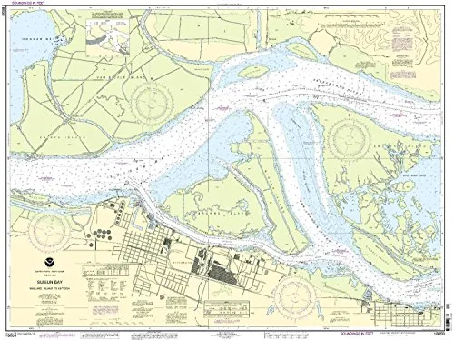
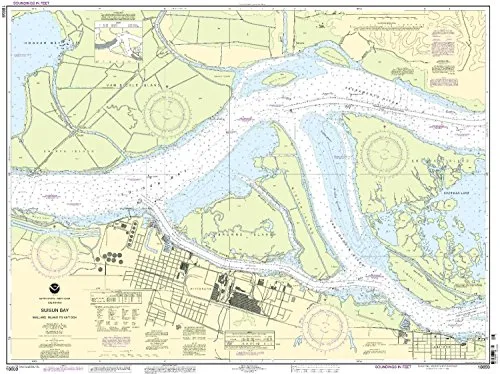
Discover the essential nautical chart for the Suisun Bay area, specifically the route from Mallard Island to Antioch. This chart is meticulously crafted by OceanGrafix, a trusted name in marine navigation. It provides mariners with the most accurate and up-to-date information available, ensuring safe and efficient navigation through these waters.
What sets this nautical chart apart is its commitment to accuracy. Each chart is printed only after an order is placed, guaranteeing that you receive the latest information. Furthermore, all Notice to Mariners corrections have been applied, which enhances the reliability of the data presented.
This nautical chart meets both U.S. and international carriage requirements for commercial vessels, making it an ideal tool for professional mariners. Additionally, it is U.S. Coast Guard approved, adding another layer of trust and credibility.
Specifications:
| Chart Scale: | 1:10000 |
| Location: | California-Panama Region |
| Dimensions: | 32.52′ H x 46.24′ W |
Whether you are a seasoned mariner or a novice navigating the waters, this NOAA nautical chart is an indispensable resource. It provides a detailed view of the waterways, helping you to understand the geography and navigational features of the Suisun Bay area.
Incorporating this chart into your navigation arsenal will not only comply with regulatory standards but also enhance your confidence on the water. Each feature is carefully marked, ensuring that you can easily identify key landmarks and navigational aids. The clarity and detail of the print will aid in accurate readings, which is crucial for safe passage.
Don’t compromise on safety and accuracy when it comes to navigating the waters of Suisun Bay. Invest in this NOAA-approved nautical chart today and ensure that you have the best tools at your disposal for a successful voyage.


Reviews
There are no reviews yet.